2020.08.56
·
Item
·
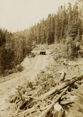
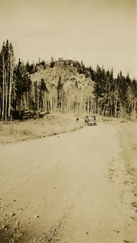
[between 1913 and 1923]
Part of Pacific Great Eastern Railway Region Photograph Collection
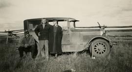
Photograph depicts a ranch home and barn along the road from Lillooet to Clinton. The location is believed to be a homestead 2 miles south of Pavilion Station. Two cars are parked beside the property, with a number of men nearby.