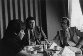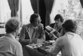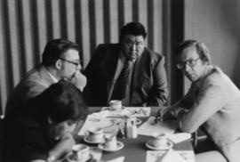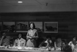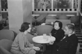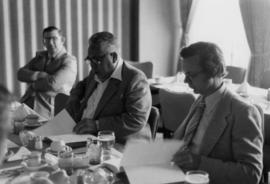
2009.6.13.49.0382
·
Item
·
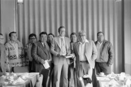
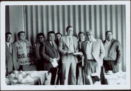
18 May 1977
Part of The Honourable Iona Campagnolo fonds
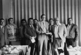
The group stands against wall, banquet tables in foreground.
Handwritten annotation on verso reads: "Minister DINA Hugh Faulkner + Kitamaat Band Council for Land Claim presentation".