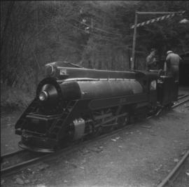
2013.6.36.1.059.27
·
Item
·
4 Apr. 1969
Part of David Davies Railway Collection
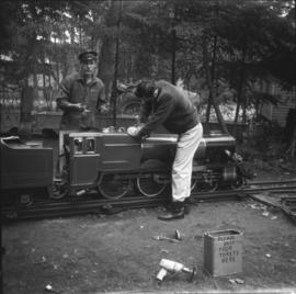
Photograph depicts one of the two steam locomotives that operated on the Victoria Miniature Railway. Labelled "Royal Scot." Found in Scarborough a few years prior, in poor condition. Carries a boiler test date of 1947 by Vulcan.