2012.13.1.6.164
·
Item
·
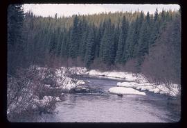
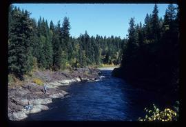
Nov. 1980
Part of J. Kent Sedgwick fonds
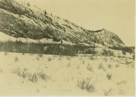
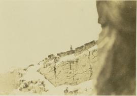
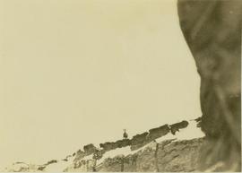
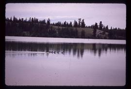
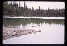
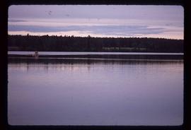
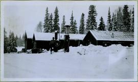
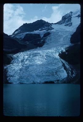
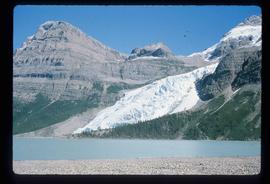
Image depicts Blackwater River.