Collection consists of 30 audio cassettes containing 46 interviews conducted primarily by radio & TV broadcaster Bob Harkins with local personalities. Most recordings were conducted at CJCI Studios, Prince George. The station was launched in 1970 by Central Interior Radio, broadcasting on 620 AM. In 1983, Central Interior also launched CIBC-FM in the city. Central Interior Radio was acquired by the Vista Broadcast Group in 2005.
Harkins, BobPeace River Region, BC
60 Archival description results for Peace River Region, BC
Item consists of transcript and tape summary of interview with Tom Waller who discusses fire protection and forest fires in the Prince George and Peace River region.
Harkins, BobItem consists of transcript of interview with writer, film maker, and guide outfitter Andy Russell conducted by Bob Harkins at Prince George Radio Station, CJCI regarding Russell's experiences with guiding in Northern Rockies. Russell also discusses his new work The Life of a River and discusses the environmental impact of hydro-electric development on rivers
Harkins, BobConsists of two photograph albums that illustrate Parker Bonney's early years as a Forest Engineer. Includes photographs of the expedition to the Nass Valley undertaken by Parker Bonney, Sam Brown, and others. May also include photographs of later surveying expeditions.
Bonney, ParkerFile contains slides depicting places along the Peace River.
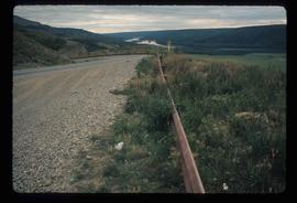
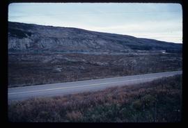
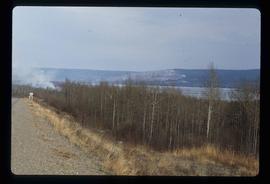
Image depicts a road with a guardrail and open fields somewhere near Dawson Creek, B.C.
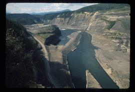
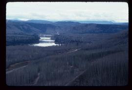
Image depicts a section of the Peace River blocked off by the W.A.C. Bennett Dam. The dam itself is not visible in the image.
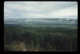
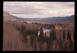
Image depicts an area of forests and fields somewhere near Fort St. John, B.C.
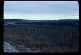
Image depicts a section of forest located somewhere in the Peace River Regional District of B.C.
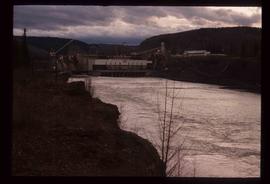
Image depicts a dam on what is possibly the Peace River.
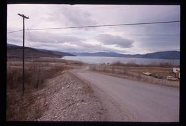
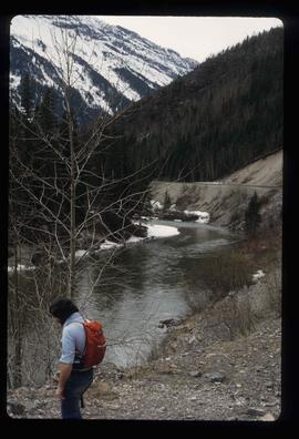
Image depicts what is possibly the Peace River running parallel to a road, possibly Highway 29.
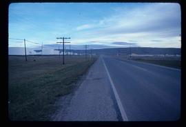
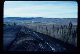
Image depicts a stretch of highway, possibly Highway 29 or 97.
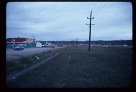
Image depicts a street of shops at an uncertain location somewhere in the Peace River Regional District. A pink and blue building, possibly a theatre, is labelled "Lux."
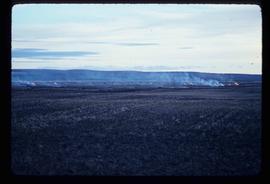
Image depicts grass burning at an uncertain location in the Peace River Region.
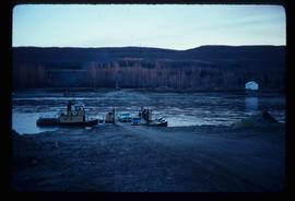
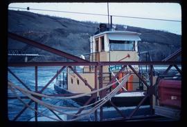
Image depicts the Clayhurst Ferry on the Peace River.
Image depicts the Clayhurst Ferry on the Peace River.
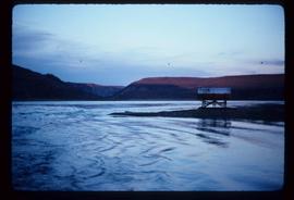
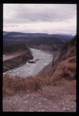
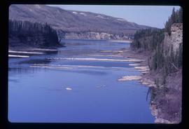
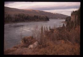
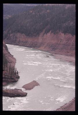
Image depicts the Peace River, possibly near Clayhurst or Hudson's Hope, B.C.
Image depicts the Peace River, possibly near Clayhurst or Hudson's Hope, B.C.
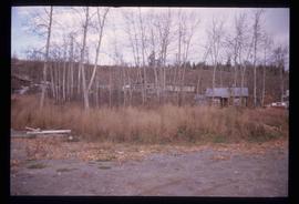
Image depicts a cabin and several other buildings, possibly located in Hudson's Hope, B.C.
Image depicts the Peace River, possibly near Hudson's Hope, B.C.
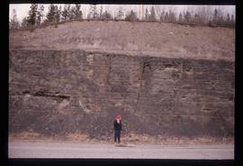
Image depicts an unidentified individual standing in front of a rock face with visible sediment layers. Located somewhere in the Peace River Region, possibly near Hudson's Hope.
Image depicts what is possibly the Peace River.
Image depicts what is either the Peace or Kiskatinaw River in Pine Valley, B.C.
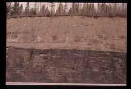
Image depicts a wall of rock with visible sediment layers at an uncertain location in the Peace River Region, possibly near Hudson's Hope.
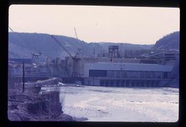
Image depicts a dam, possibly on the Peace River.
Image depicts a dam and a reservoir of water, possibly on the Peace River.
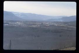
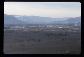
Image depicts a view of Chetwynd, possibly from Highway 97.
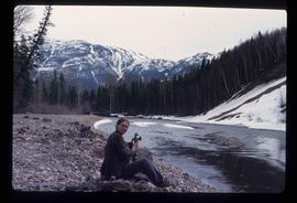
Image depicts an unidentified woman with a camera sitting on the bank of a river.
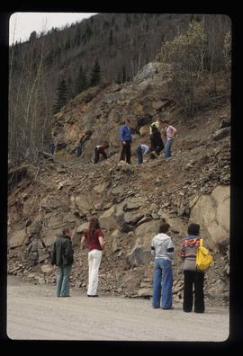
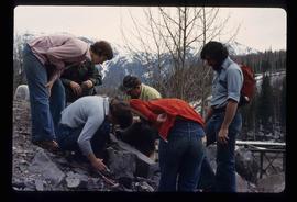
Image depicts numerous individuals who appear to be searching among the rocks on a ledge at an uncertain location in the Peace River Region.
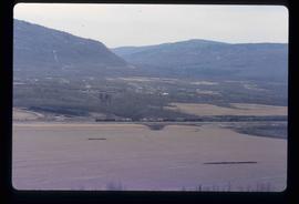
Image depicts a river, possibly the Peace River.
Image depicts a group of individuals who appear to be examining a rock. It is possibly part of an educational trip.
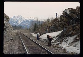
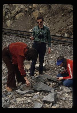
Image depicts a group of individuals who appear to be searching through the rocks near a railway track. It is possibly part of an educational trip.
Image depicts a delta at Moberly Lake north of Chetwynd and south of Hudson's Hope, B.C.
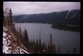
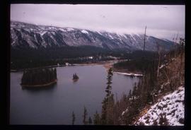
Image depicts an obstructed view of Moberly Lake, located north of Chetwynd and south of Hudson's Hope, B.C.
Image depicts the Peace Canyon Dam and generating station under construction on the Peace River.
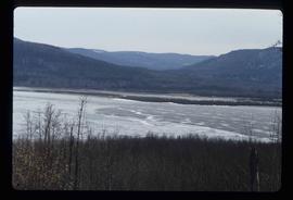
Image depicts what is possibly the Peace River.
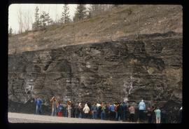
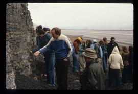
Image depicts a large group of people examining the sediment layers in a rock face.
Image depicts a large group of people examining the sediment layers in a rock face.
File contains slides depicting places in or near Pine Pass and along the Peace River.
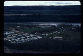
Image depicts a view of numerous houses and a ballpark at an uncertain location. It is possibly located somewhere in the Peace River Region.
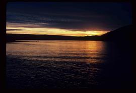
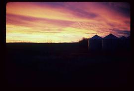
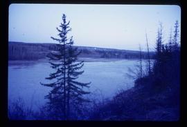
Image depicts a view of a sunset at an uncertain location, possibly in the Peace River Region.
Image depicts the Peace River.
Image depicts the Peace River.
Image depicts the Peace River.
Image depicts the Peace River.
Image depicts three unidentified individuals examining rocks near a set of railway tracks at an uncertain location in the Peace River Region.
Image depicts a view of a saw mill in Chetwynd, B.C.
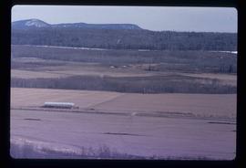
Image depicts a view of some farm land in Chetwynd, B.C.
Image depicts a view of a saw mill in Chetwynd, B.C.
Image depicts a view of a train passing through an area of Chetwynd, B.C.
