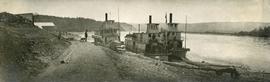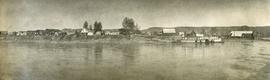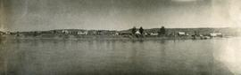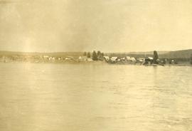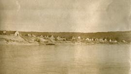
2020.05.45
·
Item
·
1936
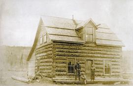
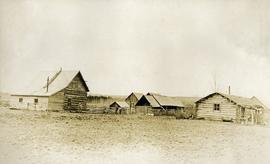
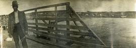
Part of Gordon Wyness Album
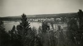
Photograph depicts a view of the town of Quesnel from a southeast hill. Fraser River and the Fraser River Bridge are visible at left, the Quesnel River at right.