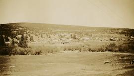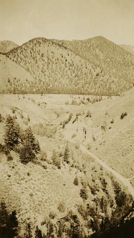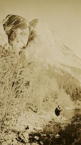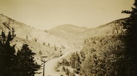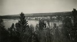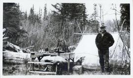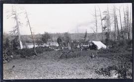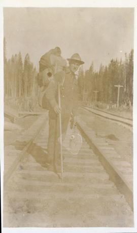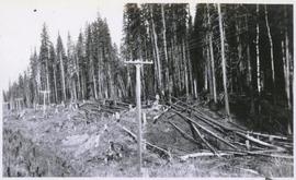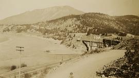
2020.05.35
·
Stuk
·
1936
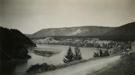
Part of Gordon Wyness Album
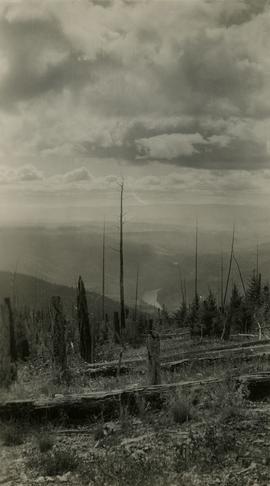
Photograph depicts the confluence of the Fraser and Thompson Rivers at Lytton. Wyness originally misnoted the location as Lillooet, BC.