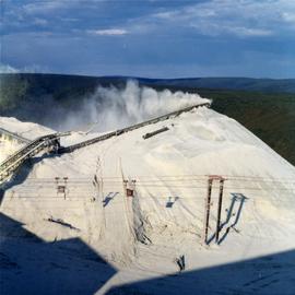
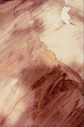
Photograph depicts an asbestos pile at the Clinton Creek mine.
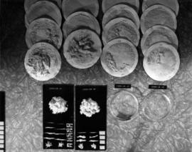
Photograph depicts samples of Cassiar asbestos.
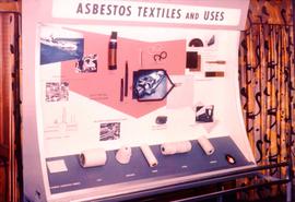
Photograph depicts a posterboard display entitled "Asbestos Textiles and Uses" with carded asbestos fibres.
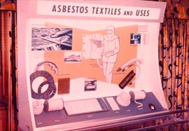
Photograph depicts a posterboard display entitled "Asbestos Textiles and Uses."
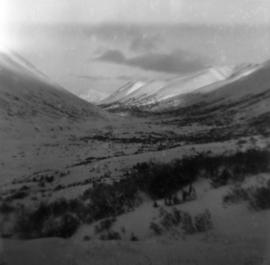
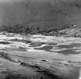
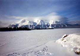
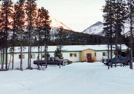
Photograph depicts snow-covered Asbestos Valley from a low altitude point on the mountain road leading to the mine.
Photograph depicts snow-covered Asbestos Valley, taken from mountain road looking northwest.
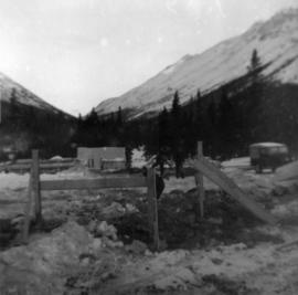
Photograph depicts three men building garage foundation in snow-covered plant site. Truck to right of men, wood fence structure in foreground, Asbestos Valley in background.
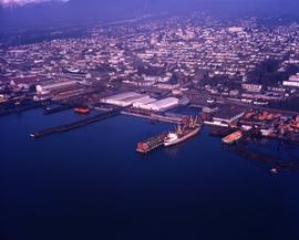
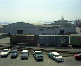
Photograph depicts the asbestos wharf with warehouse. Immediately in the background is a large residential area.
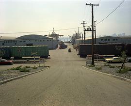
Photograph depicts the asbestos wharf on pier 94 with train tracks.
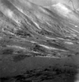
Photograph depicts snow-covered Asbestos Valley, slightly north of asbestos deposit.
Photograph depicts chief engineer for environment and safety Ashley Brown.
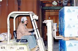
Photograph depicts production worker B. Sall operating a forklift.
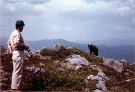
Photograph depicts a cinnamon bear and Andre Beguin with camera on a rocky hill. Mountains in background.
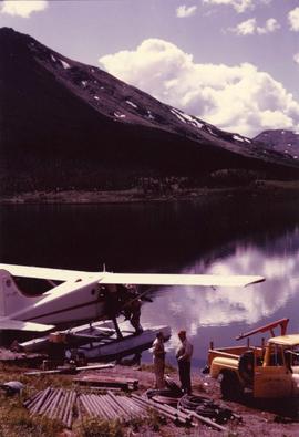
Photograph depicts Cassiar's Chief Geologist Bill Plumb and unidentified man standing on shore by yellow Cassiar supervisor's truck. A third man stands on Airplane parked on lake behind them, and miscellaneous equipment lies on shore at Bill's feet. Photograph speculated to have been taken at Aeroplane Lake, approximately 35 miles east of Cassiar. Bill Plumb led many expeditions for the purposes of Cassiar's outside exploration endeavours.
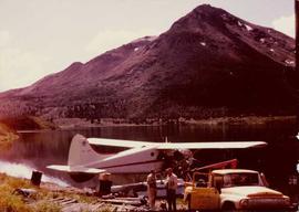
Photograph depicts Cassiar's Chief Geologist Bill Plumb and unidentified man standing on shore by yellow Cassiar supervisor's truck. Airplane is parked on lake behind them, and miscellaneous equipment lies on shore at Bill's feet. Photograph speculated to have been taken at Aeroplane Lake, approximately 35 miles east of Cassiar. Bill Plumb led many expeditions for the purposes of Cassiar's outside exploration endeavours.
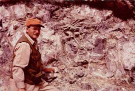
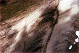
Photograph depicts Bill Plumb at recently excavated wall of serpentinite with cross fracturing filled with asbestos fibre. Handwritten annotation on note attached to photo: "Chief Geologist Wilfred M Plub at Discovery at Clinton Creek 1963 + or -."
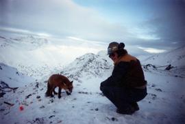
Photograph of man, believed to Bill Pratt, with a fox on top of a mountain.
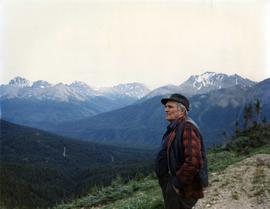
Photograph depicts William (Bill) Storie at location known as Limestone Mountain, southwest of Cassiar, B.C. Photo features profile of Bill, hands in pocket, Cassiar valley and mountains in background. Storie was a renowned prospector in the Cassiar area, and the new school at Cassiar was named for him in 1992.
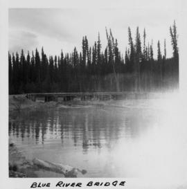
Photograph depicts a bridge at Blue River taken from shore.
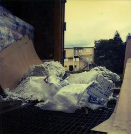
Photograph depicts a torn bag of asbestos sitting on the back of a truck or shipping container.
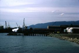
Photograph depicts the Cassiar Asbestos Corporation's wharf being built.
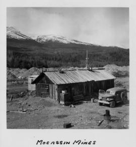
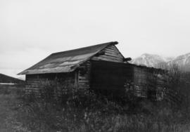
Photograph depicts a wooden structure in a gravel landscape. Truck with open door in foreground, forest and snow capped mountains in background. Mounds of gravel visible behind structure.
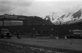
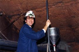
Photograph depicts a building with mountains in teh background. A man wearing a hardhat stands outside.
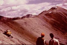
Bulldozer works along talus slope in top right of image. Photograph believed to have been taken during an outside exploration trip led by Cassiar's Chief Geologist Bill Plumb.
Photograph believed to have been taken near Kutcho Creek, BC during an outside exploration trip led by Cassiar's Chief Geologist Bill Plumb. Bill stands to left of man believed to be Matt Bell in right foreground. Bulldozer works along talus slope in left foreground.
Bulldozer works along talus slope in centre of image. Photograph believed to have been taken near Kutcho Creek, BC during an outside exploration trip led by Cassiar's Chief Geologist Bill Plumb.
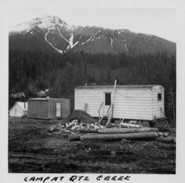
Photograph depicts three small camp structures in dirt landscape: one trailer, one wooden building and one tent building. Logs and wood pile in foreground, forest and snow-capped mountain in background.
Photograph depicts process engineer Carl Kottmeier.
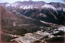
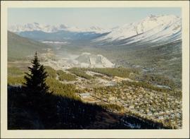
Photograph depicts the Cassiar town in foreground, mine valley and north mountain range in background. Photograph speculated to have been taken during the plane ride of an outside exploration trip.
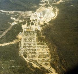
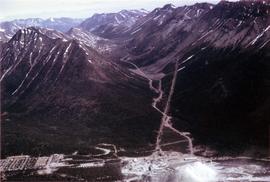
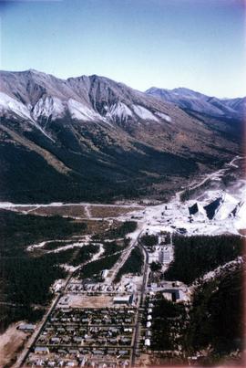
Photograph depicts the Cassiar mine valley in north mountain range. Plant and tailings pile can be seen in right foreground, and the east end of the town is visible in left foreground. Photograph speculated to have been taken during the plane ride of an outside exploration trip.
Photograph depicts the Cassiar valley, showing the east end of town in foreground. Plant and tailings pile can be seen in right midground. Photograph speculated to have been taken during the plane ride of an outside exploration trip.
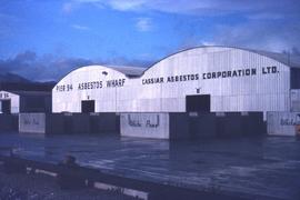
Photograph depicts the Cassiar Asbestos Corporation's warehouse on Pier 94.
photograph depicts the Cassiar Asbestos Corporation warehouse on the asbestos wharf at Pier 94 near train tracks.
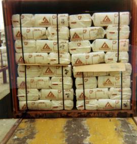
Photograph depicts Cassiar asbestos units in a shipping container at Erich Plant.
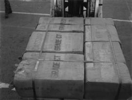
Photograph depicts a unit of grade CT Cassiar asbestos bags.
This file contains images of a land dispute around Cassiar. The photographs depict a cabin on a lot, a destroyed cabin, and outhouses. The accompanied documents in the original file refer to the subjects of "Claims, Leases, and Land lots," and it is implied that there were issues of squatters, illegal occupation, and mineral claims.
Photograph depicts the Cassiar townsite behind shadow in foreground. Plantsite can be seen including the mill, dry rock storage building, tailings pile, and many other buildings. Mountains in background. Handwritten annotation on recto: "<- 13 1/2" ->". (This photograph was made into a promotional poster.)
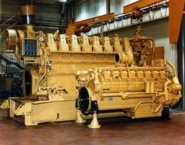
Photograph depicts large Caterpillar engine in large shop with sheeted walls and brick floor. Accompanying note reads: "MTCE 4-01 (b) Cat 3612 Engine".
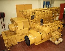
Photograph depicts large Caterpillar engine against painted brick wall in building with brick floor. Miscellaneous equipment in background. Accompanying note reads: "MTCE 4-01 (b) Cat 3612 Engine".
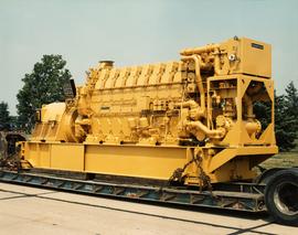
Photograph depicts large Caterpillar engine on flatbed. Road in foreground, trees in background. Accompanying note reads: "MTCE 4-01 (b) Cat 3612 Engine".
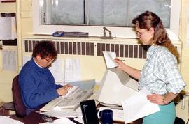
Photograph depicts warehouse clerks Cecile Pratt and Tracy Kellar in an office.
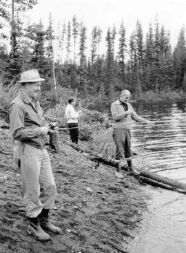
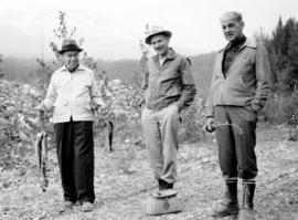
Photograph depicts three men fishing from shore. Water and trees in background. Left to right: Jack Christian, Plato Malezemoff, Tam Zimmermann.
Photograph depicts three men fishing from shore. Water and trees in background. Left to right: Jack Christian, Plato Malezemoff, Tam Zimmermann.
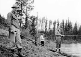
Photograph depicts three men with fishing gear. Trees and mountains in background. Left to right: Plato Malezemoff (holding fish), Jack Christian, Tam Zimmermann.
