File consists of C.I.F. minutes, correspondence, membership addresses, and annual reports, 1956-1957.
File consists of C.I.F. Cariboo Section membership information, 1961-1962.
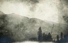
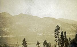
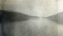
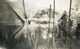
Photographs are panoramas taken from the Churchill BC Forest Service Lookout, located at latitude 54°04' and longitude 122°16'. The photographs were bound together and include a transparent grid that was intended to be used for locating forest fires.
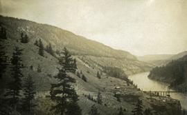
Photograph depicts a foreground of forest looking toward Christina lake with mountains in the background.
Photograph depicts a foreground of forest looking toward Christina lake with mountains in the background.
Photograph depicts the still waters of Christina Lake bordered by forest with mountains in the distance.
Photograph depicts a foreground of forest looking toward Christina lake with mountains in the background.
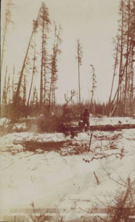
Photograph of a person chopping down firewood in a forest. Printed annotation on recto reads: "Chopping Fire-Wood, near Fort Simpson, 1118." Handwritten annotation on verso reads: "55 Avenell Road, N. 29-2-'08 I wanted to write you a letter, but have had suck a lot to do, I find there isn't time before Prayer meeting; and as I haven't been able to go to P.M. for the last three weeks, I am sure you won't mind just for this once. Here is a p.c. of Canada which I promised you; don't you think it is pretty? Things are going on pretty well now; mother is better & Daisy- well, I never saw SO much improvement in anyone in one short week. As much love as if this were the longest letter I have ever written you, from Effie." Postcard is addressed to: "Mis J.G. Grafton "Belmont" Tividale Road, Tipton, Staffs." Verso is affixed with a British halfpenny green stamp and canceled with a postmark that reads: "Highbury S.O. 915 PM Fe 29 08."
Footage of chipmunk eating. Location of filming is unknown.
File consists of a published copy of Canadian Technical Report of Fisheries and Aquatic Sciences No. 1728, entitled "Chinook Salmon Studies in the Nechako River: 1980, 1981, 1982".
File consists of a copy of an Aluminum Company of Canada Kemano Completion Hydroelectric Development Technical Memorandum by Envirocon entitled "Chinook Salmon Spawning, Incubation and Emergence Studies in the Nechako River, B.C. During 1980-1981".
File consists of report entitled "Chinook Salmon (Oncorhynchus tshawytscha) Fry and Smolt Enumeration/Marking Project, Nechako and Quesnel/Horsefly Rivers, B.C." by W.R. Olmsted, P.W. Delaney, T.L. Slaney and G.A. Vigers of EVS Consultants for DFO.
File consists of a draft copy of an Aluminum Company of Canada Kemano Completion Hydroelectric Development Technical Memorandum by Envirocon entitled "Chinook Salmon Fry Density in Relation to Depth, Velocity, Substrate and Cover in the Nechako River".
File consists of a photocopy of "Nechako River Chinook Salmon Escapements Estimates" and a copy of discharge-escapement data for BC rivers.
File consists of a photocopy of an Envirocon graphs and tables, possibly copies of overheads used in a presentation entitled "Chinook Salmon by Life Cycle Stage".
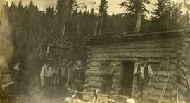
Photograph depicts six men standing outside a small log building. A sawhorse in the foreground, a tall pole "cache" and forest in the background.
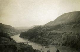
Photograph depicts a long spanned bridge crossing the Fraser River near Chimney Creek, BC.. Album notes state: "views of Chilcotin"
Photograph depicts a long spanned bridge crossing the Fraser River near Chimney Creek, BC.. Album notes state: "views of Chilcotin"
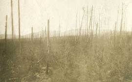
Photograph depicts standing trees that have been burnt, possibly after forest fire. Low hills can be seen in the background.
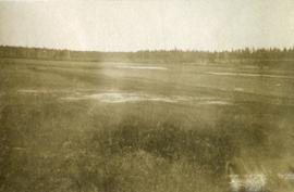
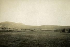
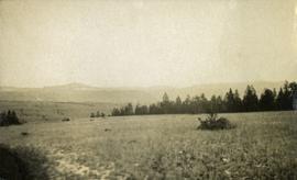
Photograph depicts open grassland with forest in the background.
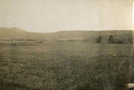
Photograph depicts open range land and treed low hills.
Photograph depicts open range land and treed low hills.
Photograph depicts open range land and treed low hills.
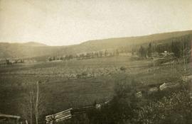
Photograph depicts open range land and treed low hills. There is a log fence in the foreground and roofs of buildings on the right.
File consists of correspondence and reports from John Hummel and Dana Wagg, Cheslatta Band researchers. Also includes clippings; anti-Kemano propaganda material; copies of Alcan correspondence; "The Story of the Surrender of the Cheslatta Reserves on April 21, 1952"; "Chronology of the Cheslatta Lake Flooding and Subsequent Surrender, Moving and Relocation of the Cheslatta Indian Band as Gleaned from Original Letters, Documents, Interviews, and other Printed and Written Material" compiled by Mike Robertson in 1991; "Kemano 2 Update" report by Dana Wagg; and "Kemanogate: Secret DFO probe quashed, Tapes destroyed" by Dana Wagg.
File consists predominantly of faxed correspondence and documents from the Cheslatta Carrier Nation and the Carrier Sekani Tribal Council. These documents include copies of newspaper clippings, news releases, publicity material regarding Cheslatta Band's position on the Kemano Completion Project, briefing notes, documents written by Dana Wagg, correspondence from Alcan to the Band, and copies of released Department of Fisheries and Oceans memoranda. Also includes "The Story of the Surrender of the Cheslatta Reserves on April 21, 1952" by Mike Robertson; a copy of a "Proposal for an Agreement between the Government Commission of the Gitksan Wet'suwet'en People and the Vera Corporation regarding the Nanika River Project" of November 13, 1991; and a 1984 paper by Megan Swail entitled "The Kemano Completion Project: Selected Legal Issues".
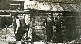
Photograph depicts three men standing in front of a log cabin. Two men hold fishing rods and each of these men hold a freshly caught fish. The third man stand to the side with a loaded back pack. Two men smoke pipes.
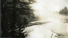
Photograph depicts a man wading waist deep in the river. Stones on the one shore, a log jam on the other shore, fog rolling over the stream in the distance.
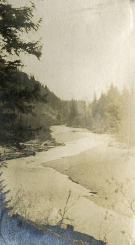
Photograph depicts a view of the Cheakamus river from a lofty perch.
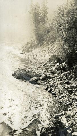
Photograph depicts a close up view of the Cheakamus river. Stones and brush line the river bank.
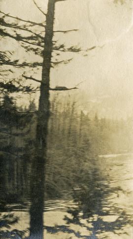
Photograph depicts a view from behind the trees, looking down on the river.
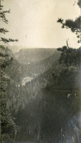
Photograph depicts a bird's eye view of a chasm and forested hills.
Photograph depicts a long line of 30 or more horses or mules and men. The horses appear to be tethered to a rope, some animals are wearing packs. Several men attend.
File consists of a photocopy of Clifford Burner's Fishery Bulletin entitled "Characteristics of Spawning Nests of Columbia River Salmon".
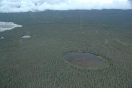
This image is part of the outbound sequence of aerial images obtained on the helicopter flight to the Klutlan Glacier study site. The sequence starts from the base camp at the White River crossing on the Alaska Highway and heads south, to a point just upvalley of the debris-covered terminus (approx. 10-15 km from Alaska border), and turning back north to the landing spot on the Generc River floodplain close to the study site (see Fig. 1 in paper).
File consists of a copy of Peter Ward's report on "Channel Changes in Kemano River to Date and Expected Future Changes from Kemano Completion Project".
File consists of a conference paper titled "Change and Development in the New Zealand Security and Intelligence Services" presented by Weller at WSSA, San Diego, 26-30 April 2000. This file was originally numbered to correspond with conference paper number 108 listed in Weller's CV.
File consists of a conference paper titled "Change and Development in the Australian Intelligence Network" presented by Weller at CASIS, Brock University, 2-4 June, 1996. This file was originally numbered to correspond with conference paper number 95 listed in Weller's CV.
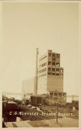
Photograph of a Canadian Grain elevator next to the railway in Prince Rupert, BC. Printed annotation on recto reads: "C.G. Elevator. Prince Rupert."
File consists of "Summary of CFS Prescribed Fire Research on Backlog NSR Land in Northern Interior B.C. Supported by the 1985-90 FRDA Agreement" prepared for the Research Silviculture's Field Tour July 25-28, 1988.
File consists mostly of lists of Canadian Forestry Service experiment sites and plots with some related maps and notes.
File consists of photocopied material regarding the Aleza Lake Experimental Station from the Canadian Forest Service Archives in Victoria. Also includes handwritten notes.
File consists of a memorandum from E.L. Young, Chief Forester, September 11, 1974.
File consists of memorandum to Deputy Minister from I.T. Cameron, Chief Forester, June 13, 1973.
File consists of a licence and framed certificates and photographs for Harry Coates. File includes:
- Scaling Licence (1962)
- two certificates celebrating Harry Coates' 25 years of service with the Forest Service (1982)
- photograph of Harry Coates, [Ted or Jed?] Baker, and John Revel at Aleza Lake Research Forest Re-opening July 9, 1992.
- Photograph of Harry Coates and John Revel, identifying plaque reads "Buckhorn Lake E.P. 660".
File consists of notes, clippings, and reproductions relating to British Columbia's central interior forestry industry. Includes material regarding beehive burners; economic viability of timber in Prince George, Quesnel, Burns Lake, and Houston; the Canfor pulp mill in Prince George; and Carrier Lumber Ltd. mill in Prince George. File primarily consists of clipped articles from the Prince George Citizen newspaper, including "Forest Expo 2004" special edition of the Prince George Citizen newspaper (1 June 2004).
File consists of notes, clippings, and reproductions relating to historical and contemporary natural resource surveys in British Columbia. Includes material on oil discovery, farming conditions, timber stands, the Alaskan Highway, and railway development. File predominantly consists of search results from the University of Northern British Columbia library, College of New Caledonia library, and Prince George Public Library regarding British Columbia's natural resource surveying.
Item is an aerial photograph of mill by a waterway.
Item is an aerial photograph of mill by a waterway.
