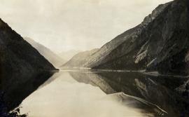
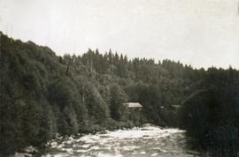
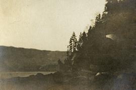
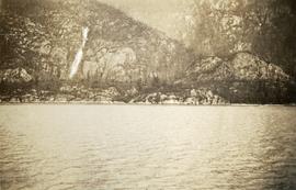
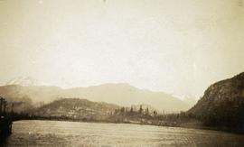
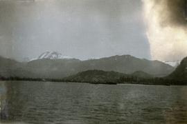
Geographic Features

Elements area

Taxonomy

Code

Scope note(s)

  • Includes both natural and artificial features
  • Physical landscape, built landscape
  • Urban and industrial landscapes
  • Topography
  • Site plans
  • Boundaries, districts, reserves, parks, sanctuaries, towns, etc.
  • NOTE: Mainly but not exclusively pertaining to photographic and cartographic records
  • SEE ALSO: Land, Settlement and Immigration

Source note(s)

  • MemoryBC Subject Groups

Display note(s)

    Hierarchical terms

    Geographic Features

      Equivalent terms

      Geographic Features

        Associated terms

        Geographic Features

          4134 Archival description results for Geographic Features

          4134 results directly related Exclude narrower terms
          2020.08.06 · Item · [between 1914 and 1923]
          Part of Pacific Great Eastern Railway Region Photograph Collection
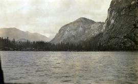
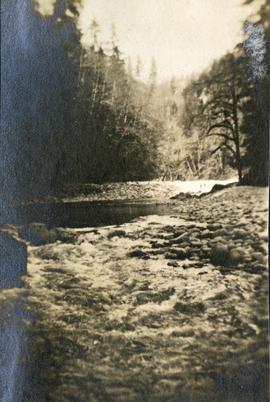
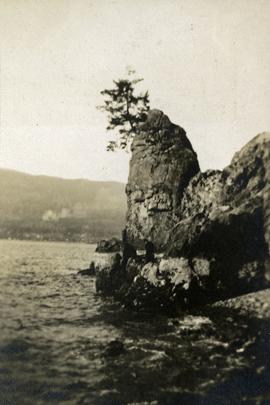
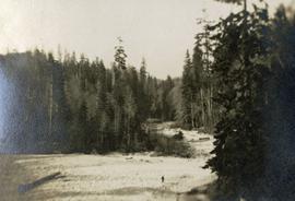
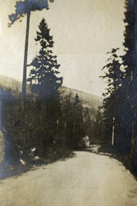
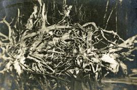
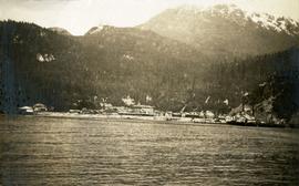
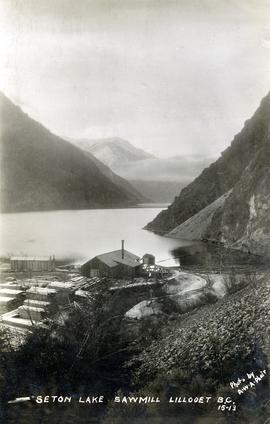
          Photograph depicts a view of St'a7mes village looking north, taken from the original Government Wharf in Squamish (Newport). This wharf was built in 1902 and was temporarily replaced by other docks to the west built by the PGE Railway in 1913-14. This photograph was taken after 1914, since the houses in the photo were built by the PGE Railway Company as part of the 1914 reserves sale deal.

          Further details that date this photograph between late 1914 and 1920:

          • the Merrill & Ring logging operation beach camp is not depicted (opened in 1926)
          • the dock from which the photo is taken fell into disrepair after 1914 and was not rebuilt until 1929.
          2020.08 · Collection · [between 1905 and 1926]

          This collection consists of photographs and "real photo" postcards that depict the construction and operation of the Pacific Great Eastern Railway line, communities nearby the railway line, and regional geography of areas adjacent to the PGE line.

          François Lake from ferry
          2020.05.49 · Item · 1936
          Part of Gordon Wyness Album

          Photograph depicts a view of François Lake taken from the ferry going to Northbank Point on right-hand side. The survey crew camped there in June 1936.

          Chasm
          2020.05.48 · Item · 1936
          Part of Gordon Wyness Album

          Photograph depicts "The Chasm" or "The Painted Chasm", located 11 miles north of Clinton, adjacent to the route of the Cariboo Road. In 1940, four years after this photograph was taken, Chasm Provincial Park was created in 1940 to preserve and promote the Painted Chasm feature, a gorge created from melting glacial waters eroding a lava plateau over a 10 million year span.

          Chasm, BC
          2020.05.47 · Item · 1936
          Part of Gordon Wyness Album

          Photograph depicts "The Chasm" or "The Painted Chasm", located 11 miles north of Clinton, adjacent to the route of the Cariboo Road. In 1940, four years after this photograph was taken, Chasm Provincial Park was created in 1940 to preserve and promote the Painted Chasm feature, a gorge created from melting glacial waters eroding a lava plateau over a 10 million year span.