Fraser River, BC

Elements area

Taxonomy

Code

Scope note(s)

    Source note(s)

      Display note(s)

        Hierarchical terms

        Fraser River, BC

          Equivalent terms

          Fraser River, BC

            Associated terms

            Fraser River, BC

              152 Archival description results for Fraser River, BC

              152 results directly related Exclude narrower terms
              "Fraser Gold"
              2006.9.6 · File · c.1990 - c.2000
              Part of Bob Harkins fonds
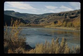
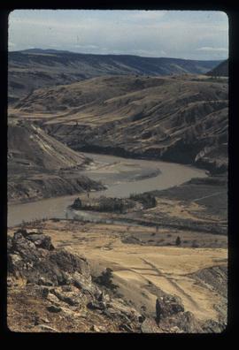
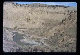
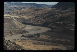
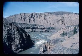
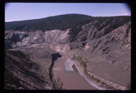
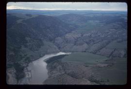
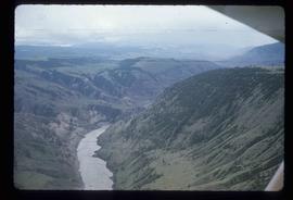
              File consists of 1 VHS recording entitled "Fraser Gold," produced by the Fraser River Discovery Centre.

              Moran Canyon
              2012.13.1.53.48 · Item · July 1982
              Part of J. Kent Sedgwick fonds

              Image depicts a view of Moran Canyon in the Lillooet area. The Fraser River is visible on the left.

              Moran Canyon
              2012.13.1.53.50 · Item · July 1982
              Part of J. Kent Sedgwick fonds

              Image depicts the Moran Canyon; the Fraser River is visible near the bottom.

              Gang Ranch - Fraser River
              2012.13.1.52.34 · Item · [1980?]
              Part of J. Kent Sedgwick fonds

              Image depicts the Fraser River, and a sign pointing towards Gang Ranch with an unknown individual hugging it, in the Upper Fraser Canyon.

              Farm
              2012.13.1.50.067 · Item · 1978
              Part of J. Kent Sedgwick fonds

              Image depicts a farm on the west side of the Fraser, south of Quesnel, B.C.

              Rock Formations
              2012.13.1.65.52 · Item · [1976?]
              Part of J. Kent Sedgwick fonds

              Image depicts ridge-like rock formations at an uncertain location, though possibly somewhere near the Fraser River.

              Moran Canyon
              2012.13.1.53.23 · Item · Mar. 1975
              Part of J. Kent Sedgwick fonds

              Image depicts the Fraser River running through the Moran Canyon near Lillooet, B.C.

              Slump or Mining
              2012.13.1.65.34 · Item · June 1975
              Part of J. Kent Sedgwick fonds

              Image depicts an aerial view of a section of land, likely near the Fraser River, that is possibly either a slump or part of a mining operation. The slide is labelled "slump or mining."

              Landscape - Fraser River
              2012.13.1.65.38 · Item · June 1975
              Part of J. Kent Sedgwick fonds

              Image depicts an aerial view of the land near the Fraser River. The Fraser River is barely visible on the right side of the image.

              Moran Canyon
              2012.13.1.53.19 · Item · Mar. 1975
              Part of J. Kent Sedgwick fonds

              Image depicts the Fraser River running through the Moran Canyon near Lillooet, B.C.

              Moran Canyon
              2012.13.1.53.24 · Item · Mar. 1975
              Part of J. Kent Sedgwick fonds

              Image depicts the Fraser River running through the Moran Canyon near Lillooet, B.C.