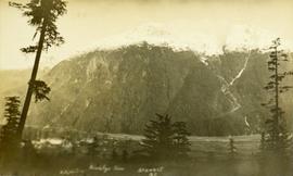
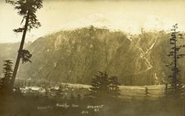
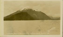
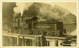
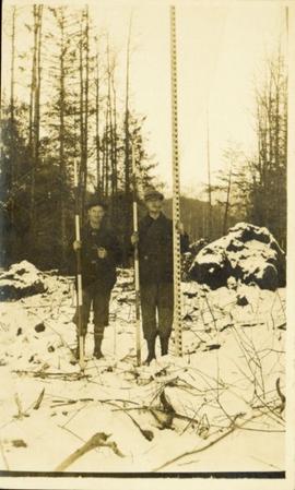
Image depicts a view of Bear Pass, likely from Glacier Highway and somewhere in or near Bear Glacier Provincial Park, located north-east of Stewart, B.C.
Stewart, BC
12 Archival description results for Stewart, BC
Photo of a mountain with what appears to be Stewart, BC at its foot. Printed annotation on recto is partially obscured by fading and reads: "[Illegible] Stewart, BC."
Photograph of a large pile driver working on the waterfront at the foot of a forested slope. Printed annotation on recto reads: 'Pile-driver working on Government Wharf Hughes #55."
Photograph of a mountain on the waterfront. Annotation on recto reads: "Portland & Stewart. New Twin Cities. Portland Canal. June 17th 1910. Button Photo. Prince Rupert, BC."
Image depicts Stewart, with a section of Mt. Shorty Stevenson dominating the background.
File contains slides depicting places in and around Stewart, B.C.
Wide angle view of mountains and small residential buildings. A large dock is visible in the foreground. Annotation on recto reads: "Stewart, BC., from Government Wharf."
Image depicts Stewart Harbour in Stewart, B.C.
File contains slides depicting places in and around Stewart, B.C.
Photograph of a train passing over a bridge near Stewart, BC. Printed annotation on recto reads: "103 Stewart BC."
Photograph of two men posing with large surveyor's measuring sticks in a forested area during winter.