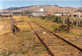
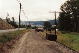
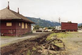
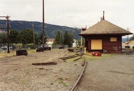
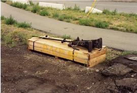
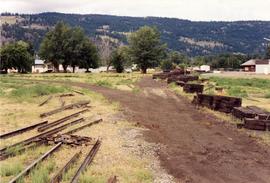
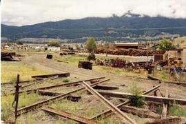
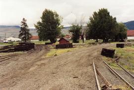
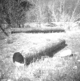
Photograph depicts what was once part of Nicola branch. It was later truncated to a spur for oil tanks. At the time the photograph was taken, it was abandoned altogether.
Merritt, BC
18 Archival description results for Merritt, BC
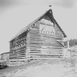
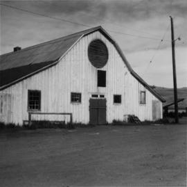
Photograph depicts a barn of the Glenwalker Ranch. Built in 1890-1910.
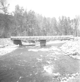
Photograph depicts a bridge over Clearwater River.
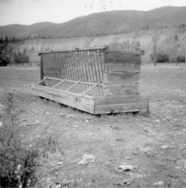
Photograph depicts a home made field cattle fodder trough found at Dot Ranch, some 200 yards from a CPR Dot spur.
Photograph depicts a cattle barn of the Douglas Lake Ranch.
Photograph depicts the dismantling of the KVR Spences Bridge to Penticton. Mileages are those established by the CPR sometime between 1955 and 1965.
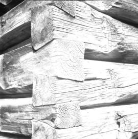
Photograph depicts Glenwalker Ranch. Visible are details of the log construction of a barn that was built between 1890 and 1910.
File consists of records created and accumulated by Gary Runka over the course of his consultancy work for Douglas Lake Cattle Company for the "Sustainable Grassland Management Strategy for Hamilton and Lundbom Commonages" project in Merritt. This file was numbered as G.G. Runka Land Sense Ltd. client file #526; that client number may be seen referenced elsewhere in the G. Gary Runka fonds. The Land Sense Ltd. client files generally include records such as correspondence, contracts, invoices, project reports, publications, ephemera, memoranda, maps or map excerpts, legal documents, meeting materials, clippings, and handwritten notes.
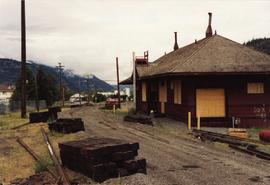
Photograph depicts the KVR depot in Merritt. Operator's signal post still stood.
Photograph depicts the KVR depot in Merritt. Building on the right was a freight shed.
Photograph depicts the KVR depot in Merritt.
Photograph depicts the KVR yard in Merritt. The switch stand was ready for dispatch.
Photograph depicts the KVR yard in Merritt. On the Nicola spur/branch, looking west towards the KVR depot. Track on the left was part of a wye.
Photograph depicts a part of the KVR yard in Merritt. Looking southeasy, with main line to Penticton bearing away to the right. Jumble of of rails in the foreground was believed to be a rail storage pile.
Photograph taken east of the KVR depot in Merritt. Trackage on the left was a Nicola spur/branch. Track to the right was part of the main line to Princeton. The two connected behind the trees to form a turning a wye.
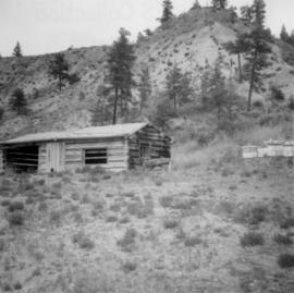
Photograph depicts a log cabin with a sod roof that was used as a cow shelter on Dot Ranch. The ranch was probably built by pioneers pior to 1900.
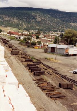
Photograph taken on the outskirts of Merritt, looking northwest. Captured from a lumber stack and the boundary of Weyerhaeuser Lumber Co. KVR had trackage into their mill with worthwhile out-bound traffic.
Photograph depicts wooden culverts found beside CPR track 10 miles south of Merritt and 1 mile south of Glenwalker Ranch.
