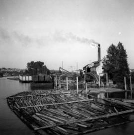
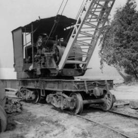
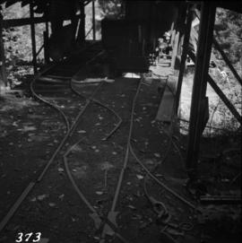
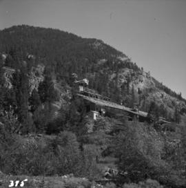
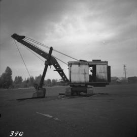
2013.6.36.1.003.048
·
Item
·
Aug. 1964
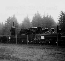
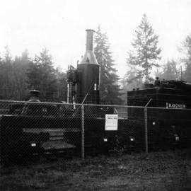
Parte de David Davies Railway Collection
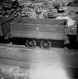
Photograph depicts the Tsable coal pit on Vancouver Island as the first coal of the afternoon shift being hauled up.