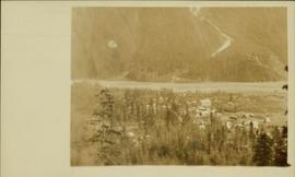
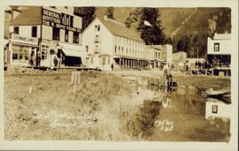
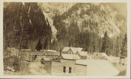
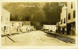
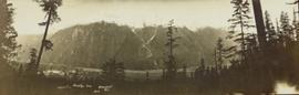
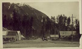
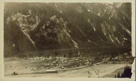
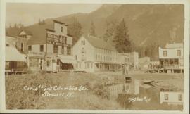
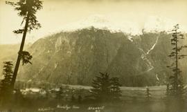
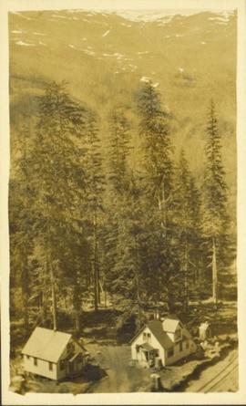
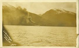
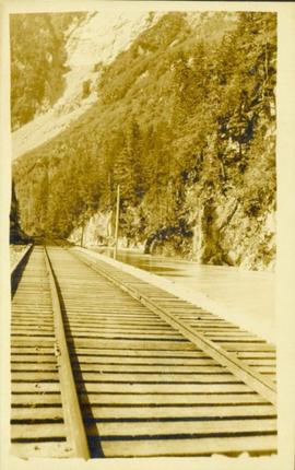
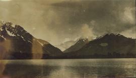
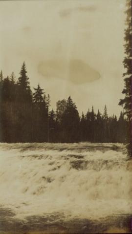
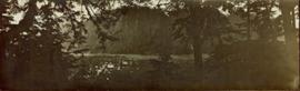
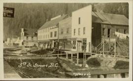
2012.13.1.084
·
Subseries
·
1994
Part of J. Kent Sedgwick fonds
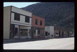
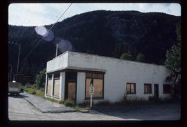
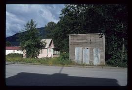
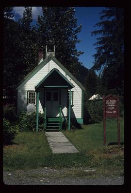
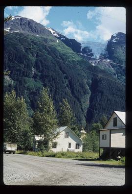
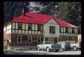
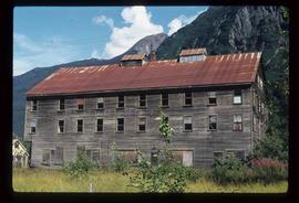
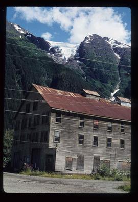
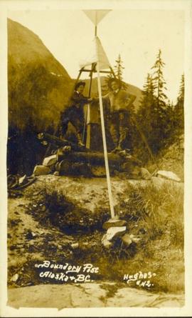
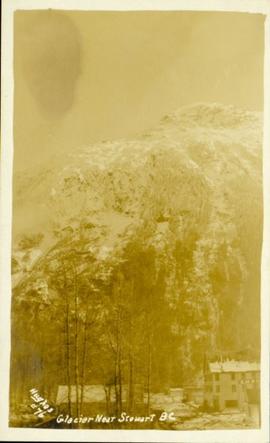
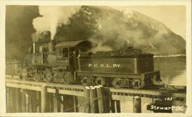
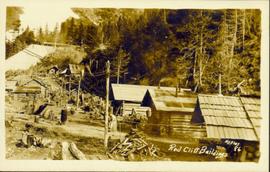
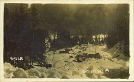
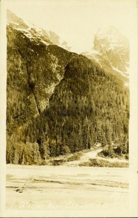
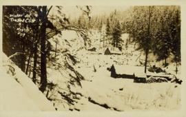
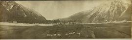
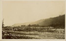
File contains slides depicting places in and around Stewart, B.C.