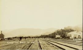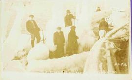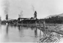
2011.3.3.8
·
Item
·
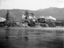
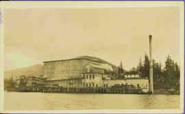
1914
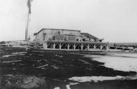
Parte de North Coast & Central BC Postcard Collection
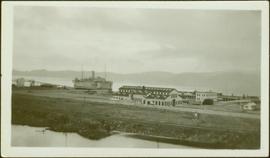
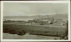
View from water of large industrial building (cannery?). Handwritten annotation in pencil on verso reads: “Seal Cove BC P. Rupert BC.” Handwritten message in ink on verso is addressed to “Miss Belding 33 Marlbro Avenue Hull Josks Eng.” 2 cancelled Canadian postage stamps read: “Vancouver B.C. Jul 4, 8 PM 1914”