2013.6.17
·
Série organique
·
2001-2013
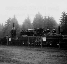
Fait partie de David Davies Railway Collection
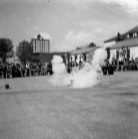
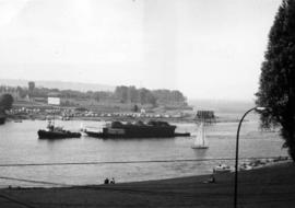
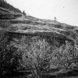
Series consists of articles, clippings, and other material regarding railway accidents and mishaps in British Columbia. Includes information about derailments, collisions, fires, slides, washouts, avalanches, runaway trains, bridge failures, accidents at grade crossings, and accident statistics.