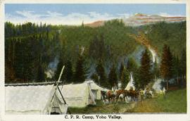
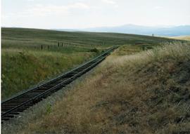
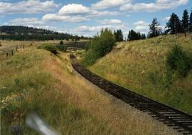
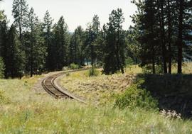
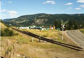
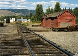
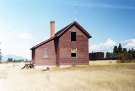
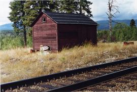
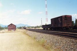
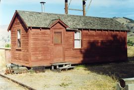
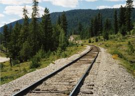
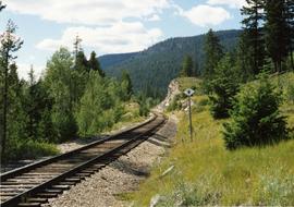
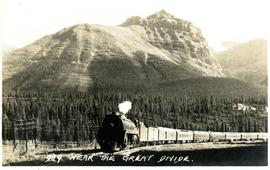
Postcard depicts the Great Divide between Alberta and British Columbia, along the CPR line.
Postcard depicts the Canadian Pacific Railway line where the Great Divide between BC and Alberta.
Postcard taken along the CPR line, at a camp in Yoho Valley.
Phoyo depicts a CPR swing bridge in Sicamous.
Photograph depicts a swing bridge in Harrison Mills. It was rarely used, but all its controls were modern and maintained.
Photograph depicts a CPR swing bridge in Harrison Mills. Taken on the downstream side of Harrison River.
Photograph depicts a CPR swing bridge in Harrison Mills. Looking west, on the upstream side of the Harrison River.
Photograph depicts a fuel storage shed in Harrison Mills.
Photograph depicts a CPR swing bridge in Harrison Mills. Looking east, towards Kilby Store. Swing section in the foreground. It was rarely used.
Photograph depicts a CNR lifting bridge in Vancouver.
Photograph depicts the Pitt River swing bridge in an open position. Apparently, it opened up to half a dozen times a day to allow large pleasure crafts to go through. Photograph taken at high tide when little clearance occurred.
Photograph depicts railway track previously owned by BCER. It led onto the east end of Lulu Island and then to Annacis Island. Looking from the Naew West River Walk to the Queensborough bridge that was protected by signals and had a high chain link fence to deter pedestrians. It was likely that the rail was only used at night. Originally built by Canadian Northern Railway to reach Steveston, circa 1917.
Photograph depicts the CPR Pitt River swing bridge in an open position.
Photograph depicts a CNR bascule bridge across the upper waters of Victoria Harbour. The rest of the trackage had been removed, except for the bridge itself.
Photograph taken about halfway between Summerland and Princeton.
Photograph taken near Princeton. Looking west, just before dropping into a big loop.
Photograph depicts KVR (CPR) trackage between Boundary Falls and Midway. The line had not yet been officially abandoned, but it was little used, if not at all.
Photograph depicts a terminus of a boundary Subdivision on mile 126.6 from Nelson.
Photograph taken between Summerland and Princeton. Depicts the beginning of the drop into Princeton Valley, just before a big loop.
Photograph depicts the top of the grade coming out of Princeton, going east to Penticton.
Photograph depicts one of the CPR loop on the 'big loops' near Princeton, on KVR trackage.
Photograph depicts a CPR spur line (located on the right), running off from the 'main line' that went from Princeton to Penticton. The spur led to a sawmill.
Photograph depicts KVR track in Princeton.
Photograph depicts what was once part of Nicola branch. It was later truncated to a spur for oil tanks. At the time the photograph was taken, it was abandoned altogether.
Photograph taken looking downgrade at CPR track, east of Princeton.
Photograph taken east of the CPR depot in Princeton.
Photograph taken at CPR Myra Canyon. On the 'Save the Trestles' expedition after a line closure at the location.
Photograph taken in front of the 'main line' that led to a pulp mill and river crossing. To the left was a lesser used connector to the CN main line. Behind the camera was a 4-track interchange yard. Beyond that, the CN line to Alberta could be found.
Photograph taken on a 40 ft. high embankment. Looking towards Fraser River. Northwood Pulp and Timber Ltd. in western direction. All trackage owned and built by the mill. Constructed in 1966.
Photograph depicts a switcher running towards a CN interchange. Just left the Fraser River bridge. All private and owned by Northwood Pulp and Timber Ltd.
Photograph depicts a private rail/road bridge built to serve Northwood Pulp and Timber, Ltd. Crossing Fraser River. Looking west, towards the mill. On private Northwood trackage.
Photograph taken at the Northwood Pulp and Timber Ltd, Prince George. Visible is a General Motors switcher, built in 1959. Aqcuired in 1981. Its sister locomotive had just returned from some major servicing at CN shops in P.G. Built in 1954 and acquired in 1989. Would not be used until business picked up. Pulp trade in world doldrums at the time the photograph was taken.
Photograph taken at the Northwood Pulp and Timber Ltd, Prince George. Visible is a General Motors switcher, built in 1959. Aqcuired in 1981. On private Northwood trackage with the mill in the background.
Photograph depicts Northwood Pulp and Timber Ltd, Prince George. Located north of the city, near the BC Rail and CNR mainline tracks. It had its own railway of about 5 miles in length and two diesel switchers.
Photograph depicts a former gang car 'garage' in a station building.
Photograph depicts typical 'set on' rails for speeders that were often made of wood.
Photograph depicts a tool house on a CNR curve in Armstrong. Not in frequent use.
Photograph depicts an abandoned section in Wasa, on the CPR Windermere Subdivision. Built in 1914-20. Very rare at this date. The only known of the same type was in Brookmere (private and lived in).
Photograph depicts the side view of an abandoned section house in Wasa, on the CPR Windermere Subdivision.
Photograph depicts a disused tool house in Wasa, at the CPR Windermere Subdivision. Davies notes the structure was rarely seen at the time the photograph was taken.
Photograph depicts a tool house in Wasa, at the CPR Windermere Subdivision. Before 1970, the station had siding for 37 cars. Now it had two sidings for a total of 150 cars. Note the old box car with old lettering that was presumably on non-reserve service.
Photograph depicts a CPR section bunk house in Midway. On the left was a living room with two windows, stove, and sink. Bedroom with one window and two beds located on the right.