Print preview Close
Showing 2347 results
Archival description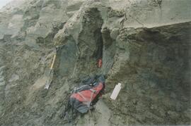
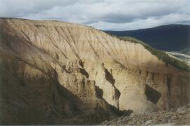
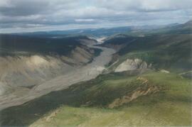
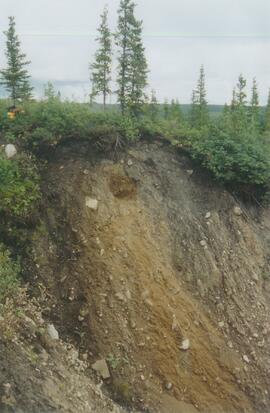
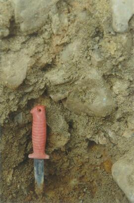
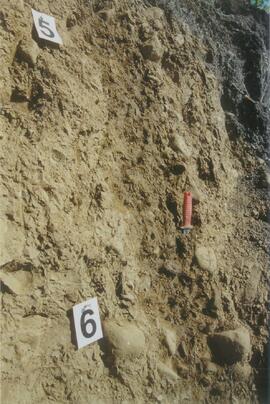
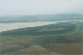
Gold Bottom upper pit (1)
Gold Bottom upper pit (2)
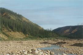
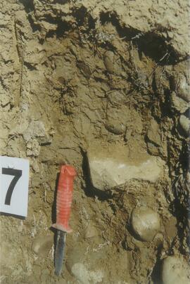
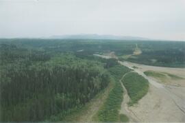
Site Y04-03 (4)
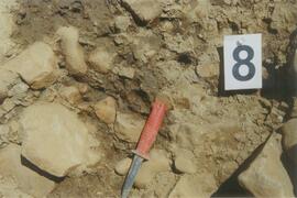
Site Y04-04 (3)
Grant Zazula at Goldbottom (2)
Grant Zazula at Goldbottom (2)
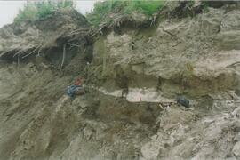
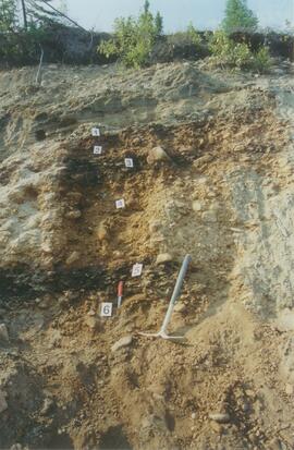
Ice under Dawson tephra at Gold Bottom (1)
Ice under Dawson tephra at Gold Bottom (1)
Ice under Dawson tephra at Gold Bottom (2)
Ice under Dawson tephra at Gold Bottom (2)
Little Bear River (4)
Little Bear River (5)
Little Bear River (6)
Little Bear River (14)
Little Bear River (17)
Inlin Brook campsite (2)
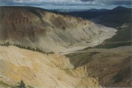
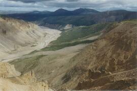
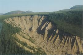
Inlin Brook panorama (3)
Inlin Brook upper section
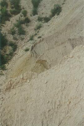
Site N04-03 partial exposure (1)
Inlin Brook panorama (4)
Site N04-04 overview (2)
Site N04-02 (3)
Site N04-02 (5)
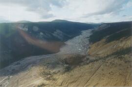
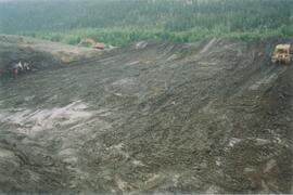
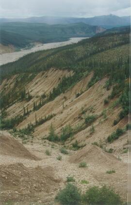
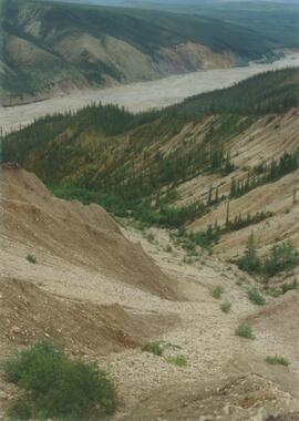
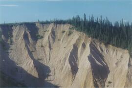
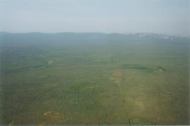
Aerial view of Inlin Brook landslide
Tulita-Inlin Brook flight, 8 August 2004
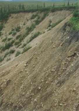
Inlin Brook - top of section (7)
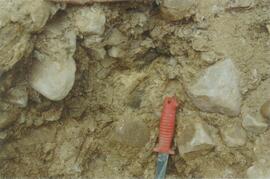
Site N04-03 (7)
Site N04-03 (9)
Site N04-03 (10)
Site N04-04 (5)
Mackenzie River
Red Ochre River (1)
Site N04-05 Red Ochre River (8)
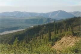
Mackenzie Valley - Franklin Mountains (6)

Norman Range (2)
Norman Range (4)
Norman Range (6)
Paul Sanborn holding Owen Hughes' shovel
Paul Sanborn holding Owen Hughes' shovel
Site N04-06 (2)
Site N04-06 (2)
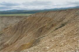
Scablands near Brackett Lake (1)
Scablands near Brackett Lake (1)
Scablands near Brackett Lake (8)
Scablands near Brackett Lake (8)
Site N04-08 (1)
Site N04-08 (1)
Scablands near Brackett Lake (10)
Scablands near Brackett Lake (10)
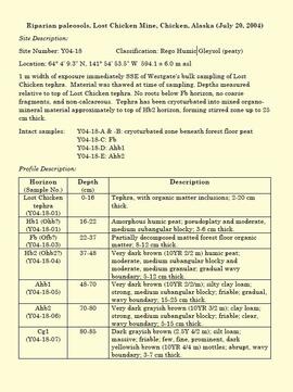
"Riparian paleosols, Lost Chicken Mine, Chicken, Alaska (July 20, 2004)"
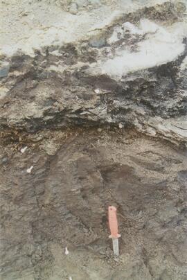
Site Y04-18 at Lost Chicken Mine (11)
Tarnocai and Smith Yukon Paleosol Study (1983) soil description forms
Tarnocai and Smith Yukon Paleosol Study (1983) soil description forms
Air photographs of Fort Selkirk volcanic field, Yukon
Air photographs of Fort Selkirk volcanic field, Yukon

Fort Selkirk volcanic field soil reconnaissance data

Early Pleistocene basalt cliffs on the north side of the Yukon River

Wilderness trombone at Camp 1

Camp 1, facing southwest

Mouth of Black Creek

Camp 2 at the mouth of Black Creek