Mostrando 1164 resultados
Archival description
Dr. Joselito Arocena fonds
UNBC employment
UNBC employment
Promotion package
Promotion package
"Ecosystem and Community Health of the Nat'oot'en First Nation - Co-Management Alternatives for the Babine Lake Watershed"
"Ecosystem and Community Health of the Nat'oot'en First Nation - Co-Management Alternatives for the Babine Lake Watershed"
"Blueberry Nation Health Study"
"Blueberry Nation Health Study"
"An Integrated Approach to Reservoir Management: The Williston Reservoir Case Study"
"An Integrated Approach to Reservoir Management: The Williston Reservoir Case Study"
Dust study of Williston Lake area
Dust study of Williston Lake area
Williston Lake study field notes
Williston Lake study field notes
FSTY 205 in 1995
FSTY 205 in 1995
University Way
University Way
University Way, lab photos, and a tour of a paper mill
University Way, lab photos, and a tour of a paper mill
UNBC event and Prince George Forest Region LTSPS
UNBC event and Prince George Forest Region LTSPS
Totuk Lake and McBride
Totuk Lake and McBride
Bear Lake, McGregor Model Forest, Purden Lake
Bear Lake, McGregor Model Forest, Purden Lake
FSTY 205 in September 1998
FSTY 205 in September 1998
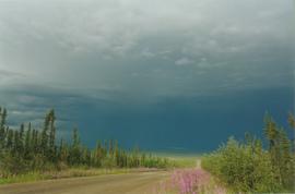
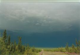
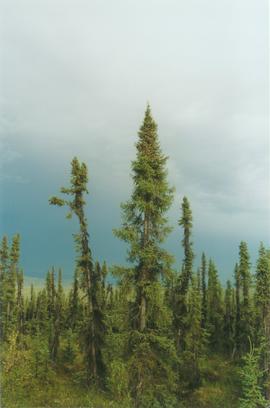
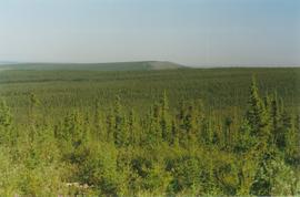
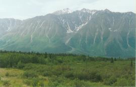
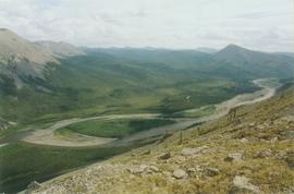
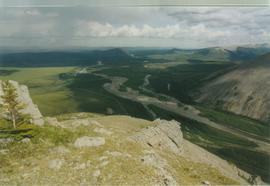
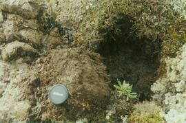
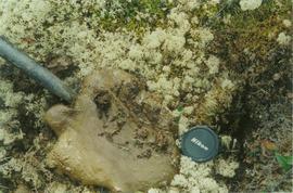
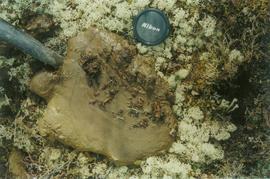
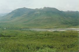
Yukon 2002 pictures by Paul Sanborn
Yukon 2002 pictures by Paul Sanborn
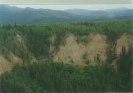
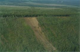
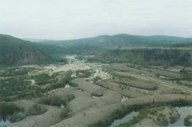
15 Mile R site aerial view - 06
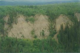
15 Mile R site aerial view - 07
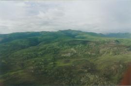
Aerial views (E 15 Mile to Rock Ck) - 04
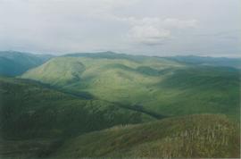
Aerial views (E 15 Mile to Rock Ck) - 08
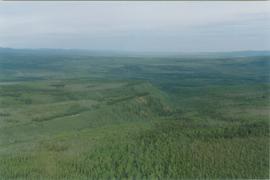
Aerial views (E 15 Mile to Rock Ck) - 13
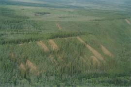
Aerial views (E 15 Mile to Rock Ck) - 15
Aerial views (E 15 Mile to Rock Ck) - 18
Aerial views (Rock Ck to Dawson) - 08
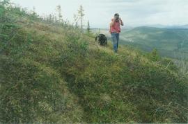
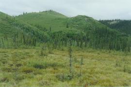
Alder clumps, limestone ridge, N Ogilvie Mts. - 01
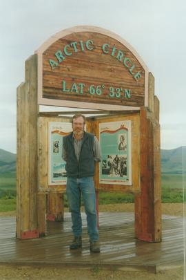
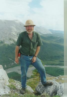
Paul Sanborn at the Arctic Circle, Dempster Hwy
Blackstone R, km 116 Dempster Hwy - 03
Bonanza Ck from Midnight Dome
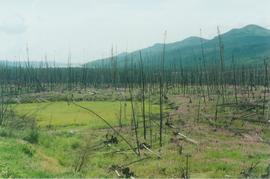
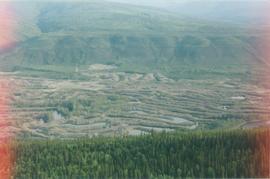
Burn N of Fox L - 01
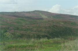
Burn N of Fox L - 08
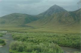
Chapman L, km 116 Dempster Hwy
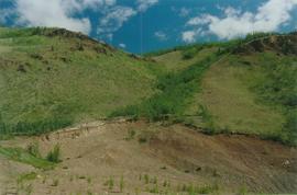
Colluvial fan with WR ash
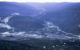
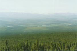
Dawson aerial view - 01
Eagle Plains landscape, Dempster Hwy - 03
Eagle Plains landscape, Dempster Hwy - 05
Eagle Plains landscape, Dempster Hwy - 07
Eagle Plains, Dempster Hwy km 365 - 01
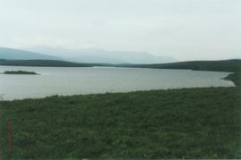
Kluane - 03
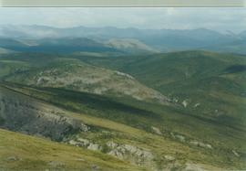
Limestone ridge, N Ogilvie Mts - 02
Limestone ridge, N Ogilvie Mts - 04
Limestone ridge, N Ogilvie Mts - 12
Limestone ridge, N Ogilvie Mts - 13
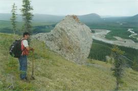
Limestone tors, N Ogilvie Mts, Dempster Hwy - 06
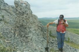
Limestone tors, N Ogilvie Mts, Dempster Hwy - 08
N Fork Pass, Dempster Hwy km 78 - 06
N Fork Pass, Dempster Hwy km 78 - 07
N Fork Pass, Dempster Hwy km 78 - 08
N Klondike R valley, Dempster Hwy - 02
Ogilvie Ridge, Dempster Hwy - 01
Red Creek soils & landscapes, km 168 Dempster Hwy - 02