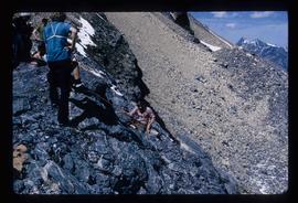
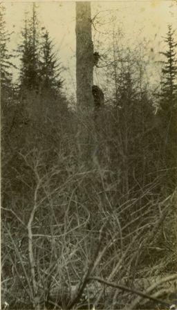
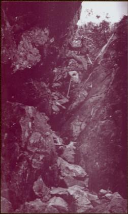
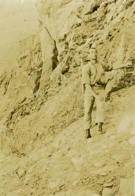
Image depicts a climbing either up or down a rock face.
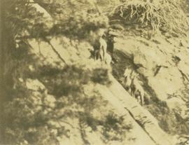
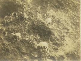
Photograph depicts a lone mountain goat climbing up a rocky, striated slope.
Location identified as upper Torrens Creek basin.
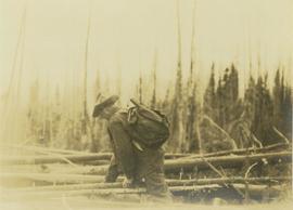
Photograph depicts Prentiss Gray climbing over fallen logs in an area of windfall.
Photograph depicts two unidentified men climbing down crevice in rocks.
Image is one of 65 photos documenting a survey of the Canada-Alaska Boundary, Taku River area, May 23 to Oct. 15, 1906.
This particular photo is one of 8 found in original enclosure with the following handwritten annotation: "From main camp up Kopoka River. Scenes with persons in." See also items 2006.20.3.14 - 2006.20.3.21.
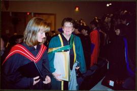
Photograph depicts Moran holding framed certificate while walking up stairs in crowded Canfor Theatre at the University of Northern British Columbia in Prince George, B.C. Moran walks with Dr. Mary Ellen Kelm, both wearing regalia. Accompanying note from Maureen Faulkner: "Pride & relief. R [Roseanne Moran] is yelling 'Mom, Mom, We're here!'" Photo taken on the day Moran received an Honourary Law Degree.
Caption: The actors aren't poseing.
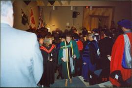
Photograph depicts Moran holding framed certificate while walking up stairs in crowded Canfor Theatre at the University of Northern British Columbia in Prince George, B.C. Moran walks with unidentified woman, both wearing regalia. Accompanying note from Maureen Faulkner: "Up the Stairs you march. This is a very emotional time for all of us!." Photo taken on the day Moran received an Honourary Law Degree.
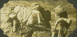
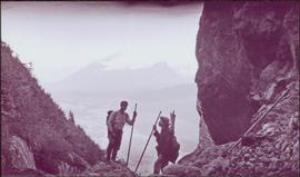
Photograph depicts two men standing on mountain with walking sticks, carrying bundles on their backs. Valley and mountains visible in background below. Handwritten annotation visible on negative: "[?] Climbing [?] Sta - K. River" (Kopoka?).
Image is one of 65 photos documenting a survey of the Canada-Alaska Boundary, Taku River area, May 23 to Oct. 15, 1906. This particular photo is one of 7 found in original enclosure with the following handwritten annotation: "Around River Taku and main camp on same." See also items 2006.20.3.35 - 2006.20.3.41.
Location identified as upper Torrens Creek basin.
Location identified as upper Torrens Creek basin.
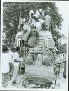
Item is a photograph of people climbing on top of a bus.
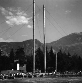
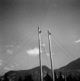
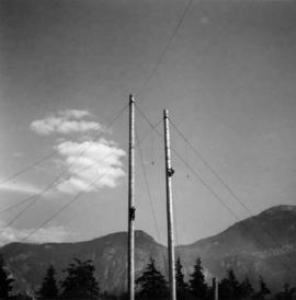
Photograph depicts pole climbing in logger sports probably at Squamish, B.C.
Photograph depicts pole climbing in logger sports probably at Squamish, B.C.
Item is a photograph of J.R.M., with a packsack on his back, mountain climbing.
Photograph depicts pole climbing in logger sports probably at Squamish, B.C.
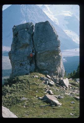
Image depicts an unknown individual climbing the side of a large boulder.
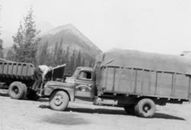
Photograph depicts a tarp-covered truck, man climbing on front. Dump truck and mountain in background.
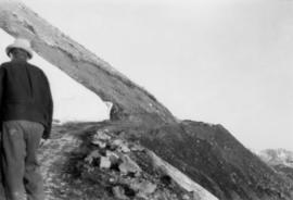
Photograph depicts man in hat climbing mountain road. White area on left of road, steep drop on right.
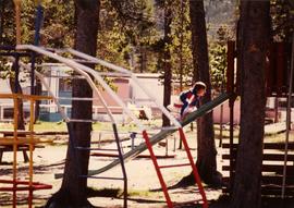
Photograph depicts unidentified child climbing front of slide in playground. Monkey bars in foreground, mobile homes in background. Trees visible throughout.
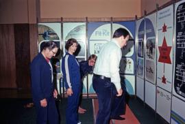
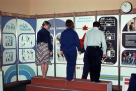
Photograph depicts Iona Campagnolo practicing a stair climbing exercise at a Recreation Canada event in Kitimat, B.C. The photograph was taken while on Iona Campagnolo's Skeena riding tour.
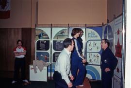
Photograph depicts Iona Campagnolo watching an unknown man demonstrate a stair climbing exercise at a Recreation Canada event in Kitimat, B.C. The photograph was taken while on Iona Campagnolo's Skeena riding tour.
Photograph depicts a rear view of Iona Campagnolo with an unknown man and woman practicing a stair climbing exercise at a Recreation Canada event in Kitimat, B.C. The photograph was taken while on Iona Campagnolo's Skeena riding tour.
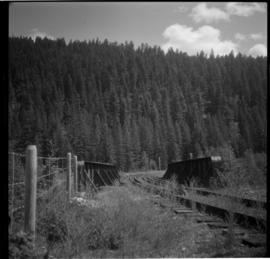
Photograph depicts bridge #504 crossing Wilkinson Creek at the top end of the Sawyer loop. This is at about mile 50.75 on the CPR line in the Carmi Subdivision. The elevation here is 2973 ft. and the line is climbing at an even ascent. The view is looking northeast.
Item is a photograph of a copy print that has been reproduced as a slide, resulting in low photographic quality. Location of original photograph unknown.
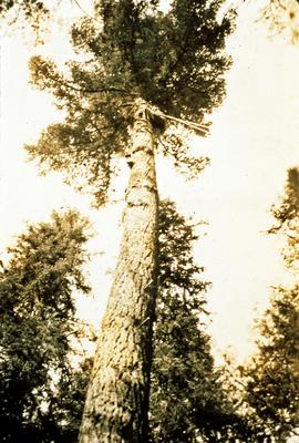
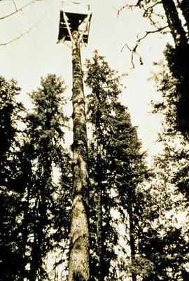
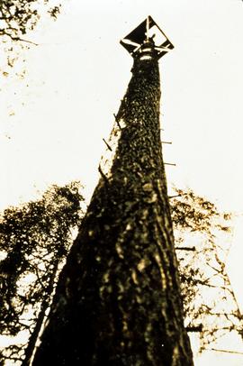
"A large Douglas-fir veteran on the ridge above the camp towered above the Spruce-Balsam forest. A decision was made to convert it into a forest fire lookout. This photo shows a climber going up to top it"." --from the notes of Ralph Schmidt
Item is a photograph of a copy print that has been reproduced as a slide, resulting in low photographic quality. Location of original photograph unknown.
"A large Douglas-fir veteran on the ridge above the camp towered above the Spruce-Balsam forest. A decision was made to convert it into a forest fire lookout. This photo shows a climber going up to top it. After the top was removed, a platform was built. Large spikes were used to provide steps." --from the notes of Ralph Schmidt in accompanying file
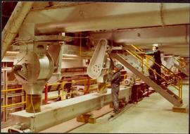
Photograph depicts part of the vacuum dust control and removal system in the Cassiar mill building. Unidentified man can be seen at rotary air-lock, in which heavy blown dust would collect before dropping to plenum conveyor resting just above floor. From here, the dust would eventually be expelled at the tailings pile outside of the mill. Second unidentified man can be seen climbing steps in background. This section of the mill was located above the lab.
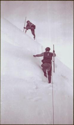
Photograph depicts two men climbing up snowy area with walking poles and other gear. Handwritten annotation visible on negative: "Nellis & Gilroy Snow [?] - No.3."
Image is one of 65 photos documenting a survey of the Canada-Alaska Boundary, Taku River area, May 23 to Oct. 15, 1906.
This particular photo is one of 13 found in original enclosure with the following handwritten annotation: "SOME OTHERS." See also items 2006.20.3.22 - 2006.20.3.33.
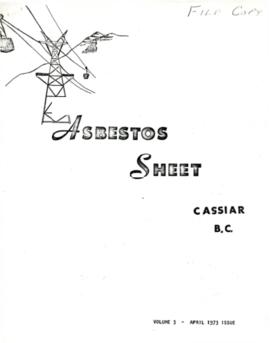
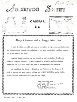
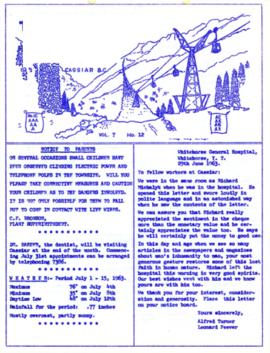
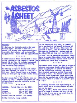
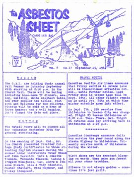
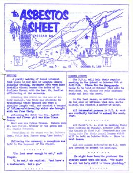
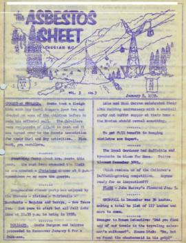
"The Asbestos Sheet" is a newspaper that documents the community and work life of the residents of Cassiar BC. Content includes text and photographs, as well as jokes, comics, and games.
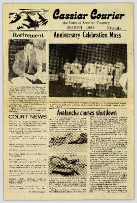
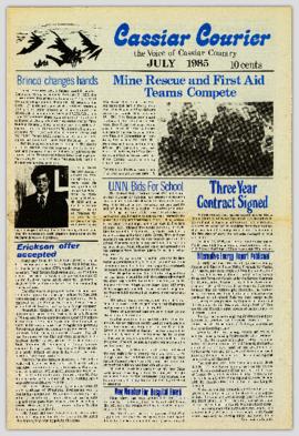
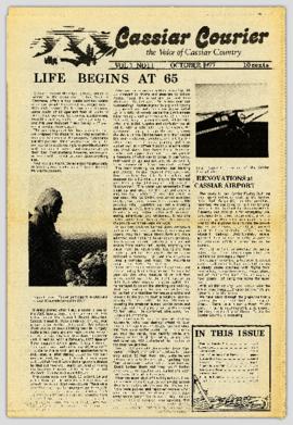
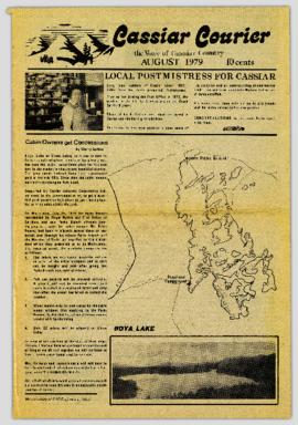
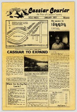
"The Cassiar Courier" is a newspaper that documents the community and work life of the residents of Cassiar BC. Content includes text and photographs, as well as jokes, comics, and games.
"The Cassiar Courier" is a newspaper that documents the community and work life of the residents of Cassiar BC. Content includes text and photographs, as well as jokes, comics, and games.
"The Asbestos Sheet" is a newspaper that documents the community and work life of the residents of Cassiar BC. Content includes text and photographs, as well as jokes, comics, and games.
"The Cassiar Courier" is a newspaper that documents the community and work life of the residents of Cassiar BC. Content includes text and photographs, as well as jokes, comics, and games.
Item is a photocopy reproduction of part 6 of "Collecting Plants Beyond the Frontier in Northern British Columbia" by Mary Gibson Henry. The article is a photocopy of a reprint from the 1935 issue of the National Horticultural Magazine.
Item is a photocopy reproduction of part 4 of "Collecting Plants Beyond the Frontier in Northern British Columbia" by Mary Gibson Henry. The article is a photocopy of a reprint from the 1934 issue of the National Horticultural Magazine.
File consists of a transcript of an oral history interview with Glen Stanley.
"The Asbestos Sheet" is a newspaper that documents the community and work life of the residents of Cassiar BC. Content includes text and photographs, as well as jokes, comics, and games.
"The Asbestos Sheet" is a newspaper that documents the community and work life of the residents of Cassiar BC. Content includes text and photographs, as well as jokes, comics, and games.
"The Asbestos Sheet" is a newspaper that documents the community and work life of the residents of Cassiar BC. Content includes text and photographs, as well as jokes, comics, and games.
"The Cassiar Courier" is a newspaper that documents the community and work life of the residents of Cassiar BC. Content includes text and photographs, as well as jokes, comics, and games.
"The Asbestos Sheet" is a newspaper that documents the community and work life of the residents of Cassiar BC. Content includes text and photographs, as well as jokes, comics, and games.
Item is a photocopy reproduction of part 5 of "Collecting Plants Beyond the Frontier in Northern British Columbia" by Mary Gibson Henry. The article is a photocopy of a reprint from the 1935 issue of the National Horticultural Magazine.
File consists of the following articles and speeches written by Knox McCusker:
- "Reminiscences of Knox McCusker" (63 typewritten pages)
- "Back and Beyond the Peace" by K.McCusker (taken from the Toronto Star Weekly Saturday May 5, 1928) – retyped
- "The Alaska Highway" by Knox F. McCusker, D.L.S. (The Canadian Surveyor, July 1943)-photocopy
- Mr. McCusker's speech (5 pages)
- “Tropical Valleys of B.C.” (4 pages)
- "The president has called me an old old surveyor…" speech written by K. McCusker
- "In the early days of my career in the Surveying profession…" written by K. McCusker
"The Asbestos Sheet" is a newspaper that documents the community and work life of the residents of Cassiar BC. Content includes text and photographs, as well as jokes, comics, and games.
File consists of a transcript of an oral history interview with Tony Broslaw.
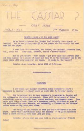
On March 7, 1956 the Cassiar Reporters Guild published one issue of an untitled newspaper simply titled "The Cassiar '?'" (vol.1, no.1) along with a "name that newspaper" contest call out to the local community. It is believed that no other issue of this first volume was published until December 7, 1957 when The Asbestos Sheet (vol.2, no.1) was published. The Asbestos Sheet, was generally published twice a month and ran from December 1957 to September 1976; after which time both its name and its format changed: the 8-1/2 x 10" news bulletin changing to an 11 x 17" newspaper; and The Asbestos Sheet becoming the Cassiar Courier. The Courier was published monthly from fall 1976 until February 1991 when it stopped circulation shortly before the closure of both the mine and the company town.
File consists of a speech given by Gary Runka entitled "Managing Conservation Lands to keep Nature's Pulse Beating" for the BC Trust for Public Lands.
Commentary on this speech by Barry Smith of the Ministry of Agriculture and Lands:
"GGR's was the opening address at the workshop. While this speech is focused on the issue of Best Management Practices (BMP), comments about the ALR are woven into the presentation. This copy of the speech appears to be a draft version and includes several hand-written amendments with some points crossed out.
In the opening, mention is made of the grounding that the 2008 document "Taking Nature's Pulse: the Status of Biodiversity in British Columbia" has provided the workshop.
This speech provides an historical overview of the broader provincial context of BMP's drawn from 40 years of GGR's experience. The following is a selection of his comments:
- BMP's are part of the "tool kit" of policy and management mechanisms that have been experimented with over the decades to try to rationalize human economic activities with the needs of other species and overall ecosystem well-being.
- Historically the 1960s and 70s Canada Land Inventory program that emerged from the Resources for Tomorrow conferences was a significant benchmark mapping land capability for agriculture, forestry, recreation, wildlife and waterfowl use (of which GGR was centrally involved).
- Within BC, using the CLI, the 1973 Land Commission Act authorized the establishment of a provincial zone to protect those sacred lands with the biophysical capability to grow food.
One point was not used in the speech (crossed out). The speaking notes, however, include a reference to the Land Commission legislation originally having a complimentary conservation objective that had since been removed. GGR makes the point that still having the conservation function may have contributed positively to current struggles to preserve natural habitat. Regardless, it is noted that the concept of the ALR has been a unique, effective and, most importantly a lasting management practices tool for conserving lands identified as biophysically significant.
A further selection of points made:
- We need to evolve BMP tools that are adaptable yet resilient in the face of changing knowledge, climate change and ever-evolving social priorities.
- Traditionally, planning has been most associated with local governments in the form of official community, regional and neighbourhood plans and as an outgrowth of the ALR - Agricultural Area Plans.
- Environment Farm Planning - by agreeing to engage in the conservation planning process, participating farmers and ranchers have qualified for funding to carry out farm improvements benefitting conservation and biodiversity.
- The work of the Delta Farmland and Wildlife Trust is outlined (p. 8)
- "My final words of wisdom are - Be focused and be pragmatic"
- "Many of the best intentions to standardize land management practices for conservation lands have been great on paper - but never quite make it on the ground."
- And, if BMP are not implemented effectively on the ground, they cannot play the critical role they need to play in 'keeping nature's pulse beating'."
"The Cassiar Courier" is a newspaper that documents the community and work life of the residents of Cassiar BC. Content includes text and photographs, as well as jokes, comics, and games.
