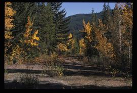
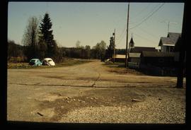
Image depicts an old road through the trees near Yellowhead Pass. The slide labels it as the origin of the Yellowhead highway.
File contains slides depicting places along the east line of the BC Railway.
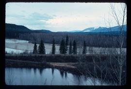
Image depicts the railway running near Crescent Spur in the Rocky Mountain Trench.
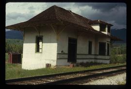
Image depicts the CN Railway and Station at Goat River, B.C.
Image depicts the CN Station in Dome Creek, B.C.
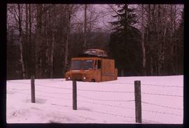
Image depicts a strangely shaped orange vehicle somewhere in Dome Creek, B.C.
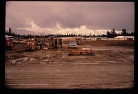
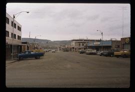
Image depicts several eighteen wheelers at the Pass Lake Road and Upper Fraser Road intersection with numerous houses and buildings in the background in McGregor, B.C. Map coordinates 54°04'38.1"N 121°50'00.1"W
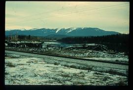
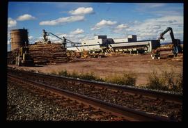
Image depicts a pile of old logs on the bank of the Fraser River with mountains in the background. In the foreground, a set of railway tracks run through an uncertain location, likely Upper Fraser, B.C.
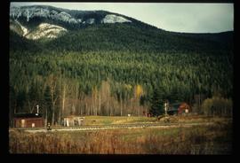
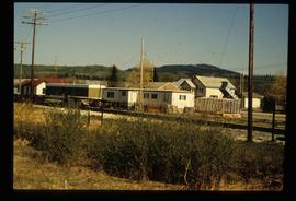
Image depicts several old shacks and some railway tracks running through Longworth, B.C.
Image depicts the entrance to the Upper Fraser mill yard in Upper Fraser, B.C. Map coordinates 54°07'10.8"N 121°56'51.7"W
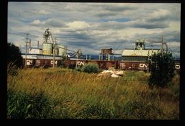
Image depicts the Upper Fraser mill yard with a CN train in Upper Fraser, B.C. Map coordinates 54°07'10.8"N 121°56'51.7"W
Image depicts the Giscome railway station and buildings remaining in townsite in Giscome, B.C. Map coordinates 54°04'18.0"N 122°22'04.7"W
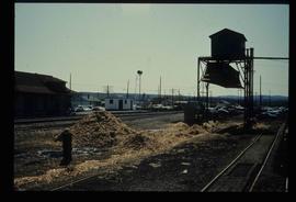
Image depicts the Giscome mill site in Giscome, B.C. The railroad tracks are in the foreground. Map coordinates 54°04'17.6"N 122°22'06.1"W
Image depicts a street in Giscome. The store was previously located on the left. The church is in the background. Map coordinates 54°04'18.5"N 122°21'57.7"W
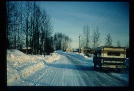
Image depicts a snow-covered road at an uncertain location.
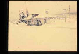
Image depicts the old CN station in Giscome, B.C. Map coordinates 54°04'20.7"N 122°22'01.1"W
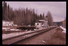
Image depicts what is possibly the CN Railway Station and tracks located in Giscome, B.C.
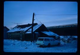
Image depicts a vehicle parked beside a small, wooden house in Upper Fraser, B.C. Map coordinates 54°07'05.7"N 121°56'38.9"W
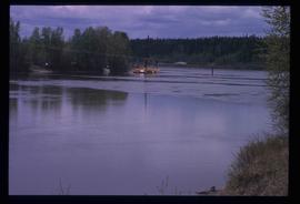
Image depicts what appears to be a ferry crossing a river at an uncertain location.
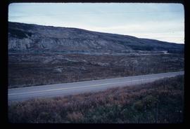
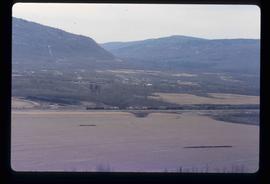
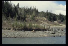
Image depicts what is possibly the Peace River running parallel to a road, possibly Highway 29.
Image depicts Mile "0" of the Alaskan Highway in Dawson Creek, B.C.
Image depicts a view of a train passing through an area of Chetwynd, B.C.
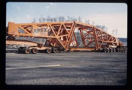
Image depicts a turbine on a large industrial vehicle somewhere in or near Fort St. John, B.C.
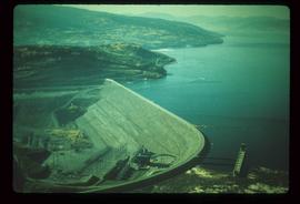
Image depicts the W.A.C. Bennett Dam on the Peace River in Hudson's Hope, B.C.
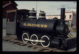
Image depicts the Duchess engine, which was built in 1878 and taken out of service in 1919. It was part of a matched set with the Duke and is now a tourist attraction in Carcross, Y.T.
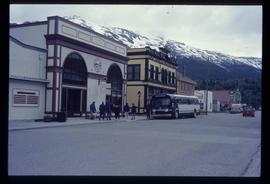
Image depicts the bus depot in Skagway, Alaska (USA).
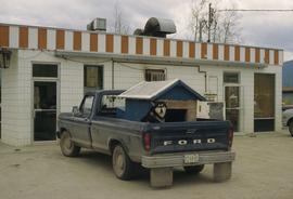
Image depicts a dog and dog house in the back of a pick-up somewhere near Prince George, B.C.
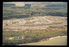
Image depicts an aerial view of the BC Rail, in Prince George, B.C. It is now known as CN Rail.
Image depicts the Cariboo Road south of Williams Lake.
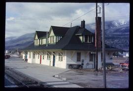
Image depicts the McBride CNR station.
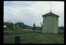
Image depicts a train track and several buildings in an unknown location.
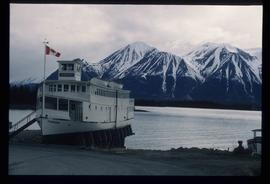
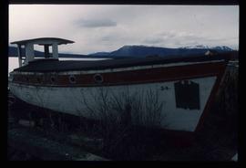
Image depicts a boat named "the Tarahne," which is located in Atlin, B.C. Atlin Lake and Mountain are visible in the background.
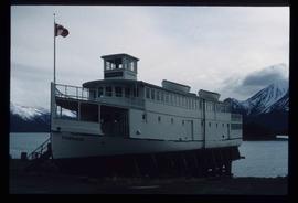
Image depicts a boat named "the Tarahne," which is located in Atlin, B.C. Atlin Lake and Mountain are visible in the background.
Image depicts an old boat on the shore of Atlin Lake.
Image depicts a small section of the Alaska Highway somewhere near Whitehorse, Y.T. The slide also appears to be labelled "army washing" for unknown reasons.
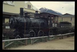
Image depicts the original steam engine for the White Pass Train, located in Skagway, Alaska.
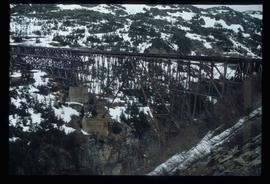
Image depicts an old trestle along the White Pass railway.
File contains slides depicting places along Route 80 in the USA.
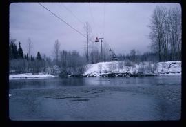
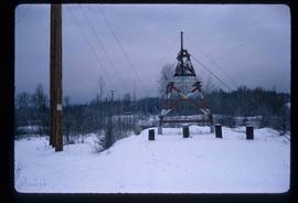
Image depicts the cableway, stretching over a river, in Willow River, B.C.
Image depicts the cableway in Willow River, B.C.
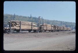
Image depicts a train carrying logs somewhere in Prince George, B.c.
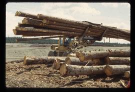
Image depicts a tractor with a claw lifting logs at a saw mill in Prince George, B.C.
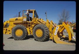
Image depicts an unidentified individual examining a piece of heavy machinery used in the forestry industry. It is located in Prince George, B.C.
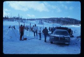
Image depicts a vehicle and a large group of skiers somewhere on Tabor Mountain in Prince George, B.C.
Photograph depicts a wooden building presumably at the Fort St. James historic site. The photograph is close up to the building, depicting an open door and the wooden panels along the building.
Photograph depicts a section of railway trackage with a pile of locks stacked beside the rail line, presumed to be located within or nearby Sinclair Mills, BC.
Photograph depicts the Sinclair Mills community hall, it includes a sign in front of the building reading "Welcome to Sinclair Mills, Community Hall".
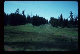
Photograph depicts an open field and a dirt road surrounded by trees in an unknown location.
Photograph depicting a campground with log cabins and an open field surrounded by trees, presumably in Quesnelle Forks.
File consists of notes, clippings, and reproductions relating to the original Pacific Great Eastern Railway line. Also includes photographs depicting various dirt roads (2001-2010).
