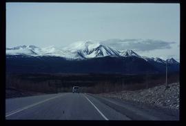
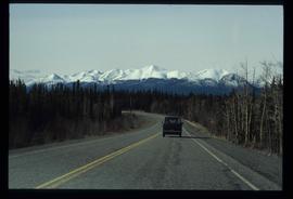
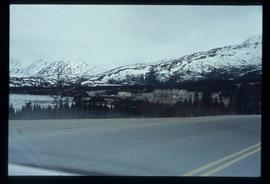
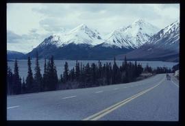
Image depicts a van on a highway with mountains in the distance; the location is uncertain, though it is possibly along the Alaska Highway.
Image depicts a van on a highway with mountains in the distance; the location is uncertain, though it is possibly along the Alaska Highway.
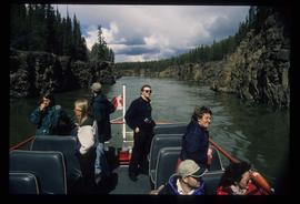
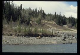
Image depicts several unidentified individuals on a boat in the Miles Canyon near Whitehorse Y.T.
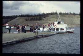
Image depicts numerous unidentified individuals getting off a boat which bears the name "Schwatka." It is located somewhere in Miles Canyon.
Image depicts a small section of the Alaska Highway somewhere near Whitehorse, Y.T. The slide also appears to be labelled "army washing" for unknown reasons.
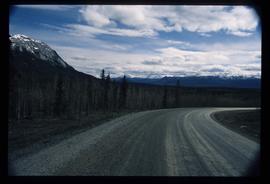
Image depicts what is possibly Atlin Road. Numerous mountains are visible in the distance.
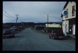
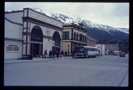
Image depicts numerous old buildings on a main street in Atlin, B.C.
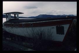
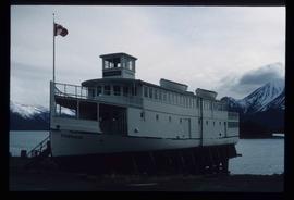
Image depicts an old boat on the shore of Atlin Lake.
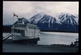
Image depicts a boat named "the Tarahne," which is located in Atlin, B.C. Atlin Lake and Mountain are visible in the background.
Image depicts a boat named "the Tarahne," which is located in Atlin, B.C. Atlin Lake and Mountain are visible in the background.
Image depicts the bus depot in Skagway, Alaska (USA).
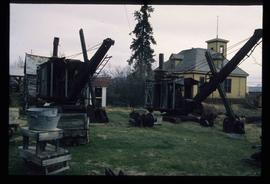
Image depicts old machinery, at the Atlin Museum in Atlin, B.C.
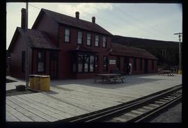
Image depicts the train station in Carcross, Y.T.
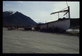
Image depicts half of a ship, which is named the Tutshi, in Carcross, Y.T.
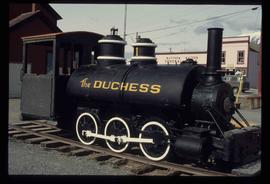
Image depicts the Duchess engine, which was built in 1878 and taken out of service in 1919. It was part of a matched set with the Duke and is now a tourist attraction in Carcross, Y.T.
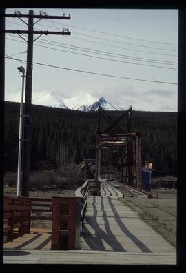
Image depicts a railway bridge, possibly in the small town of Fraser, located on the Klondike Highway in B.C.
Image depicts the small town of Fraser, B.C. Located on the Klondike Highway.
Image depicts the road to Skagway, Alaska. Possibly located on the Klondike Highway in British Columbia with Tutshi Lake on the left.
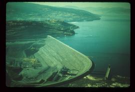
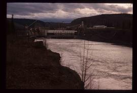
Image depicts the W.A.C. Bennett Dam on the Peace River in Hudson's Hope, B.C.
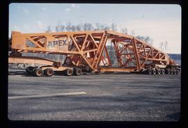
Image depicts a turbine on a large industrial vehicle somewhere in or near Fort St. John, B.C.
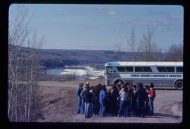
Image depicts a group of individuals and a bus with words that read: "Prince George Limousine & Charter." The river in the background is possibly the Peace River, and the location is possibly somewhere near Fort St. John, B.C.
Image depicts a view of a train passing through an area of Chetwynd, B.C.
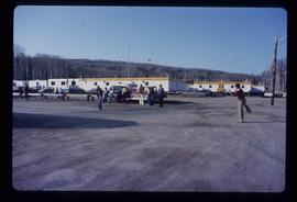
Image depicts a group of people throwing a frisbee in a parking lot at an uncertain location, likely in the Peace River Region.
Image depicts Mile "0" of the Alaskan Highway in Dawson Creek, B.C.
Image depicts a set of railway tracks, and a building with a sign which reads: "Telegraphs." The location is uncertain, but possibly in the Peace River Region.
Image depicts the W.A.C. Bennett Dam on the Peace River in Hudson's Hope, B.C.
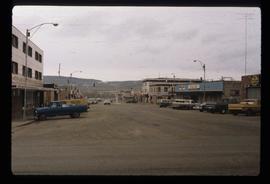
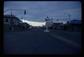
Image depicts a street of businesses and Mile "0" of the Alaskan Highway in Dawson Creek, B.C.
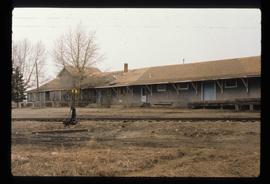
Image depicts a set of railway tracks and a long building located somewhere in the Peace River Region.
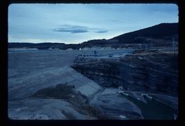
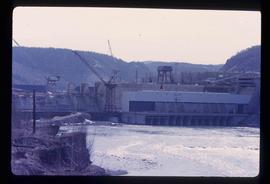
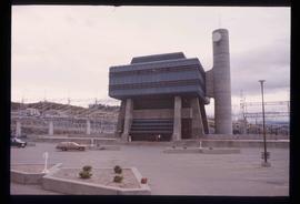
Image depicts the Peace Canyon Dam and generating station under construction on the Peace River.
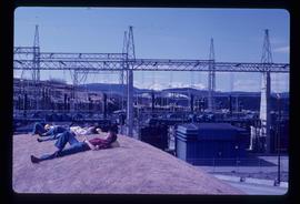
Image depicts several unidentified individuals lying on a hill outside what is most likely the W.A.C. Bennett Dam in Hudson's Hope, B.C.
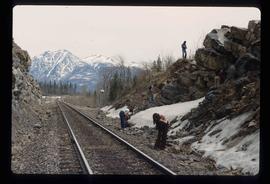
Image depicts a group of individuals who appear to be searching through the rocks near a railway track. It is possibly part of an educational trip.
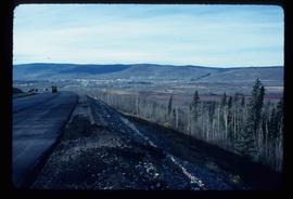
Image depicts a view of Chetwynd, possibly from Highway 97.
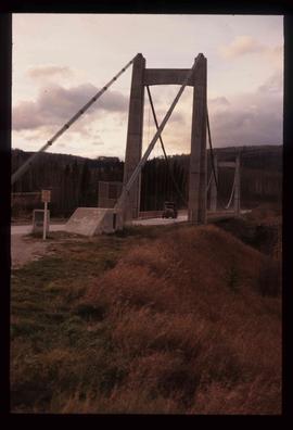
Image depicts a truck on a bridge, possibly crossing over the Peace River.
Image depicts a dam, possibly on the Peace River.
Image depicts the W.A.C. Bennett Dam in Hudson's Hope, B.C.
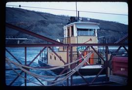
Image depicts the Clayhurst Ferry on the Peace River.
Image depicts the Clayhurst Ferry on the Peace River.
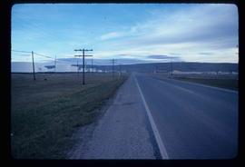
Image depicts a stretch of highway, possibly Highway 29 or 97.
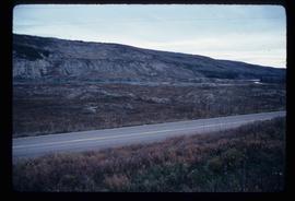
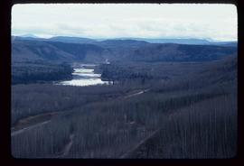
Image depicts what is possibly the Peace River running parallel to a road, possibly Highway 29.
Image depicts a dam on what is possibly the Peace River.
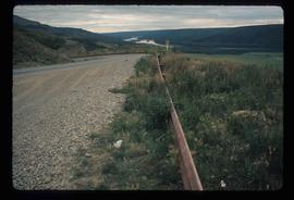
Image depicts a road with a guardrail and open fields somewhere near Dawson Creek, B.C.
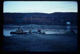
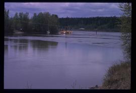
Image depicts what appears to be a ferry crossing a river at an uncertain location.
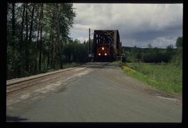
Image depicts a train on the Hansard Bridge across the Fraser River looking west. Map coordinates 54°04'37.7"N 121°50'39.9"W
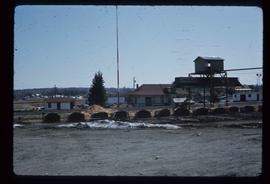
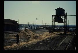
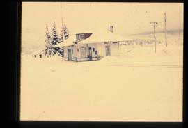
Image depicts the CN Station, with bundles of wood sitting near the tracks, in Giscome, B.C. Map coordinates 54°04'32.3"N 122°21'42.3"W
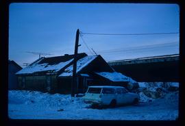
Image depicts a vehicle parked beside a small, wooden house in Upper Fraser, B.C. Map coordinates 54°07'05.7"N 121°56'38.9"W
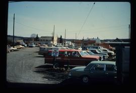
Image depicts a parking lot full of vehicles with the Giscome store in the background. Map coordinates 54°04'18.5"N 122°21'57.7"W
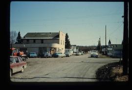
Image depicts a street in Giscome B.C. The Giscome Store is located on the left side of the image with the church in the background. Map coordinates 54°04'18.5"N 122°21'57.7"W
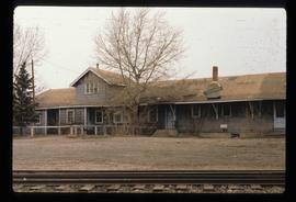
Image depicts what is possibly the CN Railway Station and tracks located in Giscome, B.C.
Image depicts the old CN station in Giscome, B.C. Map coordinates 54°04'20.7"N 122°22'01.1"W
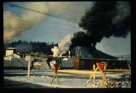
Image depicts several trains at the Giscome mill site in Giscome, B.C. Map coordinates 54°04'19.7"N 122°22'04.7"W
