Print preview Close

Showing 239 results

Archival description
220 results with digital objects Show results with digital objects
Tumbler Ridge
2012.13.2.19.14 · File · 2000-2007
Part of J. Kent Sedgwick fonds

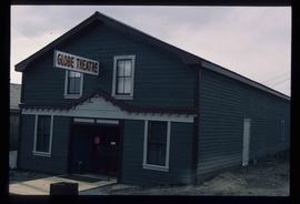
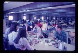
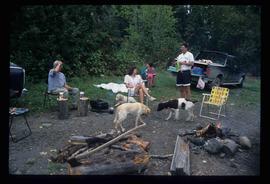
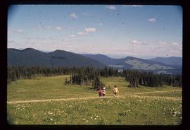
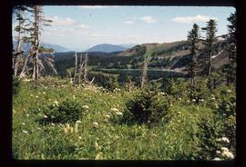
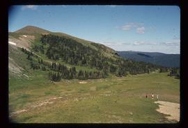
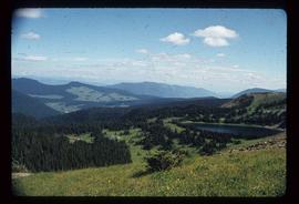
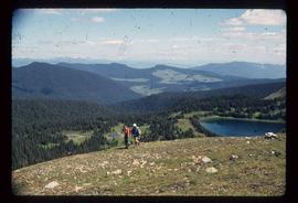
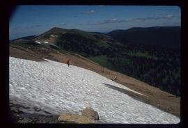
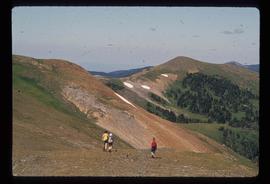
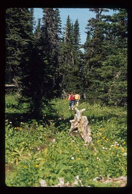
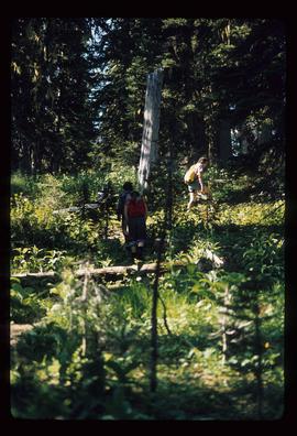
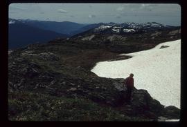
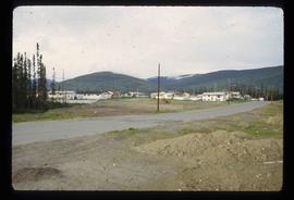
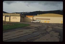
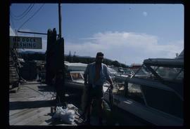
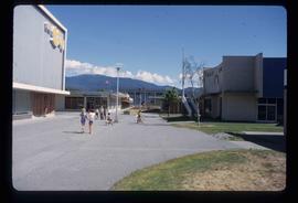
File consists of notes, clippings, and reproductions relating to Tumbler Ridge, BC. Includes: "Tumbler Ridge: Visitor's Guide to Outdoor Trails and Recreation" pamphlet by the District of Tumbler Ridge (2005); and "Writing on the Ridge" pamphlet for a writing retreat in Tumbler Ridge (2000). Also includes personal photographs from Kent Sedgwick depicting Tumbler Ridge (2001).

Mount Sir Alexander
2012.13.2.19.12 · File · 2006-2010
Part of J. Kent Sedgwick fonds

File consists of notes, clippings, and reproductions relating to Mount Sir Alexander, a mountain in the Sir Alexander Area of the Continental Ranges of the BC Canadian Rockies.

Rocky Mountain history
2012.13.2.19.11 · File · 1978-2003
Part of J. Kent Sedgwick fonds

File consists of notes and reproductions relating to history of the Rocky Mountains. Includes: "Cave & Basin Hot Springs" pamphlet prepared by Parks Canada (1985); "Canadian Rockies Heritage" pamphlet by The Whyte Foundation (1985); "The Alpine Club of Canada" pamphlet by the Alpine Club of Canada (1990); and "Snow War: a guide to the history of Rogers Pass" pamphlet by Parks Canada (1978).

2012.13.2.14.26 · File · 2001-2004
Part of J. Kent Sedgwick fonds

File consists of reproductions and pamphlets relating to outdoor recreation in Prince George. Includes material regarding bird watching, fishing, hiking, and regional and provincial parks. Includes: "Prince George Backroads" clipped article from The Angler's Atlas magazine (Sept. 2004); "Bird Viewing around Prince George" pamphlet prepared by the Province of British Columbia Ministry of Environment, Lands and Parks in cooperation with the Prince George Naturalist Club; "Forests for the World" pamphlet prepared by the City of Prince George; and "Regional Parks" pamphlet prepared by the Regional District of Fraser-Fort George.

Miles Canyon - the Schwatka
2012.13.1.98.61 · Item · 1999
Part of J. Kent Sedgwick fonds

Image depicts numerous unidentified individuals getting off a boat which bears the name "Schwatka." It is located somewhere in Miles Canyon.

Large Group Near a Bridge
2012.13.1.91.34 · Item · 1979
Part of J. Kent Sedgwick fonds

Image depicts a large group of people sitting and eating near a bridge at an uncertain location, though possibly near Hudson's Hope, B.C.

Crowded Cafeteria
2012.13.1.91.33 · Item · 1979
Part of J. Kent Sedgwick fonds

Image depicts a crowded cafeteria, most likely somewhere in Hudson's Hope, B.C. The slide is labelled "Camp at H.H."

Willow River - Playground
2012.13.1.89.139 · Item · 1999
Part of J. Kent Sedgwick fonds

Image depicts a playground in Willow River, B.C. The slide labels it as being a "former hotel site." Map coordinates 54°04'23.7"N 122°28'26.9"W

Diving
2012.13.1.84.40 · Item · 1994
Part of J. Kent Sedgwick fonds

Image depicts an unidentified individual diving into a pool of water at an uncertain location.

Fishing
2012.13.1.84.39 · Item · 1994
Part of J. Kent Sedgwick fonds

Image depicts a few unidentified individuals fishing in a river at an uncertain location.

Swimming in a Lake
2012.13.1.84.35 · Item · 1994
Part of J. Kent Sedgwick fonds

Image depicts numerous unknown individuals swimming in a lake or standing on a dock at an uncertain location.

Campsite
2012.13.1.84.34 · Item · 1994
Part of J. Kent Sedgwick fonds

Image depicts Sue Sedgwick seated in a lawn chair near a campfire and several other unidentified individuals, as well as three dogs. The location is uncertain.

Raven Lake Area
2012.13.1.79.24 · Item · Aug. 1977
Part of J. Kent Sedgwick fonds

Image depicts several individuals hiking in the area surrounding Raven Lake; the lake is visible in the background.

To Raven Cabin
2012.13.1.79.12 · Item · Aug. 1977
Part of J. Kent Sedgwick fonds

Image depicts a woman standing in a field, with a sign in a tree behind her pointing the way towards the Raven Cabin.

Campsite
2012.13.1.73.11 · Item · Aug. 1979
Part of J. Kent Sedgwick fonds

Image depicts a man at a campsite somewhere near Murray Ridge.

Nation Lakes
2012.13.1.71.02 · Item · 1979
Part of J. Kent Sedgwick fonds

Image depicts a camper parked on the shore of Nation Lakes, south of Manson Creek, B.C.

Mackenzie Curling Rink
2012.13.1.70.13 · Item · Aug. 1979
Part of J. Kent Sedgwick fonds

Image depicts a small section of Mackenzie, with the Mackenzie Curling Rink visible on the right side of the image.

Exhibition Sports Centre
2012.13.1.7.244 · Item · Mar. 2003
Part of J. Kent Sedgwick fonds

Image depicts the Exhibition Sports Centre, which used to be a drill hall army base, on Keller Street in Prince George, B.C.

Exhibition Sports Centre
2012.13.1.7.234 · Item · Mar. 2003
Part of J. Kent Sedgwick fonds

Image depicts the Exhibition Sports Centre, which used to be a drill hall army base, on Keller Street in Prince George, B.C.

On a Boat
2012.13.1.67.16 · Item · Aug. 1982
Part of J. Kent Sedgwick fonds

Image depicts two men in the cabin of a boat somewhere near Kitimat, B.C.