2004.2.1.32
·
Pièce
·
1898-1920
Fait partie de Reverend R.W. Large fonds
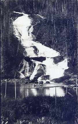
Photograph depicts four men in a boat on a lack with a waterfall in the background running through a forest into the lake. Annotation on verso of photograph states: "The water fall + flume for Brown's sawmill Hoscall River BC"