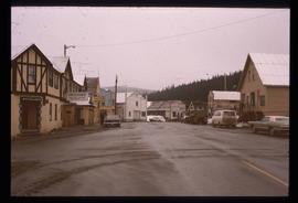
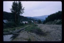
Image depicts a street in Wells, B.C. The Wells Hotel is present in the image.
File contains slides depicting the growth of Prince George.
File contains slides depicting aerial views of Prince George.
Subseries consists of materials collected by Kent Sedgwick for research on the geography and natural resources in Prince George and its region. Includes material on the natural resource industry, including the opening of the McArthur Sawmill, the W. Lamb and Sons Lumber Sawmill, and mining; photocopied aerial photographs of Prince George; the climate, temperatures, and flooding; and the geographical features of Prince George.
This fonds consists of material created and collected by Kent Sedgwick, author, professor, Prince George urban planner, and prominent local historian. This body of records documents Sedgwick’s research interests in the history and geography of the Central Interior of British Columbia. The fonds also reflects his work as a Prince George Senior City Planner, his involvement in local community organizations, and his teaching at the College of New Caledonia and the University of Northern British Columbia.
The fonds includes:
1) Photographs taken by Kent Sedgwick across British Columbia, predominantly in the Central Interior region;
2) Research subject files consisting of original research documentation and collected reference material, predominantly focusing on topics relating to local history, city planning, and geography in the Prince George area and the British Columbia Central Interior;
3) Documentation of Kent Sedgwick’s community involvement, including records created over the course of his work with the Prince George Heritage Commission, , the Alexander Mackenzie Heritage Trail Association, and other local organizations;
4) Writings, publications, and lectures written, edited, or conducted by Kent Sedgwick;
5) Professorial records consisting of lectures and material relating to Sedgwick’s teaching appointments at the College of New Caledonia and the University of Northern British Columbia;
6) Maps collected by Kent Sedgwick covering historical and contemporary British Columbia.
Kent Sedgwick’s research subject files contain original research notes, interviews and oral histories, news clippings, and collected primary and secondary sources. The series also includes both original and reproduction photographs, audio recordings, and maps. The subject files primarily relate to the history, urban planning, and historical geography of the Central Interior of British Columbia, especially Prince George area and the East Line communities over the course of the 20th century. They also include extensive notes on geographic features, landscapes, interpretative trails, architectural history, industrial history, history of Western exploration and land survey, and the First Nations history of the region.
File consists of notes, clippings, and reproductions relating to flooding in Prince George. Includes: "RE: Ice Jams in Nechako River at Prince George" typescript letter from Peter Campbell to Graham Farstad (30 May 1984) and "Floods" typed document by Kent Sedgwick (1 Feb. 1996). Also includes photographs depicting low water and flooding in Prince George (1937 and 2006).
Subseries contains material collected and created by Kent Sedgwick for research on various areas in British Columbia and Alberta. Includes written notes by Kent Sedgwick, pamphlets, and newspaper clippings relating to towns and settlements. These areas include Quesnel, Likely, the Yukon Telegraph Trail, Barkerville, Wells, the Cariboo region, Fort Alexandria, Soda Creek, the Chilcotin region, Jasper, the Rocky Mountains, Mackenzie, Tumbler Ridge, the Peace River region, Fort St. James, the Omineca region, Kitimat, Lethbridge, the Bulkley Valley, and Fort Mcleod. These files cover a variety of topics including Chinese people in British Columbia, land settlement, tourism, and historic information on the regions.
File consists of photographs depicting Kitimat, British Columbia in a bound flip book.
File contains slides depicting a caving group in various places in West Virgina, USA.
File contains slides depicting the Peyto Glacier.
File contains slides depicting vegetation and a few maps.
File contains slides depicting the Ram Glacier.
File contains slides depicting areas in and around the Rockies, Icefield Highway, and Jasper, Alberta.
Image depicts a marker for aerial photography at an uncertain location. The slide labels it as "Elizabeth Station."
File contains slides depicting various places located across Canada.
File contains slides depicting various types of instruments at various locations, including Willow River.
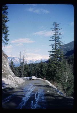
Image depicts a road located somewhere near Birken, B.C.
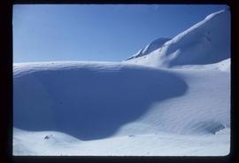
Image depicts the Place Glacier.
Image depicts the Place Glacier.
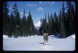
Image depicts an unknown individual at the Place Glacier.
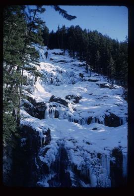
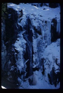
Image depicts the mostly frozen Place Creek Falls.
Image depicts the mostly frozen Place Creek Falls.
File contains slides depicting the Woolsey and Place Glaciers.
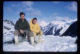
Image depicts two unknown individuals at the Place Glacier.
File contains slides depicting scenery at various locations.
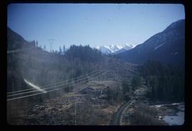
Image depicts some power lines and a forest somewhere near Birken, B.C.
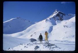
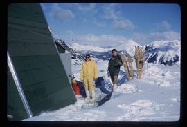
Image depicts the Place Glacier. There are two unknown individuals present.
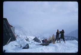
Image depicts two unknown individuals at the Woolsey Glacier.
File consists of notes, reproductions, pamphlets, and postcards relating to the Peyto Glacier, situated in the Canadian Rockies in Banff National Park, Alberta. Includes: "Inland Waters Branch" handwritten letter to Kent Sedgwick (4 Sept. 1970); "Peyto Glacier general information" pamphlet prepared by the Inland Waters Directorate, Water Resources Branch of Environment Canada (1975); and photographs depicting a Peyto Glacier workshop with Kent Sedgwick and colleagues (1996) and personal photographs depicting Kent Sedgwick, his wife, and friends visiting and hiking Peyto Glacier (1990).
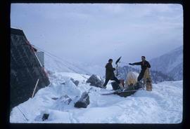
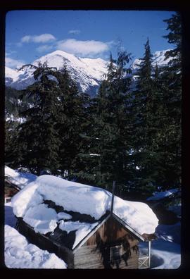
Image depicts a snow-covered cabin and a mountain in the distance. It is located somewhere near Birken, B.C.
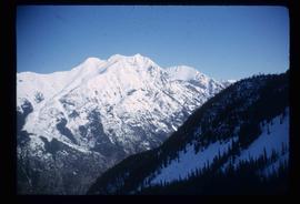
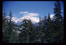
Image depicts a mountain in the distance. It is located somewhere near Birken, B.C.
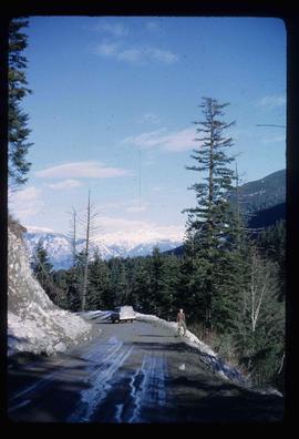
Image depicts a road located somewhere near Birken, B.C.
Image depicts the Place Glacier.
Image depicts the Place Glacier. There are two unknown individuals present.
Image depicts two unknown individuals at the Woolsey Glacier.
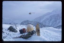
Image depicts a helicopter flying over the Woolsey Glacier.
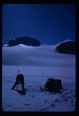
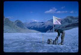
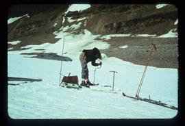
Image depicts an unidentified individual setting up some sort of pole in the snow for a process the slide labels as "snow sounding." The location is uncertain.
File contains slides depicting physical landscape features at various locations, most are from outside Northern B.C.
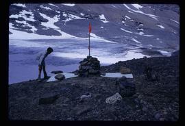
Image depicts an unidentified individual standing next to a marker and a stake at an uncertain location.
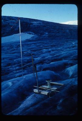
Image depicts objects, including a flag pole, that the slide labels as "survey equipment." The slide also places it as a "Peyto icefall," on the Peyto Galcier in the Banff National Park in Alberta, B.C.
File contains slides depicting numerous recreational locations from various places in Canada.
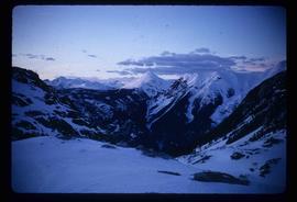
Image depicts a scenic view of a mountain and forest at an uncertain location.
Image depicts a hand-held ice drill.
Image depicts an unidentified individual drilling into the ice.
File contains slides depicting geomorhp diagrams.
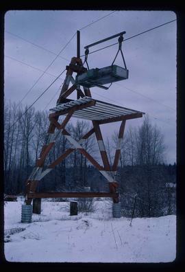
Image depicts the cableway in Willow River, B.C.
Image depicts Barkerville, B.C.
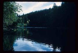
Image depicts the Stellako River.
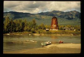
Image depicts several boats on what appears to be a river, and an old beehive burner in Penny, B.C.
