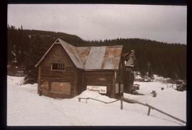
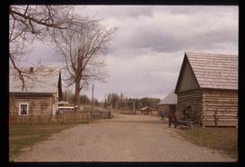
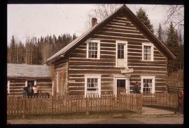
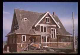
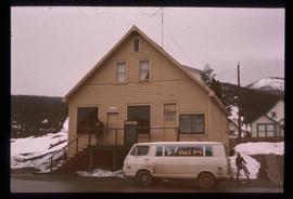
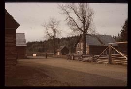
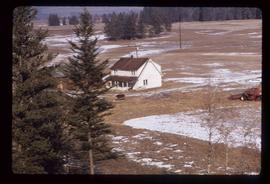
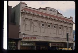
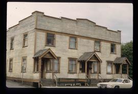
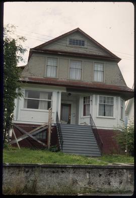
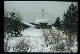
Image depicts the historic Lightening Inn in Stanley, B.C.
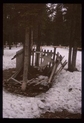
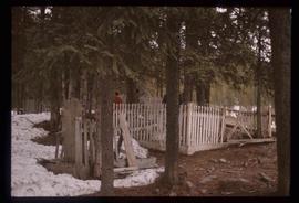
Image depicts an old, rotting grave marker in the Stanley Cemetery.
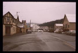
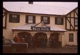
Image depicts a street in Wells, B.C. The Wells Hotel is present in the image.
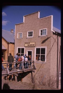
Image depicts the Wells Museum in Wells, B.C.
Image depicts the Cariboo Road passing through the Cottonwood House Historic Site.
Image depicts the Cottonwood House.
Image depicts the Watson Mansion.
Image depicts the post office in Wells, B.C.
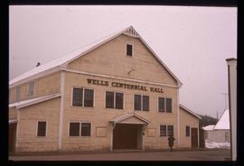
Image depicts the Centennial Hall in Wells, B.C.
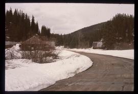
Image depicts the town of Stanley, B.C.
Image depicts the Stanley Cemetery.
Image depicts the Cottonwood House.
Image depicts a crowd of people outside the Wells Hotel in Wells, B.C.
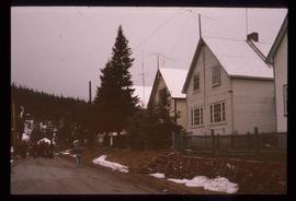
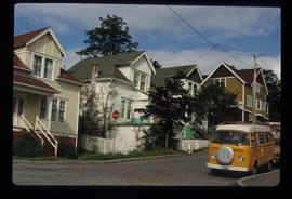
Image depicts a row of houses in Wells, B.C.
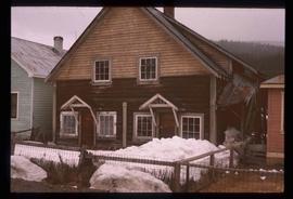
Image depicts a duplex in Wells, B.C.
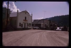
Image depicts a street in Wells, B.C. The Sunset Theatre is located on the left of the image, and the Jack O' Clubs Hotel is the building with the green roof on the right. The hotel burned down on February 14th in 1994.
Image depicts a house at an unknown location. It is possibly an old, Australian styled home.
Image depicts an old theatre owned by Paul Aivazoff in Prince Rupert, B.C. It opened in 1935 and was closed in 1981; it has since been renovated for retail use.
Image depicts a condominium, possibly in Prince Rupert, B.C.
Image depicts a house which is possibly in Prince Rupert, B.C.
Image depicts a row of houses; it is possibly in Prince Rupert, B.C.
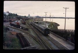
Image depicts the rail yards in Prince Rupert.
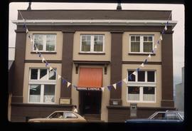
Image depicts an old building with a sign labelling it as a "Dining Lounge," it is possibly in Prince Rupert, B.C.
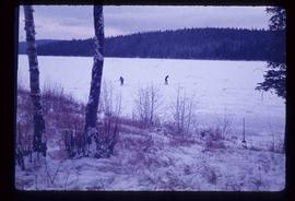
Image depicts Bobtail Lake.
Image depicts Pineview on Buckhorn Lake Road, Prince George, B.C.
Image depicts Pineview on Buckhorn Lake Road, Prince George, B.C.
Image depicts Pineview on Buckhorn Lake Road, Prince George, B.C.
File contains slides depicting the growth of Prince George.
File contains slides depicting aerial views of Prince George.
The item is an album of three photographs depicting the Nechako River flood in January 1937. Annotations on the album state, "Nechako River Flood 1937."
Subseries consists of materials collected by Kent Sedgwick for research on the geography and natural resources in Prince George and its region. Includes material on the natural resource industry, including the opening of the McArthur Sawmill, the W. Lamb and Sons Lumber Sawmill, and mining; photocopied aerial photographs of Prince George; the climate, temperatures, and flooding; and the geographical features of Prince George.
The item is an album of three photographs depicting the Nechako River flood around the CN Railway Yard in January 1937. Annotations on the album state, "Nechako River Flood 1937."
The item is a photograph depicting men clearing railway tracks at the CN Railway Yard during the Nechako River flood in January 1937.
The item is a photograph depicting the CN Railway Yard during the Nechako River flood in January 1937. Annotation on the photograph states, "Water level at depot - Creamery." Annotation on reverse side of photograph states, "1937 Ice Flood."
This fonds consists of material created and collected by Kent Sedgwick, author, professor, Prince George urban planner, and prominent local historian. This body of records documents Sedgwick’s research interests in the history and geography of the Central Interior of British Columbia. The fonds also reflects his work as a Prince George Senior City Planner, his involvement in local community organizations, and his teaching at the College of New Caledonia and the University of Northern British Columbia.
The fonds includes:
1) Photographs taken by Kent Sedgwick across British Columbia, predominantly in the Central Interior region;
2) Research subject files consisting of original research documentation and collected reference material, predominantly focusing on topics relating to local history, city planning, and geography in the Prince George area and the British Columbia Central Interior;
3) Documentation of Kent Sedgwick’s community involvement, including records created over the course of his work with the Prince George Heritage Commission, , the Alexander Mackenzie Heritage Trail Association, and other local organizations;
4) Writings, publications, and lectures written, edited, or conducted by Kent Sedgwick;
5) Professorial records consisting of lectures and material relating to Sedgwick’s teaching appointments at the College of New Caledonia and the University of Northern British Columbia;
6) Maps collected by Kent Sedgwick covering historical and contemporary British Columbia.
The item is an album of three photographs depicting the Nechako River flood around the CN Railway Yard in January 1937. Annotations on the album state, "Nechako River Flood 1937." Attached note states, "collection of A. Vrastak."
The item is a photograph depicting a man on train tracks holding a fish during the Nechako River flood in January 1937. Annotations on reverse side of the photograph state, "Water Receded - Fish on the Tracks."
The item is a photograph depicting the Nechako Bridge during the Nechako River flood in January 1937. Annotation on the photograph states, "Nechako Bridge 1937 Flood."
Kent Sedgwick’s research subject files contain original research notes, interviews and oral histories, news clippings, and collected primary and secondary sources. The series also includes both original and reproduction photographs, audio recordings, and maps. The subject files primarily relate to the history, urban planning, and historical geography of the Central Interior of British Columbia, especially Prince George area and the East Line communities over the course of the 20th century. They also include extensive notes on geographic features, landscapes, interpretative trails, architectural history, industrial history, history of Western exploration and land survey, and the First Nations history of the region.
File consists of notes, clippings, and reproductions relating to flooding in Prince George. Includes: "RE: Ice Jams in Nechako River at Prince George" typescript letter from Peter Campbell to Graham Farstad (30 May 1984) and "Floods" typed document by Kent Sedgwick (1 Feb. 1996). Also includes photographs depicting low water and flooding in Prince George (1937 and 2006).
The item is a photograph depicting the CN Railway Yard during the Nechako River flood in January 1937.
The item is a photograph depicting men clearing railway tracks at the CN Railway Yard during the Nechako River flood in January 1937.
The item is a photograph depicting a train along the river during the Nechako River flood in January 1937. Annotation on reverse side of photograph states, "1937 Nechako River Flood."
The item is a photograph depicting the CN Railway Yard during the Nechako River flood in January 1937. Annotation on the photograph states, "Depot - Round House."
Subseries includes research material created and collected by Kent Sedgwick relating to land survey, development, and settlement in Prince George and British Columbia. Land surveys were conducted in British Columbia by surveyors George Dawson, the North Coast Land Company, Alfred R.C. Selwyn, and the Geological Survey of Canada during the late 19th and early 20th centuries. James C. Anderson and engineer J. Gill conducted topographical surveys for the Grand Trunk Pacific Railway on Fort George and the Indian Reserve. Surveyors and land plot companies developed the land for sale to promote settlement in the area. Also includes materials regarding the continued development of the City of Prince George throughout the 20th century. The files primarily consist of newspaper clippings, research notes, and photocopied documents.
Subseries consists of material collected and created by Kent Sedgwick for research relating to community life in Prince George. The files primarily consist of notes and newspaper clippings discussing life in Prince George during the 20th century. Subseries contains material on public services and infrastructure including fire protection, electricity, water towers, policing and jails, and medicine; the history of businesses including Northern Hardware; public events; and recreational activities including hockey, baseball, curling, skiing, tennis, soccer, lacrosse, boxing, horse racing, golfing, and art.
The item is a photograph depicting Caine Lumber Co. Ltd. during the Nechako River flood on 20 December 1948. Annotation on the front of the photograph states, "opposite C.L.C. Ltd Garage Riverside Ave.." Annotation on reverse side of photograph states, "Nechako Ice Flood. Dec. 20/48 from Garage Riverside Ave. Caine Lbr Co Ltd Looking East"
The item is a photograph depicting a small structure along the river during the Nechako River flood on 20 December 1948. Annotation on reverse side of photograph states, "Nechako River Flood. Dec. 20th, 1948."
The item is a photograph depicting the river during the Nechako River flood on 20 December 1948. Annotation on reverse side of photograph states, "Nechako River Flood Dec. 20/48 At Caine Lbr Co Mill Site River Road."
The item is a photograph depicting the Nechako Bridge and river during the Nechako River flood on 20 December 1948. Annotation on reverse side of photograph states, "Dec 20/1948 Nechako ice flood. Nechako Bridge."
