File consists of notes, clippings, and reproductions relating to rivers in Prince George. Includes: "Proposal for Cottonwood Island as a park reserve" typescript document by the New Caledonia Institute of Environmental Studies [ca. 1980]; "Ministry of Provincial Secretary and Government Services" typescript letter from John McMurdo to Graham Farstad (15 Dec. 1982); "Rip-rap for Goat Island" typescript letter from Kent Sedgwick to Ernie Obst (23 Oct. 1986); "Ted Williams' river tour notes" typescript document by Ted Williams (June 1991); and "RE: Moffat A.L.R Exclusion and Archaeological Site F1Rq 2" typescript letter from Steve Acheson to Daniel Guerrette (11 May 1982).
File consists of reproductions and pamphlets relating to outdoor recreation in Prince George. Includes material regarding bird watching, fishing, hiking, and regional and provincial parks. Includes: "Prince George Backroads" clipped article from The Angler's Atlas magazine (Sept. 2004); "Bird Viewing around Prince George" pamphlet prepared by the Province of British Columbia Ministry of Environment, Lands and Parks in cooperation with the Prince George Naturalist Club; "Forests for the World" pamphlet prepared by the City of Prince George; and "Regional Parks" pamphlet prepared by the Regional District of Fraser-Fort George.
File consists of a duotang containing a typescript essay titled "Land Speculation and the Railway Station in Prince George" by Alistair Mcvey for a geography class.
Subseries consists of material collected by Kent Sedgwick for research regarding the communities along the East Line of the Grand Trunk Pacific Railway in Central British Columbia, particularly between Prince George and McBride. These communities and locations include, among others, Shelley, Willow River, Sinclair Mills, Longworth, Dunster, Tete Jaune, Valemount, Mount Robson, and the Yellowhead Pass. Research on these communities was conducted during Kent Sedgwick's involvement in the UNBC-led Upper Fraser Historical Geography Project. The files primarily consist of research notes, audio and transcripts of oral interviews, and photographs of the East Line communities.
The item is a CD-R containing Kent Sedgewick's files regarding the Upper Fraser Valley history. Files include literature summaries, oral history transcripts and various other documents referring to the Upper Fraser Valley. Annotations on CD-R state, "Jun 7 '04 Kent - UF files to start."
File consists of notes, photocopies, and reproductions of maps of the East Line.
File consists of notes and reproductions relating to the Upper Fraser historical geography field trip for the BC Historical Federation by Kent Sedgwick. Includes photographs depicting a group from the BC Historical Federation standing outside at one of the East Line communities listening to a presentation by Kent Sedgwick and Greg Halseth (May 2003).
File consists of notes and typed documents relating to a field trip along the East Line for the Planning Institute of British Columbia.
File consists of notes and reproductions relating to Penny. Also includes photographs depicting various areas of Penny (2004).
File consists of notes, clippings, and reproductions relating to Strathnaver, BC. Also includes maps depicting Cottonwood River and Hixon areas of the Cariboo Land District (1972 and 1980).
File consists of notes and reproductions relating to the Sutherland Colony in Brooks, Alberta.
File consists of clippings, notes, and reproductions relating to heritage homes in Central Fort George. Includes a "BC Rail" typescript letter from Dick Rowe at BC Rail to Kent Sedgwick (10 Nov. 1987); "Irene Jordan brothel location" handwritten notes by Kent Sedgwick (1990); and "Heritage inventory record" booklet describing heritage buildings in Prince George (1990). Also includes photographs depicting veteran housing on Burden Street in Prince George; a house at the address 510 Douglas Street in Prince George (2003); and Erle's Iron Works shop with a man outside welding the turrets for the Sikh temple (Aug. 1990).
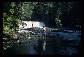
Image depicts a few unidentified individuals fishing in a river at an uncertain location.
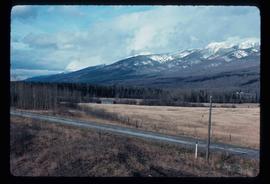
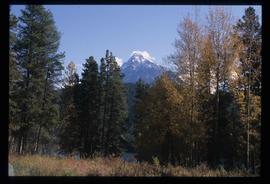
Image depicts what is either the Rocky Mountains or possibly the Columbia Mountains, from McBride, B.C.
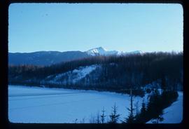
Image depicts a view of either the Rocky Mountains or possibly the Columbia Mountains near McBride, B.C.
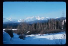
Image depicts a view of what is either the Rocky Mountains or possibly the Columbia Mountains near McBride, B.C.
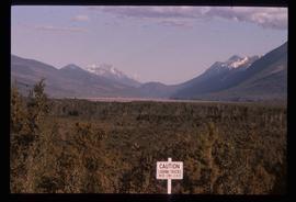
Image depicts a distant view of what appears to be a body of water, with numerous mountains in the background. The slide is labelled "Valemount reservoir."
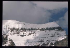
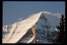
Image depicts the peak of Mt. Robson.
Image depicts the peak of Mt. Robson.
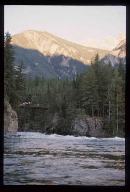
Image depicts a river somewhere in Mt. Robson Provincial Park, with a bridge running over it. The slide itself is labelled "Robson station."
Image depicts Mt. Fitzwilliam.
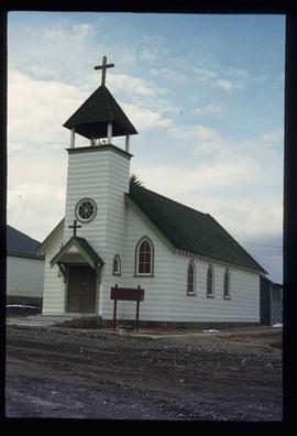
Image depicts a church somewhere in McBride, B.C. The sign in front possibly reads "St. Patrick's Church."
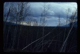
Image depicts a heavily forested area located in the Rocky Mountain Trench, possibly near Dome Creek or Lamming Mills, B.C.
Image depicts a church school in the community of Crescent Spur, B.C.
Image depicts several buildings in the community of Loos, B.C.
Image depicts an old, boarded-up store/office in Lamming Mills, B.C.
Image depicts a small section of the area surrounding Lamming Mills, B.C.
Image depicts what appears to be a part of the old, abandoned mill in Lamming Mills, B.C.
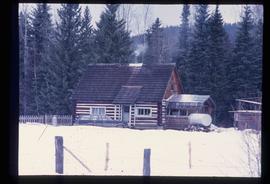
Image depicts a log cabin somewhere in Dome Creek, B.C.
Image depicts an old, unused log cabin somewhere in Dome Creek, B.C.
Image depicts several houses in Dome Creek, B.C.
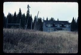
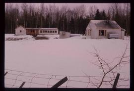
Image depicts the school and teacherage located in Dome Creek, B.C.
Image depicts a small farm located in Dome Creek, B.C.
Image depicts a farmhouse in Dome Creek, B.C.
File contains slides depicting places along the east line of the BC Railway. Some are duplicates of the images found in the "East Line, Dome Creek - Lamming Mills - Misc" file.
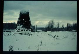
Image depicts a beehive burner covered in snow in Sinclair Mills, B.C. Map coordinates 54°01'17.4"N 121°40'53.0"W
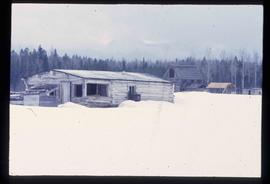
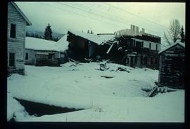
Image depicts an old, half-collapsed building at an uncertain location.
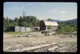
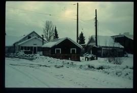
Image depicts several old buildings. The location is uncertain.
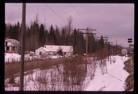
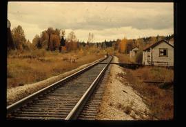
Image depicts railway tracks and buildings with a beehive burner on the left. The location is likely Sinclair Mills, B.C. Map coordinates 54°01'17.4"N 121°40'53.0"W
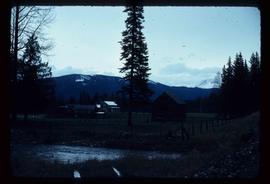
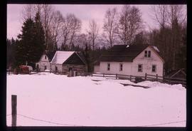
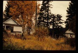
Image depicts two old houses surrounded by numerous trees at an uncertain location.
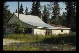
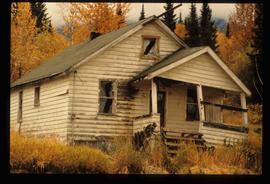
Image depicts a dilapidated house in Sinclair Mills, B.C.
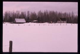
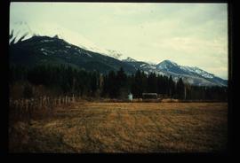
Image depicts a field and a shack in the foreground and mountains in the background. The location is uncertain, likely Longworth, B.C.
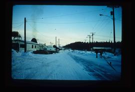
Image depicts the Upper Fraser Road running through Upper Fraser, B.C. A beehive burner is seen in the background on the left and the mill office is seen on the right. Map coordinates 54°07'05.7"N 121°56'38.9"W
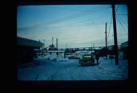
Image depicts entrance to mill yard for Upper Fraser mill in Upper Fraser, B.C. Map coordinates 54°07'10.8"N 121°56'51.7"W
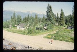
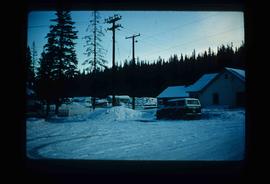
Image depicts several houses, likely in Upper Fraser, B.C.
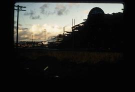
Image depicts Upper Fraser mill yard with log deck and beehive burner in silhouette across railroad tracks. Located in Upper Fraser, B.C. Map coordinates 54°07'01.5"N 121°56'29.6"W
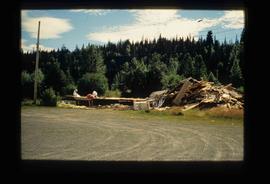
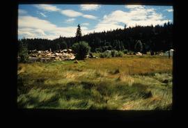
Image depicts Upper Fraser residential area during demolition of town site. Map coordinates 54°06'51.6"N 121°56'26.3"W
Image depicts Upper Fraser residential area during demolition of town site. Map coordinates 54°06'51.6"N 121°56'26.3"W
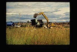
Image depicts numerous piles of logs, and two unidentified individuals operating an excavator with a "thumb" attachment during the demolition of the Upper Fraser town site. Map coordinates 54°06'51.6"N 121°56'26.3"W
Image depicts Upper Fraser Elementary School, after closure of town site. Map coordinates 54°06'54.4"N 121°56'16.6"W
