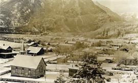
Photograph depicts a view of Lillooet's Main Street looking south southeast. The St. Andrew's United Church is visible in the foreground; the Anglican church is visible at the end of the street.
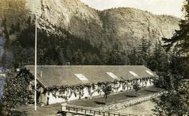
Photograph depicts the Seton Lake hatchery building constructed by the British Columbia provincial government in 1903.
Additional photographs and information about this construction is provided in the Fisheries Commissioner's Report for that year:
"In October, 1902, bids were invited for the construction of a hatchery building and Superintendent's cottage on Lake Creek, the outlet of Seton Lake, near the village of Lillooet. There were six bidders. A contract was let to W. Duguid, of Lillooet, the lowest bidder, in November. The buildings were completed and accepted in March, 1903. The hatchery building is a substantial wooden structure 210 feet long by 40 feet wide. The roof is supported by the walls, thus giving a clear floor space for the 160 hatching troughs, which are each 16 feet long, 16 inches wide and 7 inches deep. Two troughs are placed end to end and extend the width of the building, and receive the water from the head flumes which run lengthwise of the building. The equipment permits of the handling of forty million eggs. The water supply is taken from Lake Creek at a point some 1,400 feet from the hatchery, and about the same distance from Seton Lake, by means of a wooden flume three feet wide and two feet deep. A comfortable cottage for the Superintendent and a boarding-house for the other employees were constructed and furnished. The station in all its equipment is modern, and is not excelled by any other on the coast..."
Hatchery operations were terminated in Seton Creek in 1915 because the salmon runs had been almost destroyed.
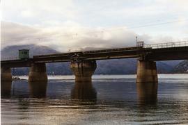
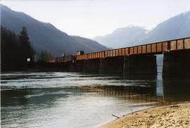
Phoyo depicts a CPR swing bridge in Sicamous.
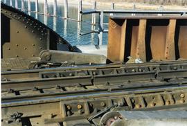
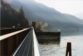
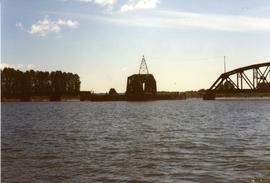
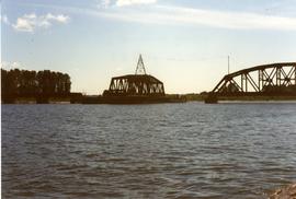
Photograph depicts a swing bridge in Harrison Mills. It was rarely used, but all its controls were modern and maintained.
Photograph depicts a CPR swing bridge in Harrison Mills. Taken on the downstream side of Harrison River.
Photograph depicts a CPR swing bridge in Harrison Mills. Looking west, on the upstream side of the Harrison River.
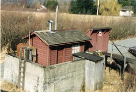
Photograph depicts a fuel storage shed in Harrison Mills.
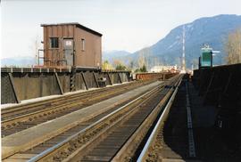
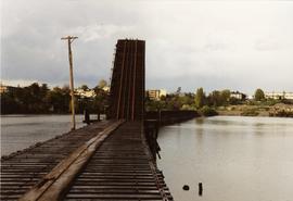
Photograph depicts a CPR swing bridge in Harrison Mills. Looking east, towards Kilby Store. Swing section in the foreground. It was rarely used.
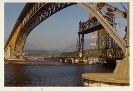
Photograph depicts a CNR lifting bridge in Vancouver.
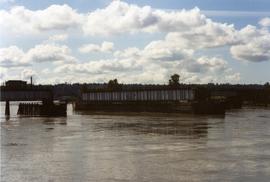
Photograph depicts the Pitt River swing bridge in an open position. Apparently, it opened up to half a dozen times a day to allow large pleasure crafts to go through. Photograph taken at high tide when little clearance occurred.
Photograph depicts railway track previously owned by BCER. It led onto the east end of Lulu Island and then to Annacis Island. Looking from the Naew West River Walk to the Queensborough bridge that was protected by signals and had a high chain link fence to deter pedestrians. It was likely that the rail was only used at night. Originally built by Canadian Northern Railway to reach Steveston, circa 1917.
Photograph depicts the CPR Pitt River swing bridge in an open position.
Photograph depicts a CNR bascule bridge across the upper waters of Victoria Harbour. The rest of the trackage had been removed, except for the bridge itself.
File consists of documentary photographs taken by David Davies of miscellaneous bridges in British Columbia.
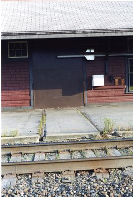
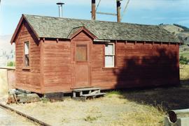
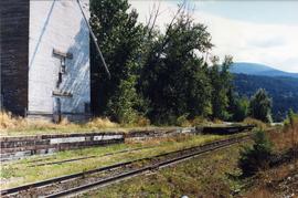
Photograph depicts a former gang car 'garage' in a station building.
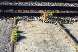
Photograph depicts typical 'set on' rails for speeders that were often made of wood.
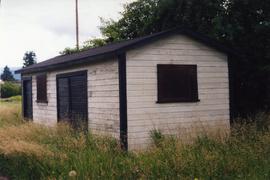
Photograph depicts a tool house on a CNR curve in Armstrong. Not in frequent use.
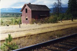
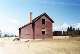
Photograph depicts an abandoned section in Wasa, on the CPR Windermere Subdivision. Built in 1914-20. Very rare at this date. The only known of the same type was in Brookmere (private and lived in).
Photograph depicts the side view of an abandoned section house in Wasa, on the CPR Windermere Subdivision.
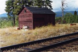
Photograph depicts a disused tool house in Wasa, at the CPR Windermere Subdivision. Davies notes the structure was rarely seen at the time the photograph was taken.
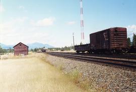
Photograph depicts a tool house in Wasa, at the CPR Windermere Subdivision. Before 1970, the station had siding for 37 cars. Now it had two sidings for a total of 150 cars. Note the old box car with old lettering that was presumably on non-reserve service.
Photograph depicts a CPR section bunk house in Midway. On the left was a living room with two windows, stove, and sink. Bedroom with one window and two beds located on the right.
File consists of documentary photographs taken by David Davies of railway maintenance of way buildings in British Columbia.
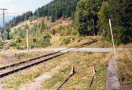
Photograph taken looking north, with a spur in the foreground. It was used by ore mixed freight daily. It was believed that at the bottom of the grade was a junction with a GNR branch that ran from the US border south of Creston to Kootenay Lake (built in 1904, then was hardly used, finally ceased in 1910).
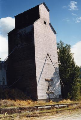
Photograph depicts the rear view of an elevator showing its name. Track was on the far side.
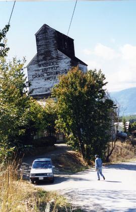
Photograph depicts a grain elevator which Wynndel was famous for.
Photograph depicts a grain elevator that had a 7 car spur to service it. Davies doubted if grain traffic ever moved by rail near Wynndel. Two flat cars appeared to have used the platform to overload machinery and vehicles.
File consists of documentary photographs taken by David Davies of a grain elevator in Wynndel, British Columbia.
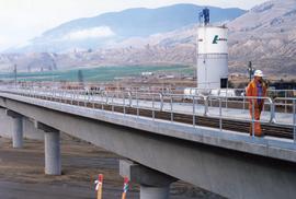
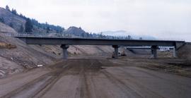
Photograph depicts a new CN overpass in Campbell Creek. The grade crossing at the newly created service/business road was built on the south side of a road/rail complex.
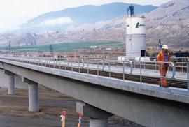
Photograph depicts a new CN overpass in Campbell Creek. The new part of the Trans-Canada Highway beneath it had yet to be paved.
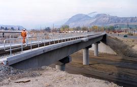
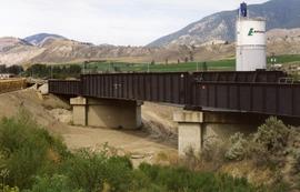
Photograph depicts a new bridge on the CNR Okanagan Branch. The old steel bridge on the right had been dismantled.
Photograph depicts a new CN overpass in Campbell Creek. Looking at new eastbound lane of the Trans Canada Highway. It was all paid for by the Provincial Department of Highways in order to convert the 2 lanes into 4 in order to improve visibility and stretch the highway.
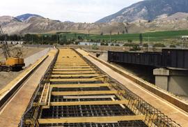
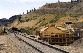
Photograph depicts a new concrete bridge being constructed. The old one is one the right.
Photograph depicts an old girder bridge.
Photograph depicts a replacement rail bridge. Forms sat on a temporary pile of dirt, which in turns sat on a road bed of a new highway that had just been cut.
Photograph depicts an existing girder bridge, in use since 1962. A new concrete bridge was being built on the left.
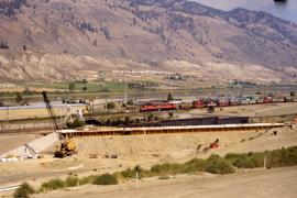
File consists of documentary photographs taken by David Davies of bridge replacements in Campbell Creek, Kamloops, British Columbia.
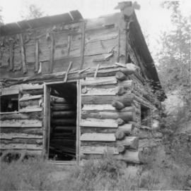
Photograph depicts an abandoned cabin about 100 yards from the Fraser River on Bridge River road, about 2 miles out of Lillooet.
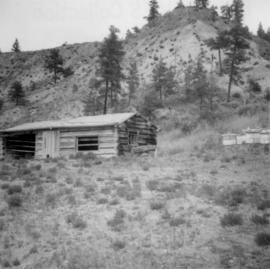
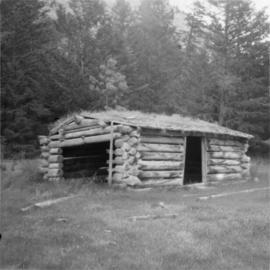
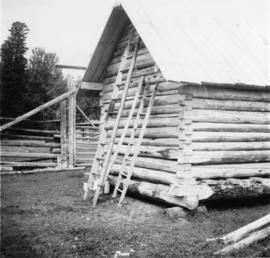
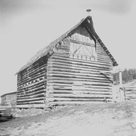
Photograph depicts a log cabin with a sod roof that was used as a cow shelter on Dot Ranch. The ranch was probably built by pioneers pior to 1900.
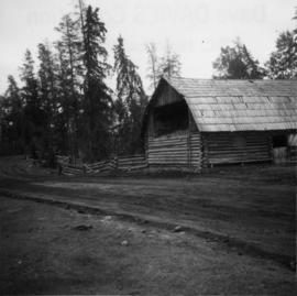
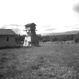
Photograph depicts a barn attached to Watch Lake Lodge, a dude ranch.
Photograph depicts a pump house on the Island Highway, north of Qualicum Beach, Vancouver Island.
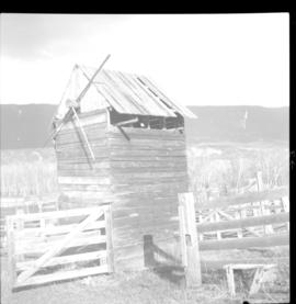
Photograph depicts a meat carcass windlass.
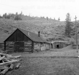
Photograph depicts the yard at the Hat Creek Ranch. Hat Creek used to be a staging post on the Cariboo Road.
Photograph depicts a cattle shed located 3 miles east of Pavilion Lake, which is 15 miles northeast of Lillooet. It may have been a settler's cabin at one time.
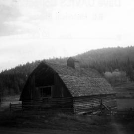
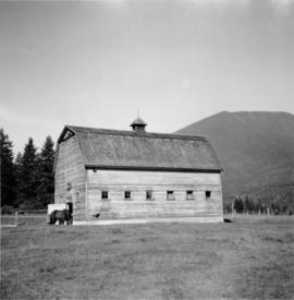
Photograph depicts a barn located in Aspen Grove.
Photograph depicts a small barn that had just been built within the last 12 months.
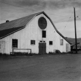
Photograph depicts a cattle barn of the Douglas Lake Ranch.
Photograph depicts the same person who owned the service station building electric generator house in Trout Lake. He also built an undershot water wheel that was driven by Lardeau Creek.
Photograph depicts a barn of the Glenwalker Ranch. Built in 1890-1910.
Photograph depicts a barn located on the south side of Kokamee Creek, part of Kootenay Lake.
