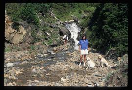
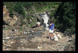
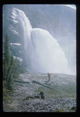
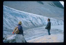
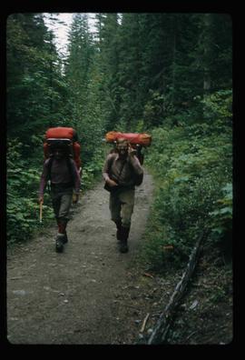
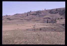
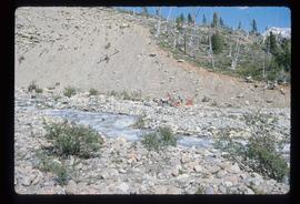
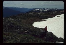
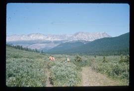
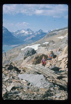
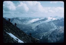
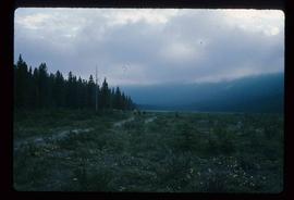
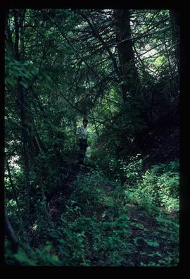
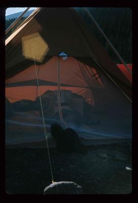
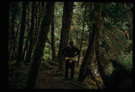
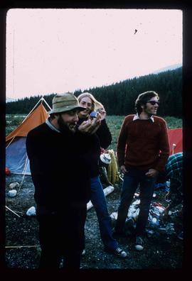
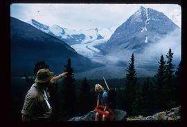
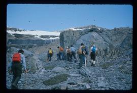
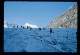
File consists of notes and reproductions relating to the Yukon Telegraph Trail, which runs through British Columbia from Ashcroft in the south to Atlin in the North. The telegraph line was constructed by the Dominion Government Telegraph Service from 1898 to 1901. The groundwork for this telegraph line was laid by the Collins Overland Telegraph and the Western Union Telegraph (Russian-American Telegraph). File also includes photographs depicting a cabin at Bobtail Lake along the telegraph trail (1977).
Image depicts a waterfall with a mountain peak in the background; it is most likely Mt. Robson.
Image depicts two individuals and two dogs standing by a stream at an uncertain location, possibly somewhere in Bear Glacier Provincial Park. The woman in purple is possibly Sue Sedgwick.
Image depicts two individuals and three dogs standing by a stream at an uncertain location, possibly somewhere in Bear Glacier Provincial Park. The woman in purple is possibly Sue Sedgwick.
Image depicts two unknown individuals standing near a waterfall somewhere near Mt. Robson.
Image depicts two unknown individuals standing by a glacier somewhere in Mt. Robson Provincial Park.
Image depicts two men on the hiking trail near Mt. Robson.
Image depicts a view of the scenery at an uncertain location with numerous individuals, possibly tourists, present. It is possibly somewhere near the Fraser River.
Image depicts a view of the landscape at an unknown location with a group of people, possibly tourists, present. It is possibly near the Fraser River.
Image depicts three individuals and three dogs standing by a stream at an uncertain location, possibly somewhere in Bear Glacier Provincial Park. The woman in purple is possibly Sue Sedgwick.
Image depicts three unknown individuals at a campsite.
Image depicts three men and a dog on the hiking trail near Mt. Robson.
File contains slides depicting old survey equipment and maps.
Image depicts objects, including a flag pole, that the slide labels as "survey equipment." The slide also places it as a "Peyto icefall," on the Peyto Galcier in the Banff National Park in Alberta, B.C.
Image depicts an unidentified individual standing next to a marker and a stake at an uncertain location.
Image depicts an unidentified individual setting up some sort of pole in the snow for a process the slide labels as "snow sounding." The location is uncertain.
File consists of notes, clippings, and reproductions relating to Simon Fraser, Canadian explorer and North West Company fur trader who charted much of what is now the Canadian province of British Columbia and founded a number of BC communities, including Prince George (Fort George). Includes a photograph depicting a bicentennial celebration at Fort George Park (1993).
File consists of photographs depicting the Salmon River Portage. Includes depictions of potential past mill sites, overgrown fields, and derelict buildings.
Image depicts an individual standing on a trail in the coastal forest on Haida Gwaii, B.C.
Image depicts an individual ducking under a tree branch somewhere in Haida Gwaii, B.C.
Image depicts a group of people on the rocky bank of a river somewhere near Mt. Robson.
Image depicts a group of people standing on the foot of a glacier, possibly the Robson Glacier.
Image depicts a group of people standing on a hill, with what is possibly Mt. Robson in the background.
Image depicts a group of unknown individuals with a mountain in the background.
Image depicts a man talking to a group of hikers, with what is possibly Mt. Robson and the Robson Glacier in the background.
Image depicts a group of people heading towards a glacier, possibly the Robson Glacier.
Image depicts an unknown individual and some snow located somewhere along the Murray Ridge.
Image depicts a group of hikers somewhere in the Mt. Robson Provincial Park.
Image depicts a pair of hikers and a view of Mt. Robson Provincial Park.
Image depicts a view of Mt. Robson Provincial Park, with a group of hikers hiking up a mountain side in the foreground.
Image depicts a group of hikers somewhere in Mt. Robson Provincial Park.
File consists of notes, clippings, and reproductions relating to McLeod Lake. Includes a "History of McLeod Lake, BC" typescript document by Kelly Rogers (1982). File also includes photographs depicting McLeod Lake (1999-2000).
Image depicts an individual, possibly Kent Sedgwick, standing on a trail through a forest somewhere in or around Seton Portage, B.C.
Image depicts an unknown individual reading inside a tent somewhere in Mt. Robson Provincial Park.
Image depicts a man, with what is possibly the Robson Glacier visible in the background.
File consists of notes and reproductions relating to Luther Collins Gunn and L.C. Gunn Park. Luther Colins Gunn was a survey engineer who had done work for the Grand Trunk Pacific Railway and the Pacific Great Eastern Railway when he arrived in Prince George. The L.C. Gunn trail follows the same route used by Gunn when surveying the rail routes in the Prince George area. Includes: "Gunn Point" typescript document by Ted Williams for the Heritage Advisory Committee (1985); "A Proposal - The L.C. Gunn Viewpoint" typescript letter to Mr. Mac Norris, president of the B.C.R. Company from Ted Williams and the Heritage Advisory Committee (27 Jan. 1987); and "Item of business, proposed use of District Lot # 486" typescript letter from the Heritage Advisory Committee to Beverley Pitman, Planning Assistant (31 May 1979). Also includes photographs depicting the Moffat farm (2005).
File consists of notes and reproductions relating to land exploration and surveying in British Columbia by Alfred R.C. Selwyn, who was a British geologist and public servant, director of the Geological Survey of Victoria from 1852 to 1869, director of the Geological Survey of Canada from 1869 to 1894, and President of the Royal Society of Canada from 1895 to 1896. Includes: "Photography: Mirror of the Past" American History magazine special edition (Sept. 1989) and a photocopied article "Ninety Years Later" by F.C. Swannell from The Beaver magazine (1956). File also includes reproduced photographs depicting scenes from Selwyn's exploration around British Columbia (1989).
Image depicts Kent Sedgwick standing in a forest somewhere on Haida Gwaii.
Image depicts Kent Sedgwick smoking a pipe at camp, with two other unknown individuals nearby.
Image depicts Kent Sedgwick pointing out what is possibly the Robson Glacier in the background. Another, unknown individual is also present in the image.
Image depicts Kent Sedgwick crouching and holding a stick; the slug on the end is barely visible. Located somewhere on Haida Gwaii.
Image depicts Kent Sedgwick speaking to a group of hikers.
Image depicts an unidentified individual drilling into the ice.
Image depicts a group of hikers hiking up a slope.
Image depicts a group of people hiking through trees somewhere in Mt. Robson Provincial Park.
Image depicts a group of people hiking up a glacier, possibly the Robson Glacier.
Image depicts a group of people hiking on a glacier, possibly the Robson Glacier.