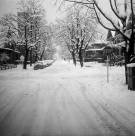
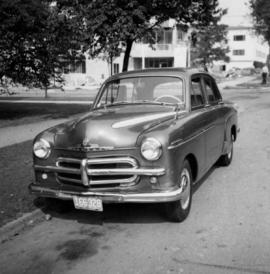
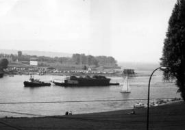
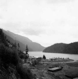
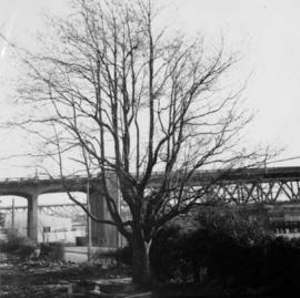
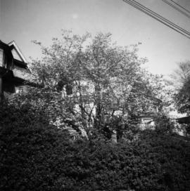
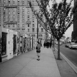
2013.6.36.1.003.100
·
Stuk
·
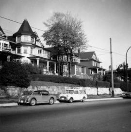
Apr. 1966
Part of David Davies Railway Collection
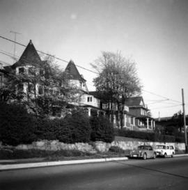
Photograph depicts Cadero St. in the west end of Vancouver, looking north from Barclay St. intersection in the 800 block.