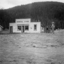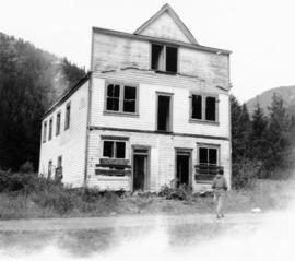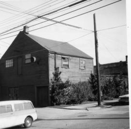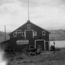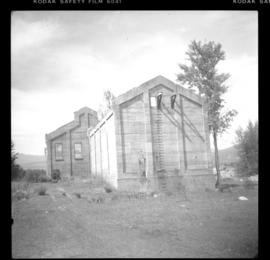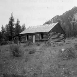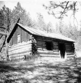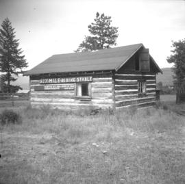
2013.6.36.1.076.05
·
Item
·
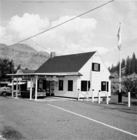
27 Sept. 1974
Parte de David Davies Railway Collection
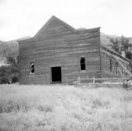
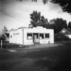
Photograph depicts Golly's Grocery that was closed and slightly vandalised.