2006.20.9
·
Dossiê/Processo
·
[ca. 1897 - 1960]
Parte de Northern BC Archives Historical Photograph Collection
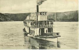
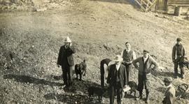
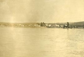
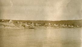
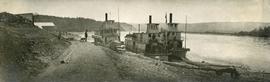
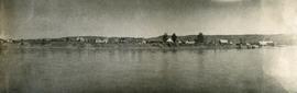
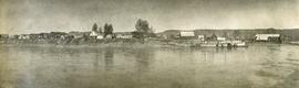
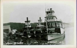
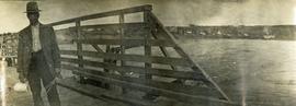
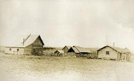
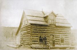
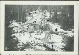
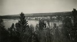
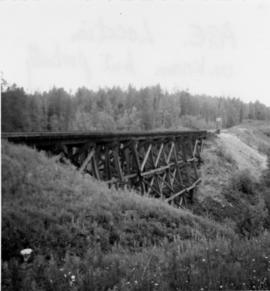
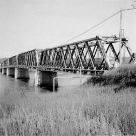
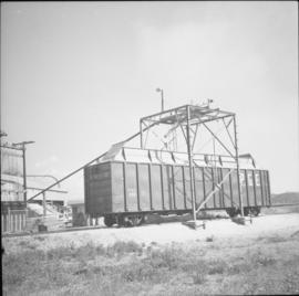
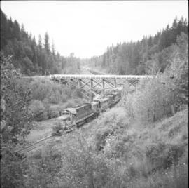
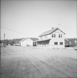
Photographs within this file pertain to modes of transportation and transportation routes (including construction, surveying and traveling).