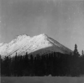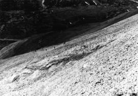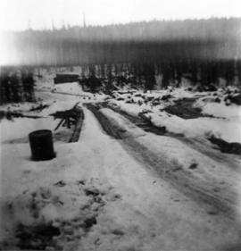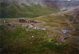
2000.1.1.1.06.09
·
Item
·
Aug. 1991
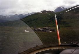
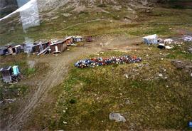
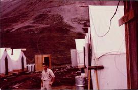
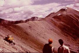
Part of Cassiar Asbestos Corporation Ltd. fonds
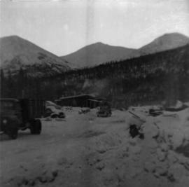
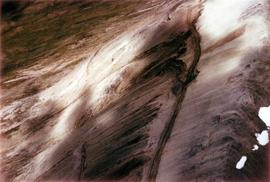
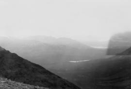
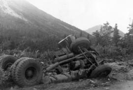
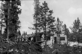
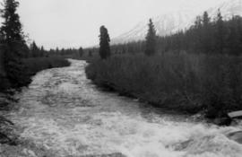
Photograph depicts steel drums and wooden buildings at an exploration camp in the Kutcho Creek valley area of B.C. The camp was set up by a crew led by Cassiar's Chief Geologist Bill Plumb. An arrow points to a possible burial site.