2013.6.36.1.015.06
·
Pièce
·
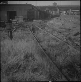
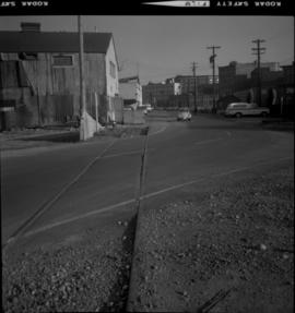
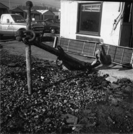
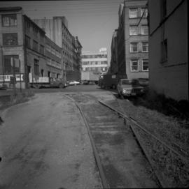
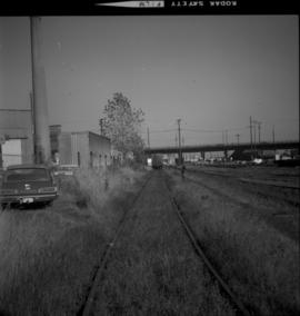
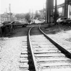
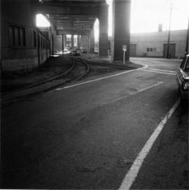
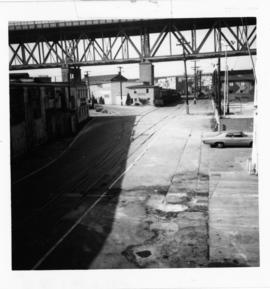
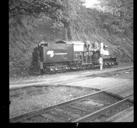
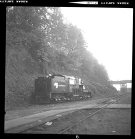
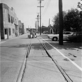
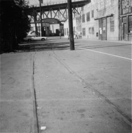
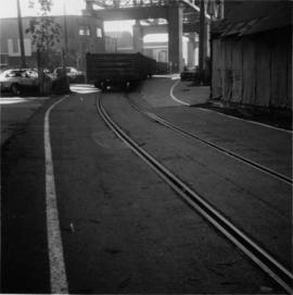
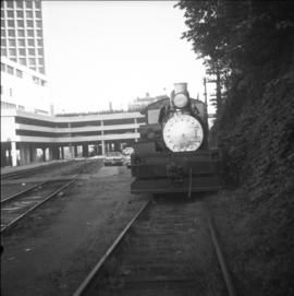
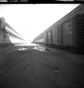
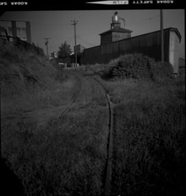
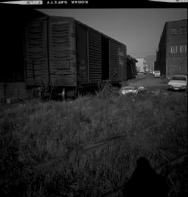
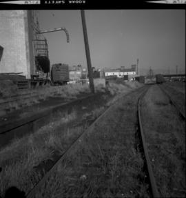
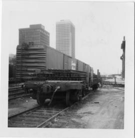
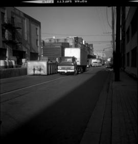
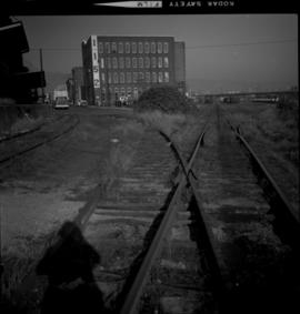
22 Oct. 1974
Fait partie de David Davies Railway Collection
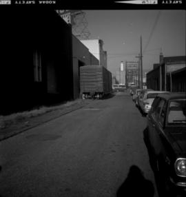
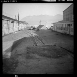
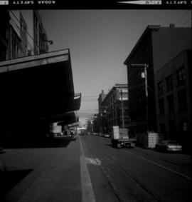
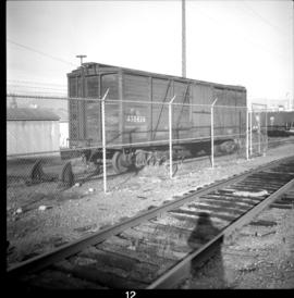
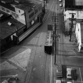
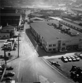
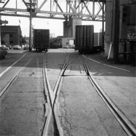
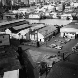
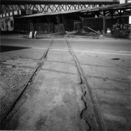
Photograph depicts the CP rail and the edge of the Homer St. warehouse complex in Vancouver. The view is looking northeast at the western end of Mainland St. The building is at #1152 Mainland St. The right hand track (man's shadow it) goes down Mainland and is in apparent use. The rail on the left hand track is dated 1938.