Showing 475 results
Archival description
Remove filter:
Arthur Holland Land Surveying Collection
Remove filter:
Graphic material
Remove filter:
With digital objects
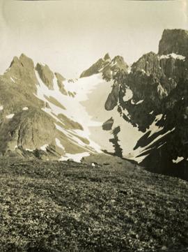
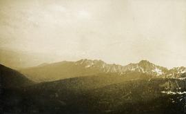
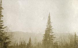
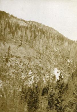
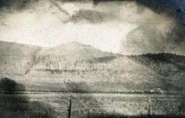
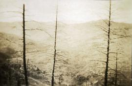
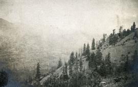
Views from the summit of Hudson Bay Mountain between John Brown and Kitseucla Creeks
Views from the summit of Hudson Bay Mountain between John Brown and Kitseucla Creeks
Views from the summit of Hudson Bay Mountain between John Brown and Kitseucla Creeks
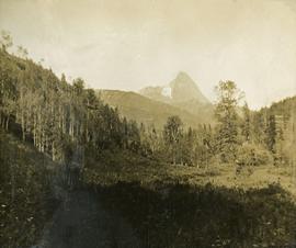
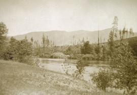
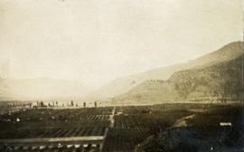
Valley of Kitseucla Creek looking north from the 55th parallel
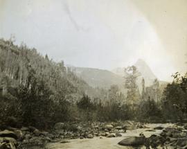
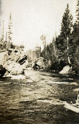
Kitseucla Creek
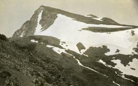
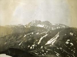
Kitseucla Summit, 6800 feet above sea level
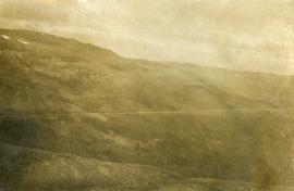
East slope of Babine Range
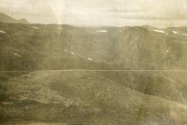
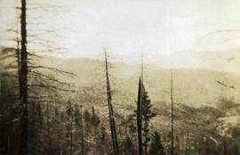
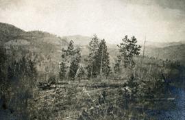
Views from Kitseucla summit
Views from Kitseucla summit
Crossing Kitseucla summit at 6800 feet elevation
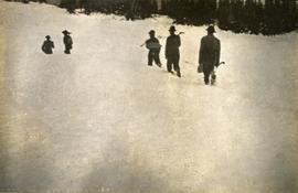
Breaking trail
Views from Skeena Crossing
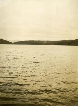
Views from crossing Babine Lake
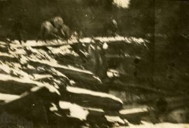
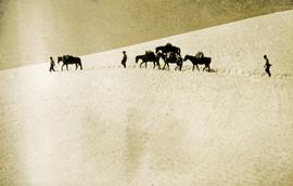
Packed horses navigating the bridge across the log jam
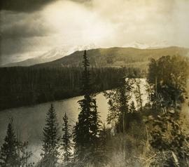
55th parallel near Bulkley River, BC
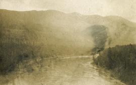
Bulkley River, BC
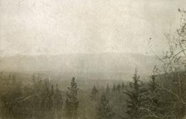
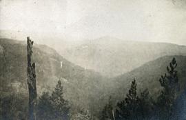
Looking east from Babine range
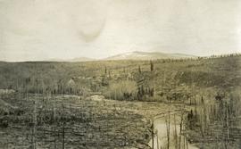
Looking up Government Creek, Cariboo mountains in the background
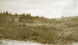
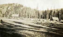
Settler's cabin on Pacific Great Eastern Railway
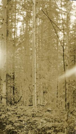
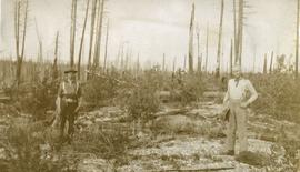
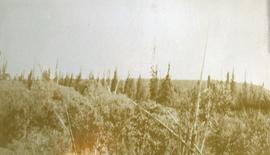
Timber growth in river bottom
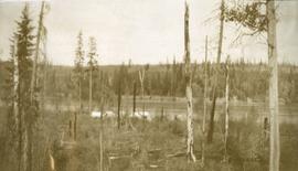
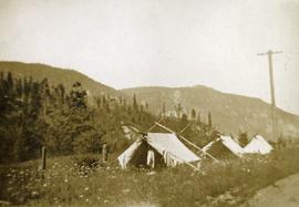
Camp near Woodpecker Island
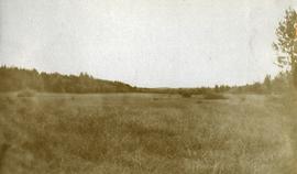
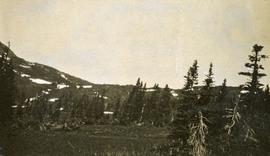
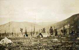
Muskeg meadow
Bottom land near Woodpecker Island
Bottom land near Woodpecker Island
Morrissey Creek near Grand Forks, BC
Kettle River at Handy's
Camp near Gilpin June
A season's cut of logs
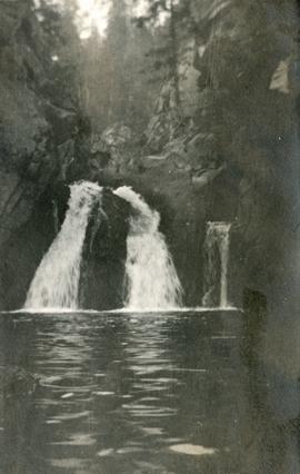
McRae Creek Falls
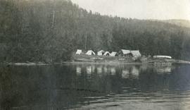
Camp at Texas Point, Christina Lake, in August
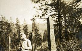
International boundary monument near Cascade, BC
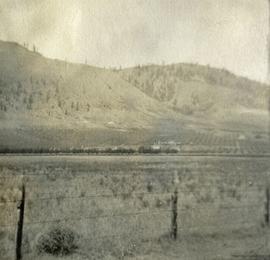
Doukhobor farm in the Kettle River Valley
Doukhobor farm in the Kettle River Valley
Doukhobor farm in the Kettle River Valley
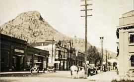
Main streets of Grand Forks, BC
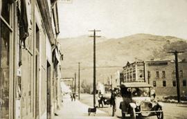
Main streets of Grand Forks, BC
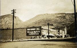
Main streets of Grand Forks, BC
Bassette's ranch on Fourth of July Creek
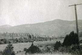
Valley of Boundary Creek from mountain south of Anaconda, BC
Valley of Boundary Creek from mountain south of Anaconda, BC
Headwaters of Pass Creek
Headwaters of Pass Creek
Looking east down Pass Creek to the valley of North Fork
Old bridge on North Fork near the junction of West Fork
Farm and dwellings near Pass Creek, BC
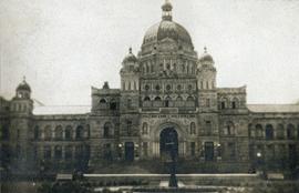
British Columbia Parliament Buildings, Victoria, BC
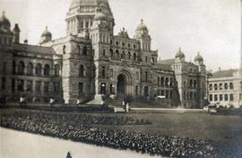
British Columbia Parliament Buildings, Victoria, BC
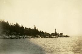
Lighthouse and rocky shore near Vancouver Island
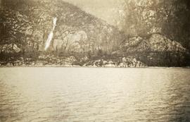
Waterfall on a mountainside
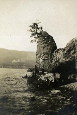
Siwash Rock Vancouver, British Columbia