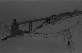
2000.1.1.2.2.01
·
Stuk
·
1963
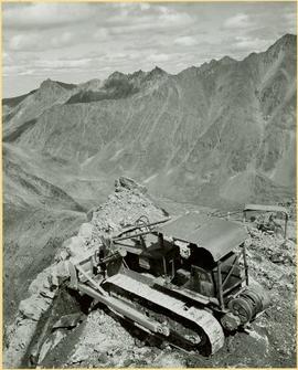
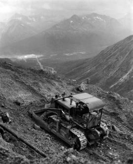
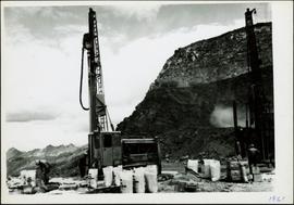
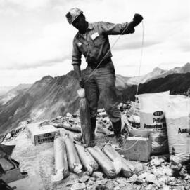
Part of Cassiar Asbestos Corporation Ltd. fonds
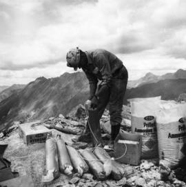
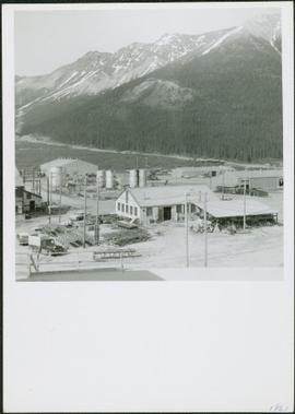
Handwritten photo captions below this item and item 2000.1.1.2.2.2: "ELEVATION OF SITE: 6000' " "Two views of completed Crusher Bldg." Man in white hard hat stands beside steel drums in front of garage door on side of crusher building. Mountainside road to crusher in foreground, mountain range in background.