2007.1.28.10
·
Dossier
·
1956-1959
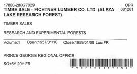
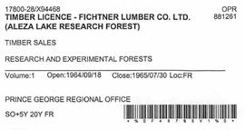
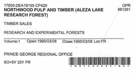
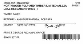
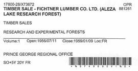
Fait partie de Aleza Lake Research Forest fonds
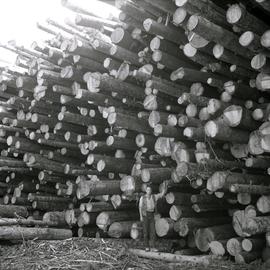
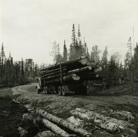
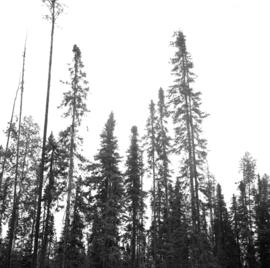
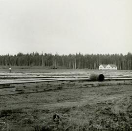
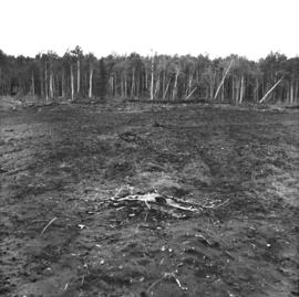
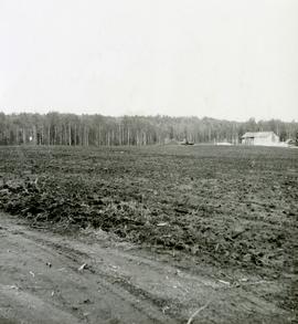
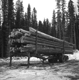
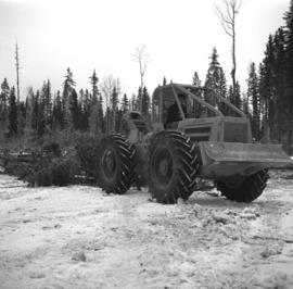
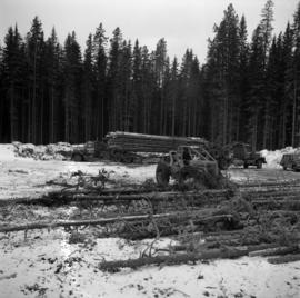
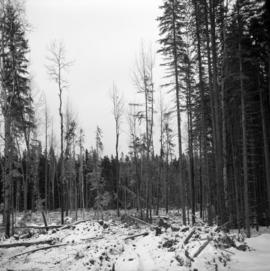
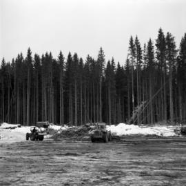
File contains timber sale contracts and logging inspection reports between the Department of Lands and Forests and the Fichtner Lumber Company.