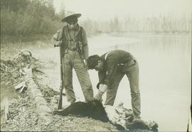
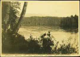
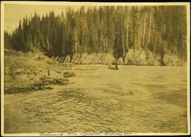
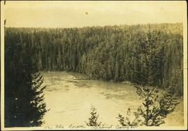
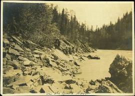
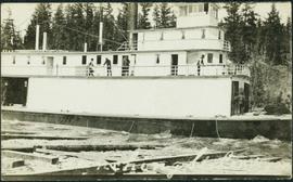
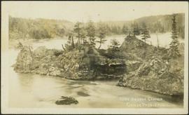
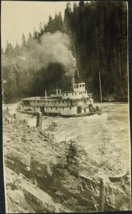
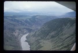
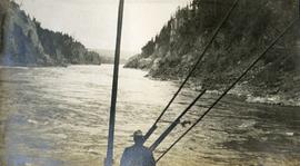
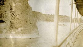
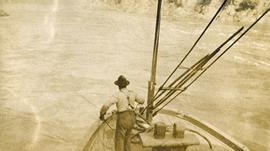
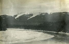
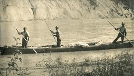
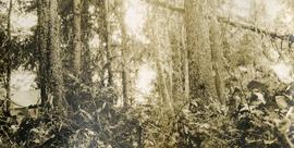
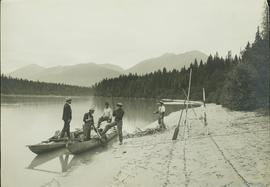
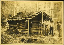
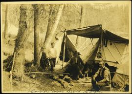
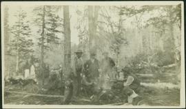
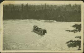
Part of a set of 41 original black & white photographs [1908-1933-?]) of the Grand Trunk Pacific Railway line in BC depicting surveying crews, town sites (Prince Rupert and its port, Hazelton and Fort George), and First Nations Peoples.
File consists of one video-recording related to the Fraser River Basin and water resource management issues on the Fraser River.
Photograph depicts opposite shore in background behind river, bushes and trees in foreground. Handwritten photo caption on verso and recto of this photograph reads: "Fraser River at the mouth of the Clearwater".
Photograph depicts opposite shore in background behind river, and close shore in foreground on right. Men can be seen standing and paddling on canoe in distance. Handwritten photo caption on verso and recto of this photograph reads: "On the Clearwater".
Photograph depicts two men standing and paddling in canoe on river, trees stand above rock face on opposite shore in background. Handwritten photo caption on verso and recto of this photograph reads: "Entering the Grand Canyon."
Photograph depicts men on a scow near opposite shore of river. Treetops in foreground. Photograph taken from above. Handwritten photo caption on verso and recto of this photo reads: "in the lower Grand Canyon".
Photograph depicts a line of men standing on rocky shore and holding a long rope between them, while men on scow float close to shore in distance. Trees on opposite shore in background. Handwritten photo caption on verso and recto of this photo reads: "in the Grand Canyon."
Photograph depicts men standing on different deck levels of conveyor on the Fraser River. Wood planks built into shore in foreground, trees on opposite shore in background. Handwritten annotation on verso of photograph reads: "Launching Conveyor", on recto: "Launching the rebuilt steamer Conveyor at Tete Jaune 1912".
Photograph depicts a small pass through an island or peninsula on the Fraser River. Photo is believed to have been taken near Stone Creek, south of South Fort George. Annotation on verso of photograph reads: "FORT GEORGE CANYON. CANOE PASS. J. HEAY. PHOTO."
Photograph depicts a paddle wheel conveyor believed to be in distress in the Fort George Canyon on the Fraser River. Rocky bank in foreground, trees on opposite shore in background.
Photograph depicts what appears to be two trains and a long building on high level of river bank. Fraser river in foreground, forest trees on shore in background.
Photograph depicts three small children (Henry, Charlie and Mary) standing at Sand Creek settlement. A dog stands beside them pulling a small wagon of firewood. Tent and wood buildings in background, including a cafe on far right. Hillside can be seen in distance. Handwritten annotation on recto of photograph reads: "Houghtaling Sand Creek Bourchier 1912".
Image depicts the Fraser River passing through the upper Fraser Canyon.
Image depicts the Fraser River near Gang Ranch in the Upper Fraser Canyon.
Image depicts a bridge over the Fraser River in the Upper Fraser Canyon; possibly near Gang Ranch.
Image depicts the Fraser River in the Lillooet, B.C.
Image depicts a view of the Fraser River near Lillooet, B.C.
Image depicts a view of the Fraser River and the mountains surrounding Lillooet, B.C.
Image depicts the Fraser River near Lillooet, B.C.
Image depicts the Fraser River running through the Moran Canyon near Lillooet, B.C.
Image depicts an area around Lillooet, B.C. It is possibly the Fraser River running through the Moran Canyon.
Image depicts a view of the Fraser River, as well as a road and railroad, near the Moran Canyon.
Image depicts the Fraser River near Lillooet, B.C.
Image depicts a view of Moran Canyon in the Lillooet area. The Fraser River is visible on the left.
Image depicts the Fraser Valley, looking north, possibly from Marguerite, B.C.
Image depicts the Fraser River in the Fraser Canyon.
Image depicts an aerial view of a plateau near the Fraser River.
Image depicts an aerial view of a section of land, likely near the Fraser River, that is possibly either a slump or part of a mining operation. The slide is labelled "slump or mining."
Image depicts an aerial view of the land near the Fraser River. The Fraser River is barely visible on the right side of the image.
Image depicts an aerial view of the Fraser River.
Image depicts ridge-like rock formations at an uncertain location, though possibly somewhere near the Fraser River.
Photograph depicts view from the steamboat deck approaching Cottonwood Canyon.
Photograph depicts a view of the rocky shores of Fort George Canyon from the deck of a steamship.
Photograph depicts a view of the swirling waters of Fort George Canyon from the deck of a steamship.
Photograph depicts a lofty view of a river with snow and ice on the shore, forest and snowy mountains in the background.
Photograph depicts three men standing in a canoe with long poles. Canoe is floating in quiet river water, bluffs in the background.
Photograph depicts lush forest growth, a tent or tarp is set up on the left of the photo.
Part of a set of 41 original black & white photographs [1908-1933-?]) of the Grand Trunk Pacific Railway line in BC depicting surveying crews, town sites (Prince Rupert and its port, Hazelton and Fort George), and First Nations Peoples.
This photograph album consists of photographs of remote police barracks at Mile 47 and Mile 29; early settlements and/or mercantile stores at Tete Jaune Cache, McBride, Sand Creek, Fort George and South Fort George; Grand Trunk Pacific Railway forestry and railway camps; scows and paddlewheel conveyors on the Fraser River; automobiles; community leisure activities; as well as, images of the Bourchier family. The following South Fort George establishments are identifiable within these photographs: Empress Hotel, Ah Yee General Merchant, German Bakery, Northern Hotel, South Fort George Drug Store & Post Office, St. Michael’s Church, Prince George Hotel, Ford Monarch dealership, Astoria Hotel, and King George V Elementary School. Identified geographic locations featured in these photographs include: Tete Jaune, Upper Fraser, Mile 47, Mile 29, Fraser River, Mt. Robson, McBride, Sand Creek, Glacier Mountain, Moose River, Giscome Portage, Pott Falls, Red Deer River, Grand Canyon, Summit Lake, Canoe Pass, Connaught Hill, Nechako Bridge, and Island Cache.
Bourchier, Alan K.Photograph depicts four men standing in front of small log cabin with sod roof. It is believed that these men are also featured at Ah Yee's in item 2009.5.3.16. A man believed to be Meikle sits in window of cabin. Forest in background. Handwritten annotation on recto of this photograph reads: "Meikle's Cabin mouth of Clearwater".
Photograph depicts three men and dog in tent campsite. Cooking supplies and miscellaneous items in throughout, forest trees in background. Handwritten annotation on verso and recto of this photograph reads: "Camp on Upper end of Grand Canyon".
Photograph depicts six men around fireside in forest, trees felled on either side. Bob Potts sits on far right, next to dog in foreground. These men are believed to be members of A. K. Bourchier's crew on the Upper Fraser River. Handwritten annotation on recto of photograph: "Preparing The miday meal. frying Bacon on sticks. Potts. Chief Chef."
Tree branches in right foreground, and forest above banks on opposite shore in background.
Photograph depicts a train and long building on high level of river bank. Fraser river in foreground, forest trees on shore in background.
Photograph depicts Mrs. Houghtaling standing with four small children near doorway of tent building (Gertrude, Mary, Henry, and Charlie). This photograph is believed to have been taken at Sand Creek, BC. Forest trees in background. Handwritten annotation on recto of photograph reads: "Tete Jaune 1912".
2 Stern wheelers tied to the river bank. Printed annotation on recto reads: “The B.C. Express mail Steamers No. 102.”
Collection contains photographs depicting community life in Prince George, B.C. Images depict holiday events, sports teams, government buildings, businesses (hotels, banks, retail, newspaper office), riverboats, railroad construction, fishing, a cemetery, street scenes, aerials, and landscapes. Also includes photos taken outside of the Prince George vicinity including Prairie Creek, Thomas Creek and Barkerville, B.C.
Postcard photograph depicts sternwheeler, men visible on deck, hills on opposite shore in background.
Printed annotation on recto reads: “B.C. Express Steamer, Fraser River.” Handwritten annotation in pencil on verso reads: “BC Express Fraser River BC”.