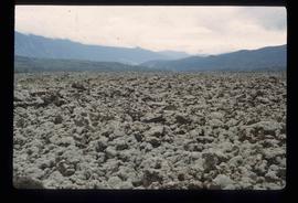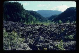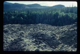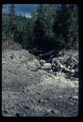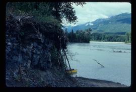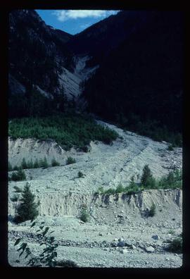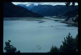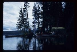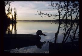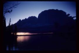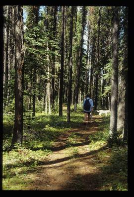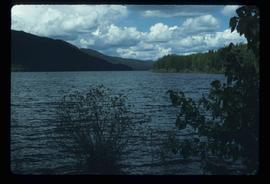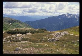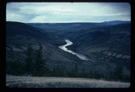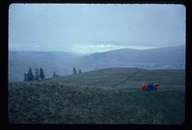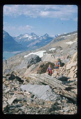
2012.13.1.56.60
·
Stuk
·
1973
Part of J. Kent Sedgwick fonds
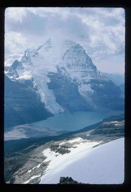
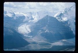
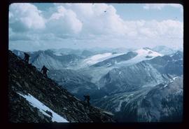
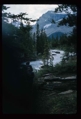
Image depicts a pair of hikers and a view of Mt. Robson Provincial Park.