2013.6.36.1.111
·
Bestanddeel
·
4 Feb. 1989
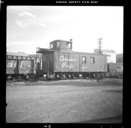
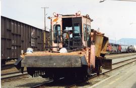
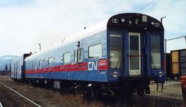
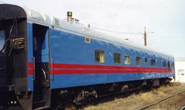
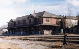
Part of David Davies Railway Collection
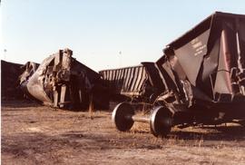
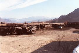
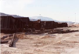
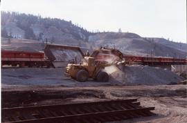
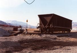
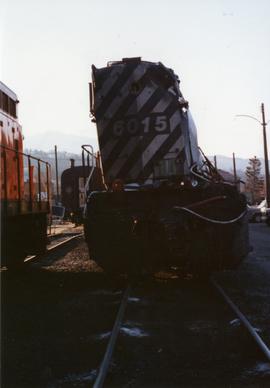
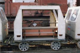
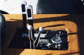
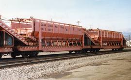
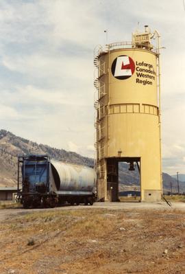
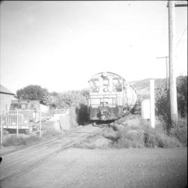
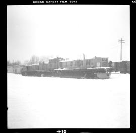
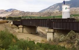
File consists of documentary photographs taken by David Davies of a CPR coal train wreck near Lafarge in Kamloops, British Columbia.