Photograph depicts a Rental and repair shop on 3rd Avenue.
Photograph depicts a weathered barn along a body of water, presumed to be in the North Thompson area.
Photograph depicts a weathered barn along a body of water, presumed to be in the North Thompson area.
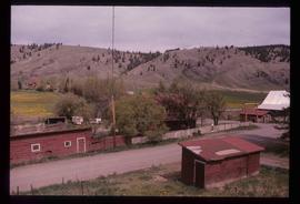
Photograph depicts a residential building in the North Thompson region.
Photograph depicts a wooden building presumably at the Fort St. James historic site.
Photograph depicts a wooden and abandoned building, the roof caving in and the sides tarnishing. Photograph taken in an unknown location.
Photograph depicts a wooden and abandoned building, the roof caving in and the sides tarnishing. Photograph taken in an unknown location.
Photograph depicts a wooden and abandoned building, the roof caving in and the sides tarnishing. Photograph taken in an unknown location.
Photograph depicts an abandoned and worn out grain elevator, with three buildings in a row and the elevators going down towards the ground.
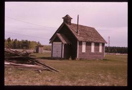
Photograph depicts an abandoned and worn out wooden building in a flat field.
Photograph depicts a section of railway trackage, presumed to be located within or nearby Sinclair Mills, BC.
Photograph depicts a section of railway trackage, presumed to be located within or nearby Sinclair Mills, BC. There is a man on the other side of the railway tracks.
Photograph depicts a post office, presumably in Sinclair Mills.
Photograph depicting a large stone surrounded by trees in an unknown location.
Photograph depicting a landscape with a lake and a mountain in the background.
Photograph depicting a large stone surrounded by trees and two people sitting on top of it.
Photograph depicting a log house, presumably in the campground in Quesnelle Forks.
Photograph depicting a small log cabin with a front porch and a sign reading "Happy 150th Anniversary Cariboo Gold Rush 1859-2009", presumably taken in Quesnelle Forks.
Photograph depicts the graves of Seward Rankin, Gerald Rankin, and James Rankin at the Soda Creek Cemetery.
Photograph depicts Celia M Dusseau's grave stone in the Soda Creek Cemetery.
Photograph depicting a dirt road winding between grass and trees in Soda Creek.
Photograph depicting an abandoned building in Soda Creek, the building surrounded by overgrown grass and trees.
Photograph depicting a garden and backyard in someone's personal residence.
Photograph depicting Kent Sedgwick and a dog in someone's garden and personal residence.
Newspaper is a special edition of Prince George Citizen entitled "Millenium Timeline." The edition is about the new millennium and entering the twenty-first century.
The item is the millennium edition of The Prince George Free Press. The "Millenium Report" was one of two different inserts in an unknown December 1999 issue. The edition contains information about Prince George's past and speculation as to where Prince George will be in the future.
The item is a photograph that depicts the front of a beige house at 321 North Moffat Street.
The item is a reproduction of a survey map drafted in January 1910. The reproduction was likely created in 1990. The subdivision is Lot 936 G. I. Cariboo District, B.C. The area covered is North of Twenty First Avenue, East of Quinn Street, South of Eighth Avenue and West of Carney Street. Annotations highlight "Owner Edgar McMickiny," "696" and "Jordan Brothel" written in red pen pointing to a specific location.
The item is a reproduction of a survey map drafted in September 1909. The reproduction was likely created in 1990. The annotations highlight owners of different lots up to approximately 1959. Th area covered is North of Fifteenth Avenue, East of Irwin Street, South of Eighth Avenue and West of Carney Street. Annotations on attached papers indicate different means of scale and measurement for the map.
The item is a reproduction of a survey map likely drafted in the 1910s. The reproduction was likely created in 1990. The area covered is South of Anderson Street, East of Simpson Street, North of Van Bien Avenue and West of 9th Street. Annotations state, "Pl 721 DL 1426."
The item is a reproduction of a survey map drafted on 1 March 1910. The reproduction was likely created in 1990. The area covered is South of Bernhardt Avenue, East of Simpson Street, North of the Fraser River and West of 9th Street. Annotations state, "DL 1426 Plan 721."
The item is a reproduction of a survey map drafted in 1909. The reproduction was likely created in 1990. The area covered are lots 931 and 417. Annotations state, "Plan 701," and various names are highlighted.
The item is a photograph and negative of a survey map of the Prince George townsite surrounding Connaught Park.
The item is a photograph negative of a survey map of the Prince George townsite surrounding Connaught Park.
The item is a photograph and negative of the Fort George Herald from 12 April 1913. The front-page article is titled, "The Grand Trunk Pacific Railway CO.'s Townsite of Prince George" and contains a survey map of the Prince George townsite.
The item is a photograph and negative of the Fort George Herald from 12 April 1913. The front-page article is titled, "The Grand Trunk Pacific Railway CO.'s Townsite of Prince George" and contains a survey map of the Prince George townsite.
The item is a photograph and negative of a survey map of the Prince George townsite. Areas highlighted are in the Nechako and Fraser River area, including Connaught Park.
The item is a photograph and negative of a survey map of the Prince George townsite. Areas highlighted are in the Nechako and Fraser River area, including Connaught Park.
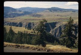
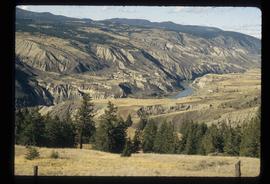
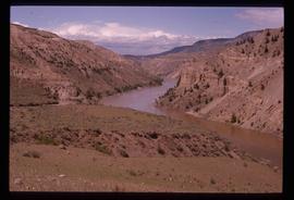
Image depicts a view of the eastern part of the upper Fraser Canyon.
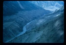
Image depicts the Fraser River passing through the upper Fraser Canyon.
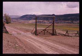
Image depicts the Upper Fraser Canyon from what appears to be the entrance to Gang Ranch.
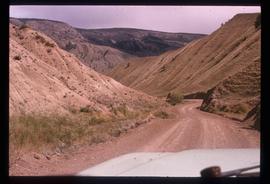
Image depicts a road near or on Gang Ranch in the Upper Fraser Canyon.
Image depicts the Fraser River near Gang Ranch in the Upper Fraser Canyon.
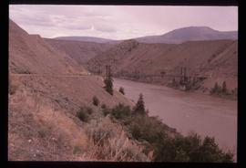
Image depicts a bridge over the Fraser River in the Upper Fraser Canyon; possibly near Gang Ranch.
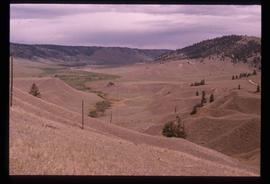
Image depicts a view of the Upper Fraser Canyon.
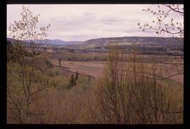
Image depicts a view of some of the scenery near the Upper Fraser Canyon.
Image depicts the Alkali Lake Ranch in Alkali Lake, B.C.
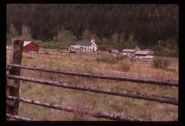
Image depicts a church and several other buildings in Canoe Creek.
Image depicts an old building at an uncertain location. The slide is simply labelled "Spring house."
Image depicts the Fraser River in the Lillooet, B.C.
