2012.13.1.5.42
·
Pièce
·
Apr. 2003
Fait partie de J. Kent Sedgwick fonds
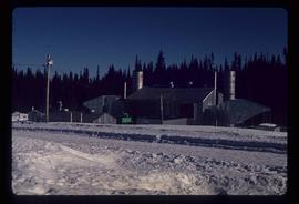
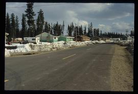
Image depicts the Prince George Multiplex.