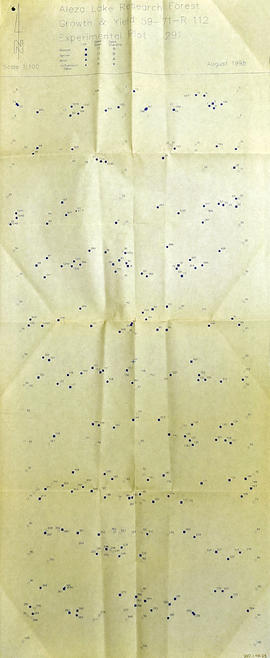
2006.18.5.63
·
Item
·
Mar. 1996
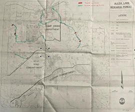
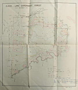
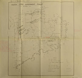
Part of Aleza Lake Research Forest Society fonds
Map depicts terrain themes in the Aleza Lake Research Forest. Ecosystem classification and mapping by Oikos Ecological Services Ltd.