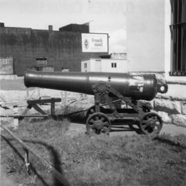
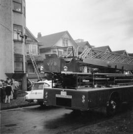
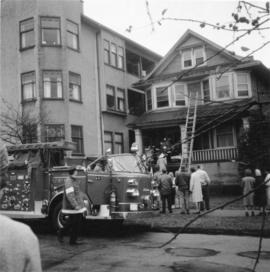
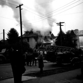
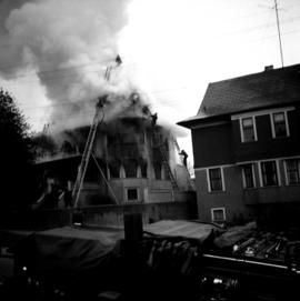
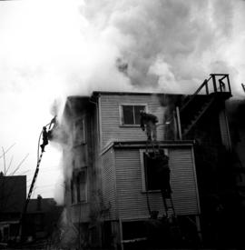
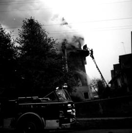
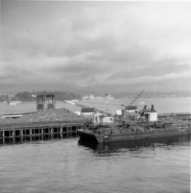
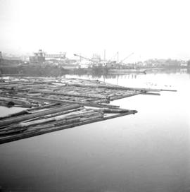
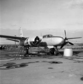
Showing 578 results

Archival description
564 results with digital objects Show results with digital objects
2013.6.36.1.088.06 · Item · 23 Nov. 1968
Part of David Davies Railway Collection

Photograph depicts the CPR line adjacent to the Immigration Building at the foot of Thurlow Street. Former spur that led to Pier A is visible in the foreground. New track that led to a recently constructed rail barge slip was about to be laid across the road at the corner of the Immigration Building.

Former "A" Pier of the CPR
2013.6.36.1.088.26 · Item · 9 Nov. 1968
Part of David Davies Railway Collection

Photograph depicts the former "A" Pier of the CPR near the entrance to Coal Harbour. Undergoing dismantling or major renovation of the pier. The steam crane on a scow belonged to Vancouver Pile Driving and Contracting Co. Ltd. Left of the crane's jib was a new CPR rail slip in construction.

2020.4.6.131 · File · 1985
Part of G. Gary Runka fonds

File consists of records created and accumulated by Gary Runka over the course of his consultancy work for Transport Canada for the "Drainage and Integrated Land Use Investigation - Boundary Bay Airport" project in Vancouver. This file was numbered as G.G. Runka Land Sense Ltd. client file #131; that client number may be seen referenced elsewhere in the G. Gary Runka fonds. The Land Sense Ltd. client files generally include records such as correspondence, contracts, invoices, project reports, publications, ephemera, memoranda, maps or map excerpts, legal documents, meeting materials, clippings, and handwritten notes. File also includes an accompanying oversize aerial photograph.

Maps, plans, and drawings
2023.5.1 · Series · 1976-2020
Part of UNBC School of Planning and Sustainability fonds

Series consists of maps, plans, and drawings collected by faculty in the UNBC School of Planning and Sustainability. The majority of these maps reflect the planning history of the City of Prince George and include large format, hand-drawn plans created by the City Planning Department from the 1970s and 1980s. Maps from City of Prince George Official Community Plans are also included.