2000.1.1.1.4.039
·
Item
·
May 1965
Part of Cassiar Asbestos Corporation Ltd. fonds
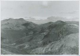
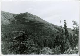
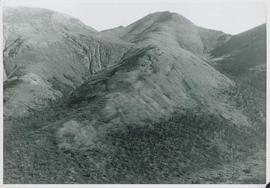
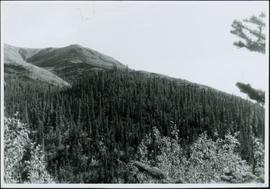
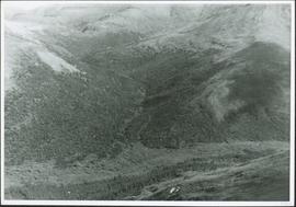
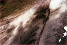
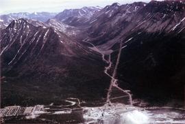
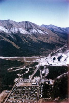
Aerial photograph of Clinton Creek, south of plant site.