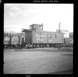
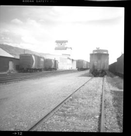
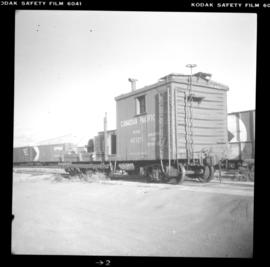
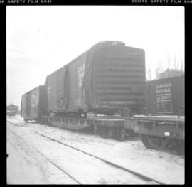
Plan depicts the proposed location and layout for the Canadian Northern Pacific terminal at Kamloops on the Kamloops-Lumby branch.
Architectural plan depicts a proposed standard 10 stall engine house with annex for machine shop and boiler room to be erected at Kamloops, BC.
Plan depicts the location of buildings occupied by the Northern Construction Company on the old Kamloops Station ground.
Plan depicts architectural drawings of the Canadian National Railway station in Kamloops. Includes an elevation of the building and floor plans.
Plan depicts sections, elevations, and floor plans for the addition to the Kamloops roundhouse.
Architectural block plan depicts a proposed addition to the CNR roundhouse in Kamloops.
Plan depicts the Canadian Pacific Railway yards in Kamloops and the proposed connection between CPR and CNR. Includes a CPR track profile, profiles of street crossing, and enlargements.
Plan depicts the CNR rail yard in Kamloops. The plan was originally drafted on March 6, 1928 and updated to July 1937.
Plan depicts "scheme B" of the proposed 6 stall addition to the roundhouse at Kamloops, BC.
Postcard depicts Main Street (Victoria West) Kamloops in 1910.
Postcard depicts Kamloops station at about 1895.
Postcard depicts the Kamloops CPR depot and gardens.
Postcard depicts Main Street (Victoria West) Kamloops in 1910.
Photograph depicts a C.N. locomotive at Riverside Park in Kamloops. It is s 2-8-0 locomotive # 2141 and was built in 1912 by the Canadian Locomotive Co. It is 68' long and 10'1" wide, with a light weight of 169, 200 lbs. It was converted to oil in 1948 and last ran from Cowichan Bay to Victoria on July 4, 1958. It was installed in the park in 1961.
Photograph depicts one of the earlier brick buildings beside the river, sited opposite the sternwheeler landing pier. It is called Commercial Block and was built in 1897.
Photograph depicts the Canadian National Railway (CN) Kamloops Junction depot, facing east. The single line spur to Kamloops is about two miles long.
Photo captures various old buildings and two standing locomotives at the Kamloops junction.
Photograph depicts an old type of boxcar (#71139) at Canadian National Railway (CN) Kamloops Junction. It was left right beside the station to hold coal and had no building date marked on it.
Photograph depicts a freshly painted Canadian National Railway (CN) caboose at Kamloops Junction depot.
Photograph depicts the Canadian National Railway (CN) line crossing the south Thompson River. Kamloops Junction and Kamloops city are joined by a 2 mile spur, which crosses the river as shown. The view in the photo is looking north from the site of the former fort.
Photograph depicts a bridge on the north Thompson River in Kamloops.
Photograph depicts an old wagon at a ranch on the east side of Peterson Creek.
Photograph depicts Iona Campagnolo speaking at the Kamloops Liberal Convention at the Stockmen's Hotel.
Photograph depicts Iona Campagnolo talking to men possibly at the Kamloops Liberal Convention at the Stockmen's Hotel.
Handwritten annotation on verso reads: “Kamloops--Liberal Convention, Big Speech, Big Response”.
Photographs from Cassiar trip report to Kal Tire Retread Plant at Kamloops, British Columbia. These photographs are of tires that are in the process of being retreaded.
Map depicts the proposed electoral districts of British Columbia, including: Burnaby, Capilano, Cariboo-Chilcotin, Comox-Powell River, Cowichan-Malahat-The Islands, Esquimalt-Saanich, Fort Nelson-Peace River, Fraser Valley East, Fraser Valley West, Kamloops-Shuswap, Kootenay East, Kootenay West, Mission-Port Moody, Nanaimo-Alberni, New Westminster-Coquitlam, North Vancouver-Burnaby, Okanagan North, Okanagan-Similkameen, Prince George-Bulkley Valley, Richmond-South Delta, Skeena, Surrey-White Rock-North Delta, Vancouver Centre, Vancouver East, Vancouver Kingsway, Vancouver Quadra, Vancouver South, and Victoria.
Photograph depicts a school room or church on the road between Louis Creek and Adams Lake.