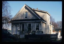
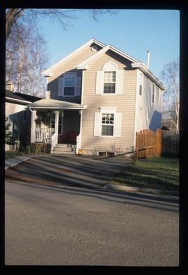
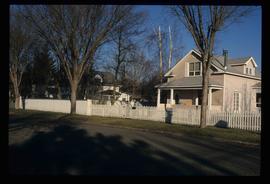
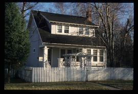
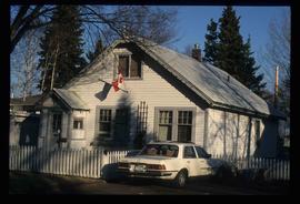
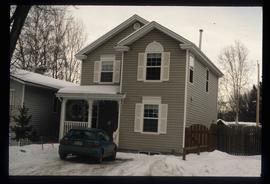
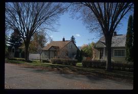
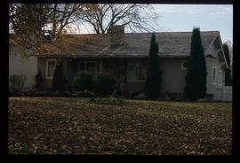
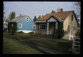
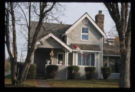
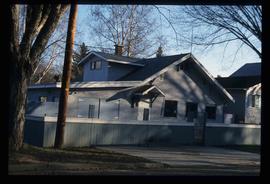
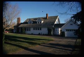
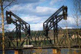
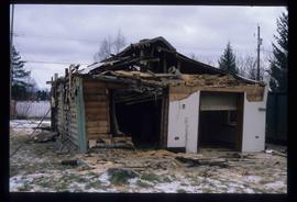
Image depicts a view of the Millar Addition suburb from Connaught Hill in Prince George, B.C.
Image depicts 1532 Fir Street in Prince George, B.C.
Image depicts 1598 Fir Street in Prince George, B.C.
Image depicts 1488 Gorse Street in Prince George, B.C.
Image depicts 1386 Ingledew Street in Prince George, B.C.
Image depicts 1354 Ingledew Street in Prince George, B.C.
Image depicts downtown Prince George taken from across the Nechako River looking south. Map coordinates 53°56'00.0"N 122°44'29.7"W
Image depicts Prince George Sawmill taken from across the Nechako River looking southwest. Map coordinates 53°56'00.0"N 122°44'29.7"W
Image depicts Prince George with numerous trees obscuring most of the view.
Image depicts Prince George.
Image depicts the Fraser River at Paddlewheel park, with a train on the other side of the river, in Prince George B.C.
Image depicts a view of Prince George.
Image depicts 1598 Fir Street in Prince George, B.C.
Image depicts 1465 Elm Street, 1445 Elm Street, and 1425 Elm Street in the Millar Addition neighbourhood of Prince George, B.C.
Image depicts 1425 Taylor Drive in Prince George, B.C.
Image depicts 1650 Dogwood Street and 1670 Dogwood Street in the Millar Addition neighbourhood in Prince George, B.C.
Image depicts a property given to the Veterans of the Second World War, located on the corner of 15th Avenue and Elm Street in Prince George, B.C.
Image depicts 1510 Fir Street in Prince George, B.C.
Image depicts 1590 Fir Street in Prince George, B.C.
Image depicts 135 Patricia Boulevard in Prince George, B.C.
Photograph depicts a CN bridge crossing over the Fraser River. Details of the draw span captured.
Photograph depicts a CN bridge crossing over the Fraser River.
Photograph depicts a print taken fron a slide supplied by a professional photographer, Al Harvey. Captures a CN bridge crossing over the Fraser River.
Image depicts the Northwood Bridge in Prince George, B.C.
Image depicts the Prince George Sawmill from the Northwood Bridge.
Image depicts the Europe Hotel in Prince George prior to its demolition in the 1980s; however, the slide itself was only made in 1999 and the date of the photo is otherwise unknown, but most likely around 1979.
Image depicts a house in the process of being demolished in Prince George, B.C.
This map is the Schedule A accompanying map for the City of Prince George's Soil Removal and Deposit Bylaw No. 7022 of 1999. It depicts designated soil removal areas and M.O.T.H. gravel reserves.
Photograph depicts a CN bridge crossing over the Fraser River.
Image depicts a snow sculpted fire place and couch on a skating rink, possibly during the Winter City Conference, in Prince George, B.C. Taken at the Prince George Civic Center. Map coordinates 53°54'45.6"N 122°44'59.6"W
Image depicts a snow sculpture of the Mr. P.G. lounging on a couch, possibly during the Winter City Conference, in Prince George, B.C. Taken at the Prince George Civic Center. Map coordinates 53°54'45.6"N 122°44'59.6"W
Image depicts a house in the process of being demolished in Prince George, B.C.
Photograph depicts a CN bridge crossing over the Fraser River. Details of the draw span captured.
Photograph depicts a B.C. Telephone book with a CN bridge crossing the Fraser River featured on its cover.
Image depicts a snow sculpture of a bear, possibly during the Winter City Conference, in Prince George, B.C. Taken at the Prince George Civic Center. Map coordinates 53°54'45.6"N 122°44'59.6"W
Image depicts a snow sculpture of a man with a shovel, possibly during the Winter City Conference, in Prince George, B.C. Taken at the Prince George Civic Center. Map coordinates 53°54'45.6"N 122°44'59.6"W
Image depicts the Northwood Bridge crossing in Prince George B.C.
Image depicts the Northwood Bridge in Prince George, B.C.
Photograph depicts a loaded coal train en rout to Prince Rupert travelling on a CN bridge that crossed over the Fraser River.
Image depicts two snow sculptures near a wooden bridge on an ice rink, possibly during the Winter City Conference, in Prince George, B.C. Taken at the Prince George Civic Center. Map coordinates 53°54'45.6"N 122°44'59.6"W
Image depicts a house in the process of being demolished in Prince George, B.C.
This map depicts the City of Prince George's plan for soil removal and deposit.
Photograph taken at Chancellor's Farewell Appreciation Celebration held at the University of Northern British Columbia in Prince George, B.C.; see also items 2009.6.1.582 - 2009.6.1.590.
Campagnolo stands between her portrait and Dr. Charles Jago speaking at podium. Photograph taken at Chancellor's Farewell Appreciation Celebration held at the University of Northern British Columbia in Prince George, B.C.; see also items 2009.6.1.582 - 2009.6.1.590.