Image depicts a street in Barkerville, near Wells, B.C.
Image depicts Barkerville, B.C.
Image depicts the back of the main street Barkerville, B.C.
Photograph taken at Barkerville.
Image depicts Barkerville, B.C.
Photograph depicts a completely rebuilt saloon that was done so based on historical sketches and photos.
Image depicts a street in Barkerville, B.C.
This file consists of 12 copy prints and negatives (some duplicates) depicting a hunter, wildlife, landscape, children, townsite, pioneers, mining, and hospital around Barkerville.
Image depicts a street in Barkerville, B.C.
Stagecoach, Cariboo - Chilcotin region of British Columbia
This file consists of 8 copy prints and negatives depicting hunting, wildlife, mining, and a town gathering around Barkerville.
Image depicts a snow-covered hill in Barkerville, B.C.
Image depicts a street in Barkerville, B.C.
Image depicts an old Anglican Church in Barkerville, B.C.
Image depicts the Barkerville theatre from the porch of the Hudson's Bay Company.
File consists of:
- Barkerville Historical Park pamphlet (1961?)
- Postcard of St. Saviour's Church, Barkerville, "one of BC's oldest churches" (2 Aug. 1964)
- An informational booklet about St. Saviour's Church, Barkerville (2 Aug. 1964)
- Theatre Royal, Barkerville playbill (2 Nov. 1966)
- Theatre Royal, "The Legend of Fanny Bendixon" playbill (1983)
- Barkerville Schedule of Events (1983)
Cariboo - Chilcotin region of British Columbia
Photograph depicts a water pump, dated 1883. Animal water trough and pipe were both made out of wood, which was typical for the Barkerville period.
Image depicts a Hydraulic Placer mining location in Barkerville which has been completely deforested.
Image depicts the main street of Barkerville, B.C.
Image depicts a Sporting House in Barkerville.
Image depicts a crowd watching a man pan for gold in Barkerville.
Image depicts an unrestored log house in Barkerville, B.C.
Image depicts the Masonic Hall in Barkerville, B.C.
File consists of notes, clippings, and reproductions relating to Quesnel, Barkerville, and Wells. Includes: "An Historic Walk of Carson Avenue, Quesnel, B.C". pamphlet prepared by the Quesnel Branch Cariboo Historical Society (1990); "Wells, B.C". pamphlet by the Wells Historical Society (1980); "Cottonwood House Provincial Historic Park" pamphlet by the Province of British Columbia (1980); and vol. 1 of the Cariboo Gazette newspaper (2002). Also includes a map depicting Bowron Lake Park in British Columbia (1968).
Image depicts an unrestored, collapsing log-house in Barkerville, B.C.
Image depicts several unknown individuals in the China Town of Barkerville, B.C.
Image depicts the House Hotel in Barkerville, B.C.
Image depicts the main street of Barkerville, B.C.
Photograph depicts sluicing monitors that were used to tear down and break up alluvial gold bearing material.
Cariboo - Chilcotin region of British Columbia
Photograph depicts a primitive tram with external flonges and a swivel support for a tub that was found amongst the debris near the blacksmiths shop in Barkerville.
Photograph depicts the completely rebuilt drug store in Barkerville based on historical sketches and photos.
Image depicts an unrestored chinese shack in Barkerville, B.C.
Image depicts a building in Barkerville with Chinese writing; it is possibly a store.
Image depicts a freight wagon in Barkerville.
Image depicts a pan of gold nuggets in Barkerville.
Image depicts a sign on the dirt road leading to Barkerville from Keithley Creek. The sign reads: "Barkerville 40 (via Yanks Peak) Maximum elevation 6200 FT. Summer road only. Steep grades and switchbacks not recommended for other than 4-wheel drive vehicles. You are entering an isolated mountain area; you will be on your own."
Image depicts the Hudson's Bay Company in Barkerville, B.C.
Photograph depicts a hydraulic sluicing monitor that was not a piece on display in the exhibit, but was a piece of abandoned equipment found below Barkerville town. It was made by Empire Foundry, Marysville, California.
Image depicts the Wake Up Jake Saloon in Barkerville, as well as several other buildings.
Image depicts a souvenir and gift shop for both Barkerville and Wells, B.C.
Item reads "Programme of Ceremony at Unveiling of Cairn at Barkerville under the auspices of Cariboo Lodge No. 4, A.F. & A.M., to mark completion of the historic Cariboo Road in 1865". Includes an order of ceremony, the committee in charge, information about children's sports at the event, and a listing of pioneers and "old-timers" present in the platform party at the event.
Handwritten annotation on verso “ Barkerville in 1930’s".
Image depicts the interior of the Wake Up Jake Saloon in Barkerville, B.C.
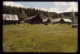
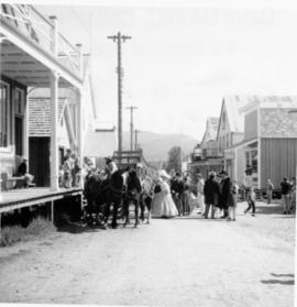
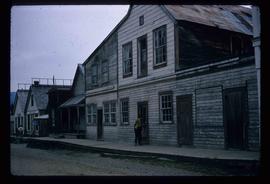
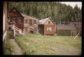
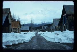
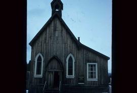
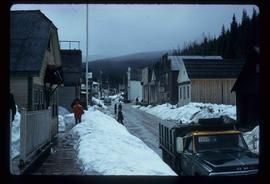
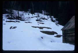
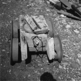
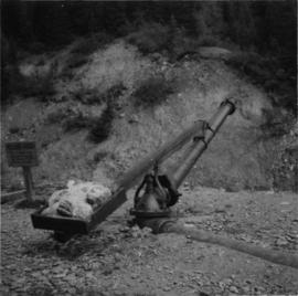
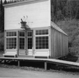
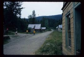
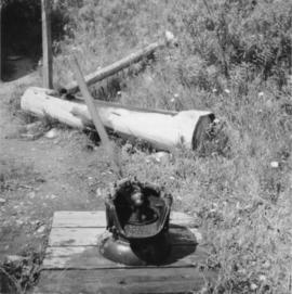
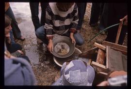
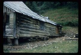
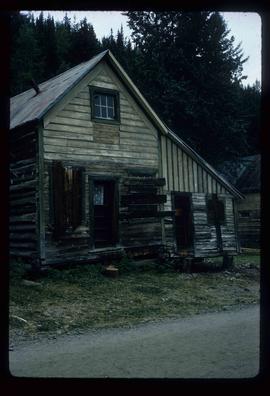
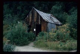
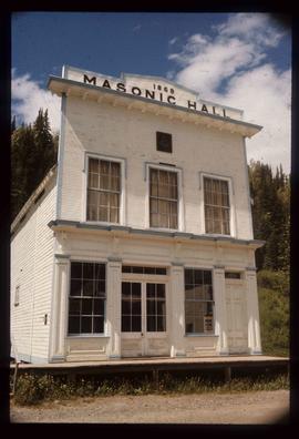
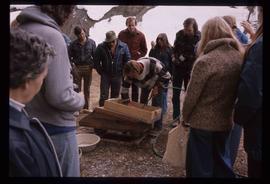
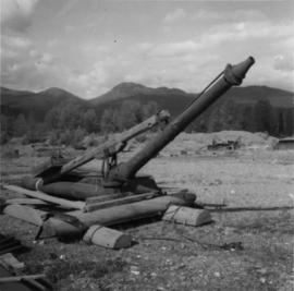
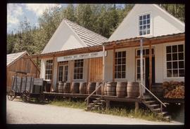
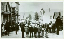
The item is a document created by the John Hopps Mining Property documenting various aspects of their mining operations. The document contains descriptions detailing the history of the discovery of gold in the Cariboo and the founding of John Hopp Mining Property. Information on the Property includes estimated earnings, estimated costs, cubic yards washed, ounce yields, value of yields, values per cubic yard, actual operating expenses, improvements, and profits over operating expenses for years 1907 to 1924. Photographs depict Stouts Gulch hydraulicing, Stouts Gulch to Lowhee Summit, Lowhee Ditch & Penstock facing Lowhee Stouts Gulch Summit, the new Lowhee Reservoir Dam construction, Lowhee Flume and Dump, Lowhee flume and pit, Mosquito Creek flume, cleaning bedrock at Mosquito Creek, the building at Willow River, Ella Reservoir Dam construction, the saw mill at Jack of Clubs Lake, Forest Rose flume, gold samples from Lowhee Stouts Gulch and Mosquito Creek. The maps depict claims, leases, etc. on Williams Creek, John Hopp mining properties in Barkerville District and British Columbia mining divisions in 1922. The ledger includes leaves, real estate placer claims, record placer claims, crown granted land, and water records for the John Hopp Mining Property.
The document was created to show the extent and operations of the Jonn Hopp Mining Property. The Property is known for its historical significance in gold mining in British Columbia during the 1920s.
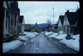
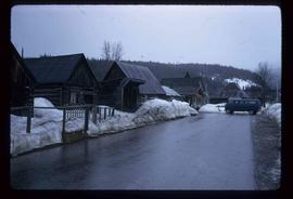
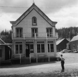
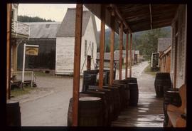
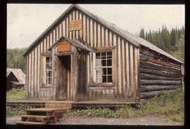
John Hopp was a notable for his involvement in mining in the Wells-Barkerville area in the Cariboo region of British Columbia. He managed operations at Slough Creek Ltd., which included the first shaft house, first office and first bunkhouse. The John Hopp Mine at Lowhee Creek was named after him and was a significant gold producer.
The item contains photographs materials from 1868 to its publication in 1923.
This item covers over 55 years of mining operations, their value, and social and environmental impact in the Cariboo Region of British Columbia spanning 1868 to 1923.
John Hopp Mining CompanyFile consists of course development material for Dr. Robin Fisher's UNBC HIST 407 course "Local History/Methodology" which was a summer field school course in Barkerville. Includes HIST 407 syllabus.
File consists of course development material for Dr. Robin Fisher's UNBC HIST 407 course "Local History/Methodology" which was a summer field school course in Barkerville. Includes HIST 407 syllabus.
This photograph reprint sourced from the Provincial Archives of British Columbia depicts an illustration of Williams Creek from the canyon to middle town (Barkerville).