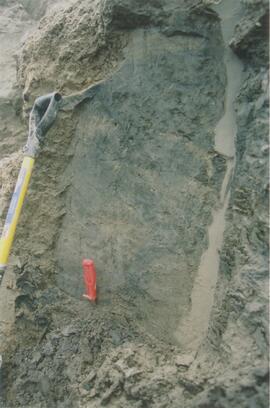
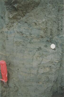
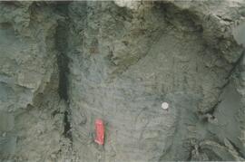
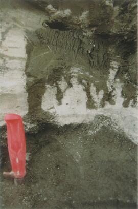
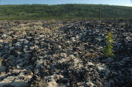
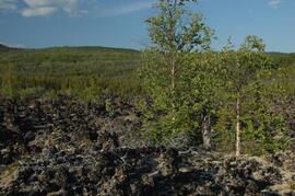
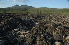
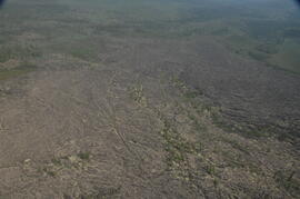
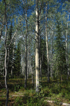
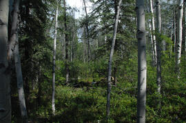
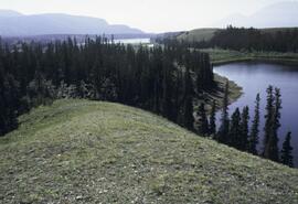
2012.13.1.98.48
·
Item
·
1999
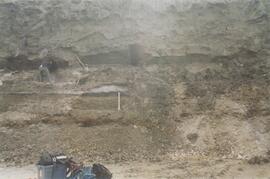
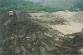
Part of J. Kent Sedgwick fonds
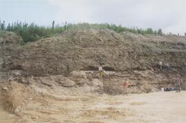
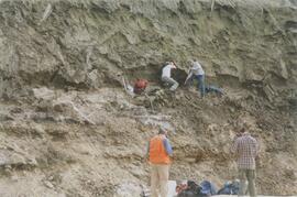
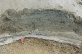
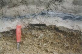
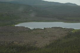
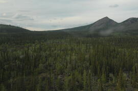
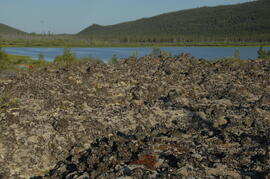
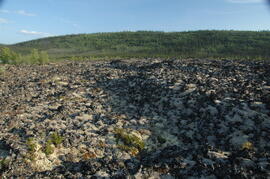
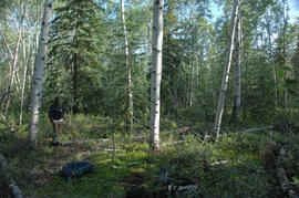
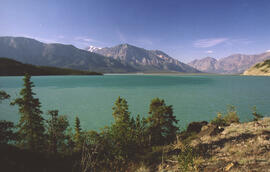
Image depicts Bennett Lake near Carcross, Y.T.